
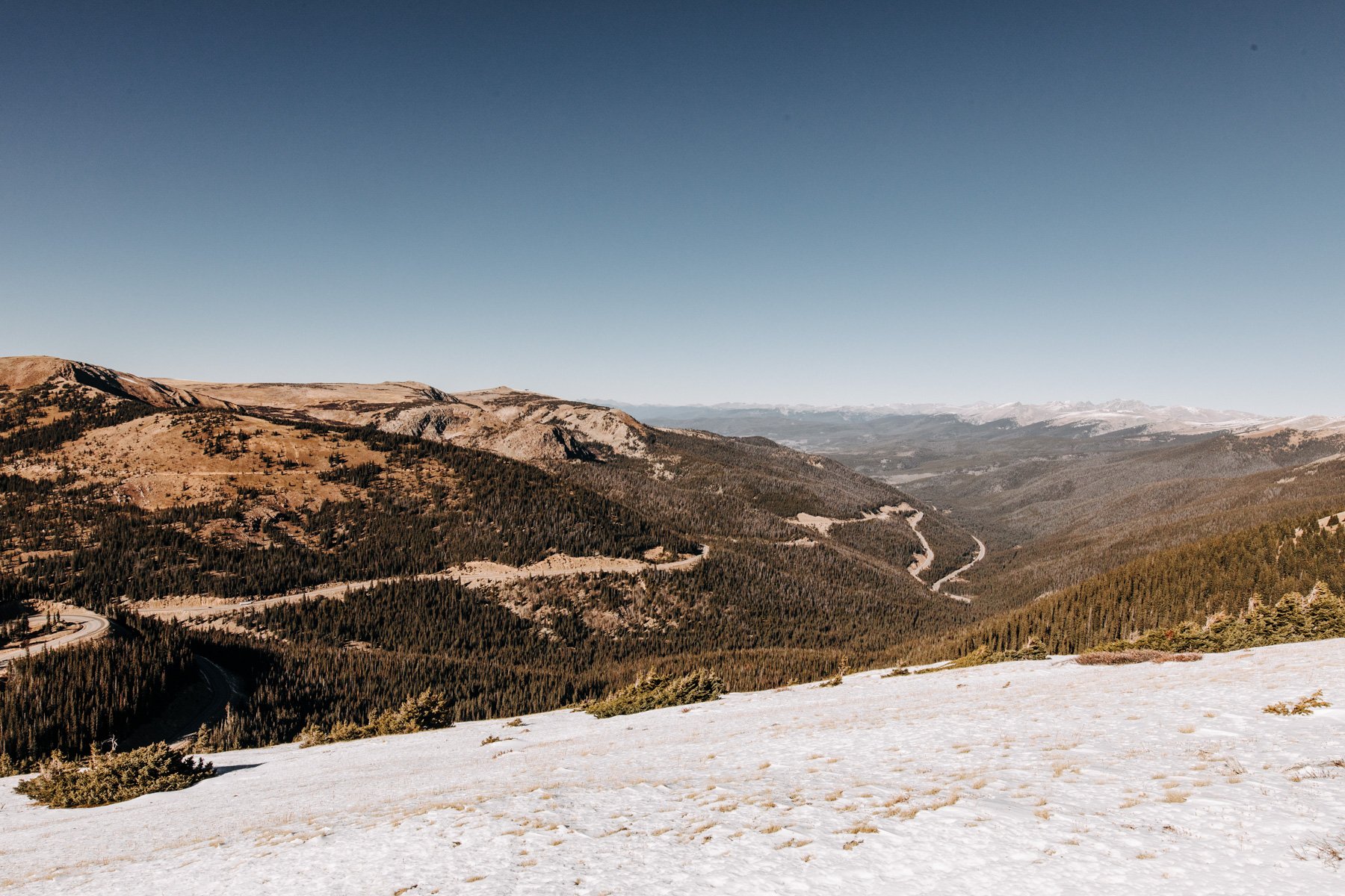
The 10 Best Hikes Near Denver

*Updated for 2025!* I wrote this blog post 5 years ago when I lived in Grand Junction, after having moved away from Denver. I’m stoked to say that I have now moved back. :)
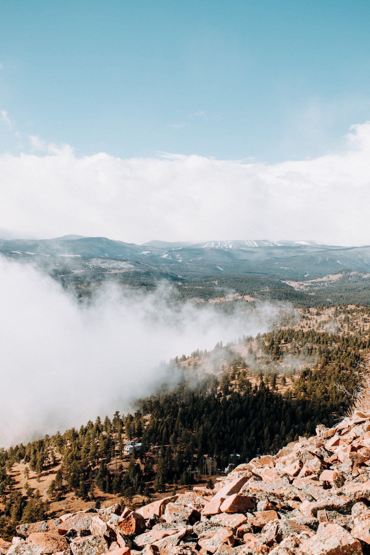
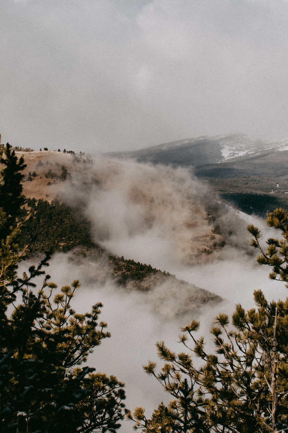
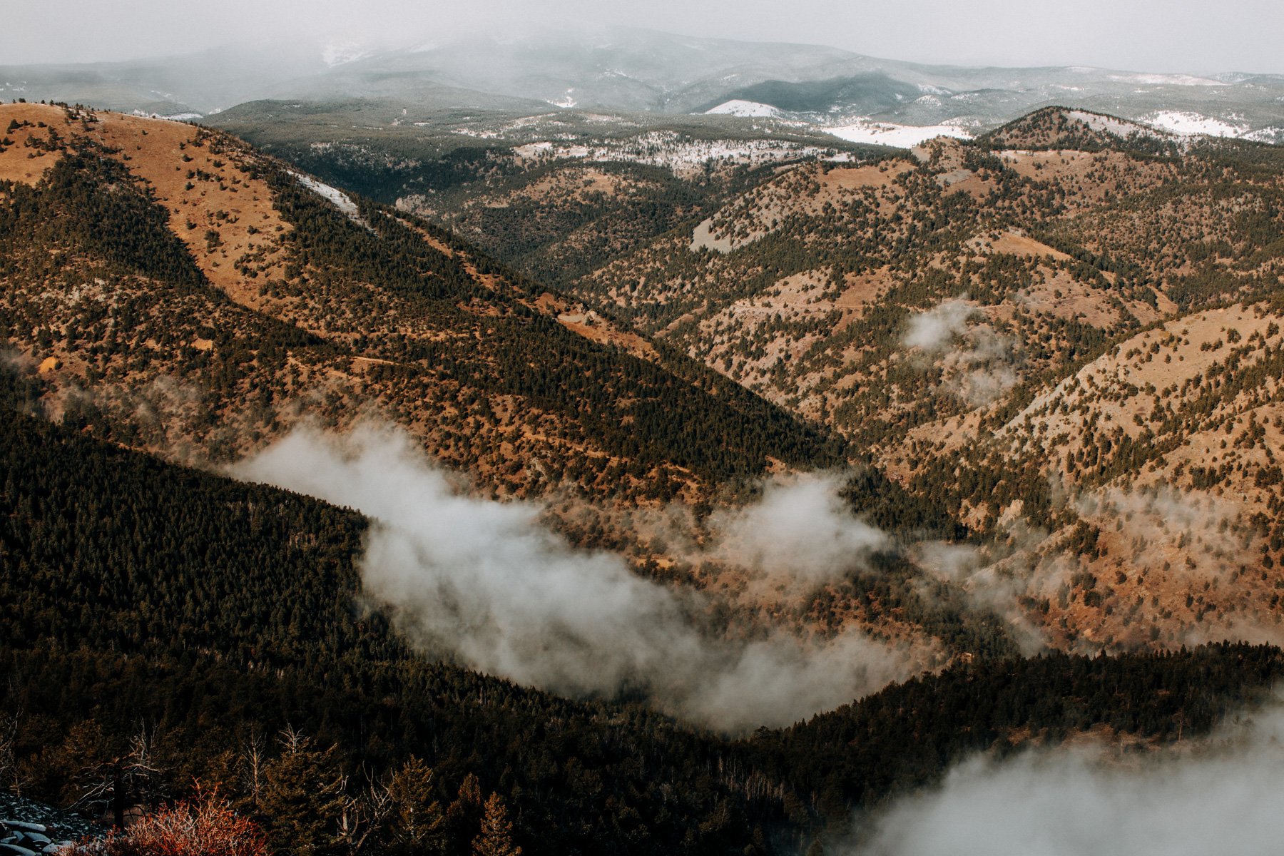
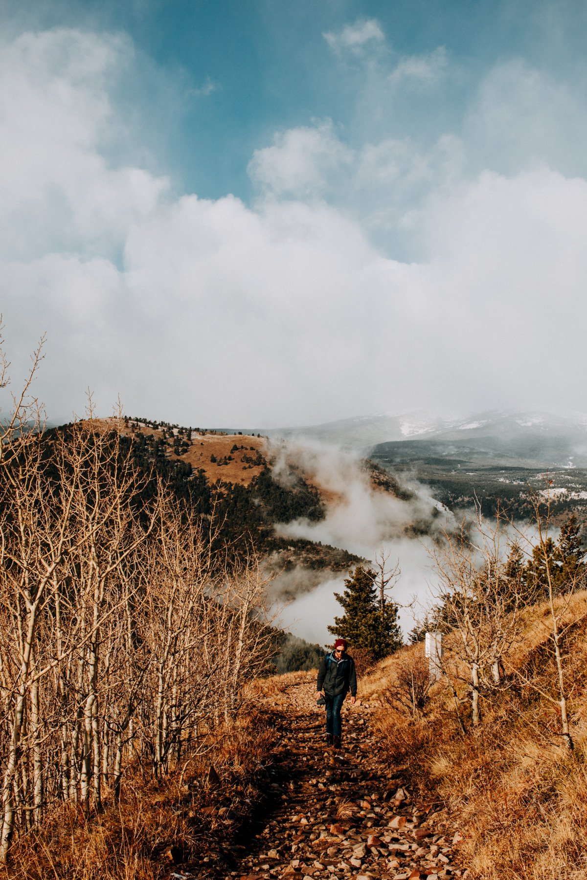
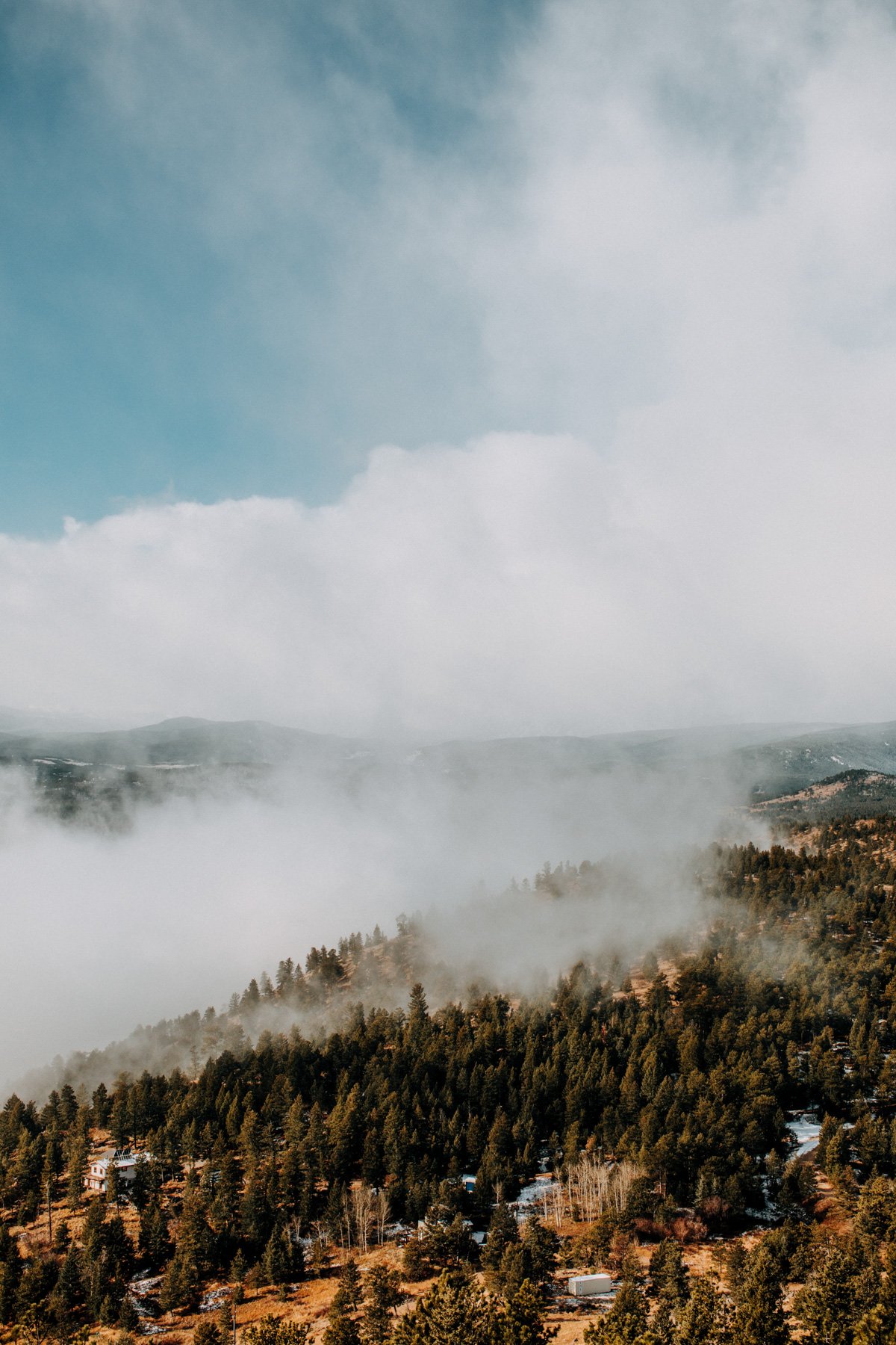
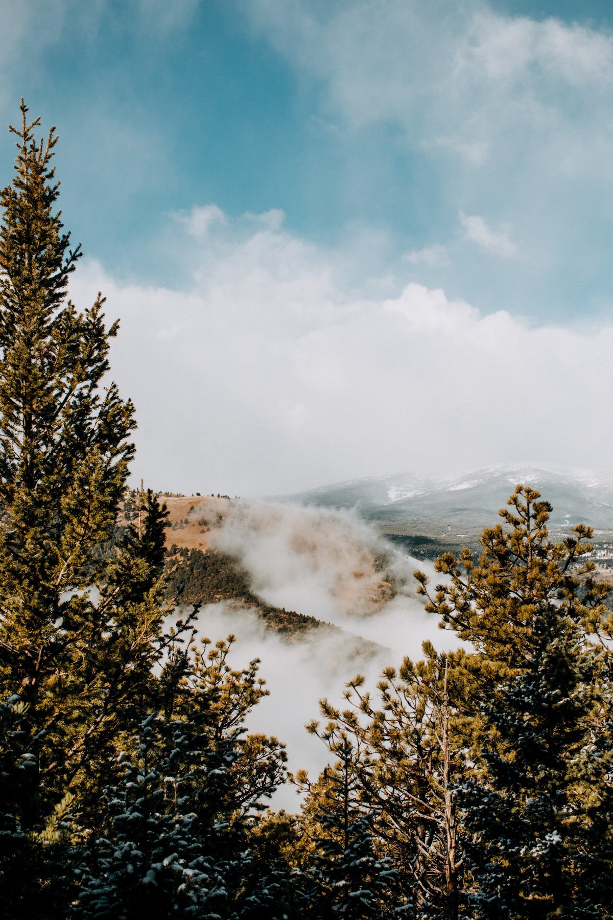
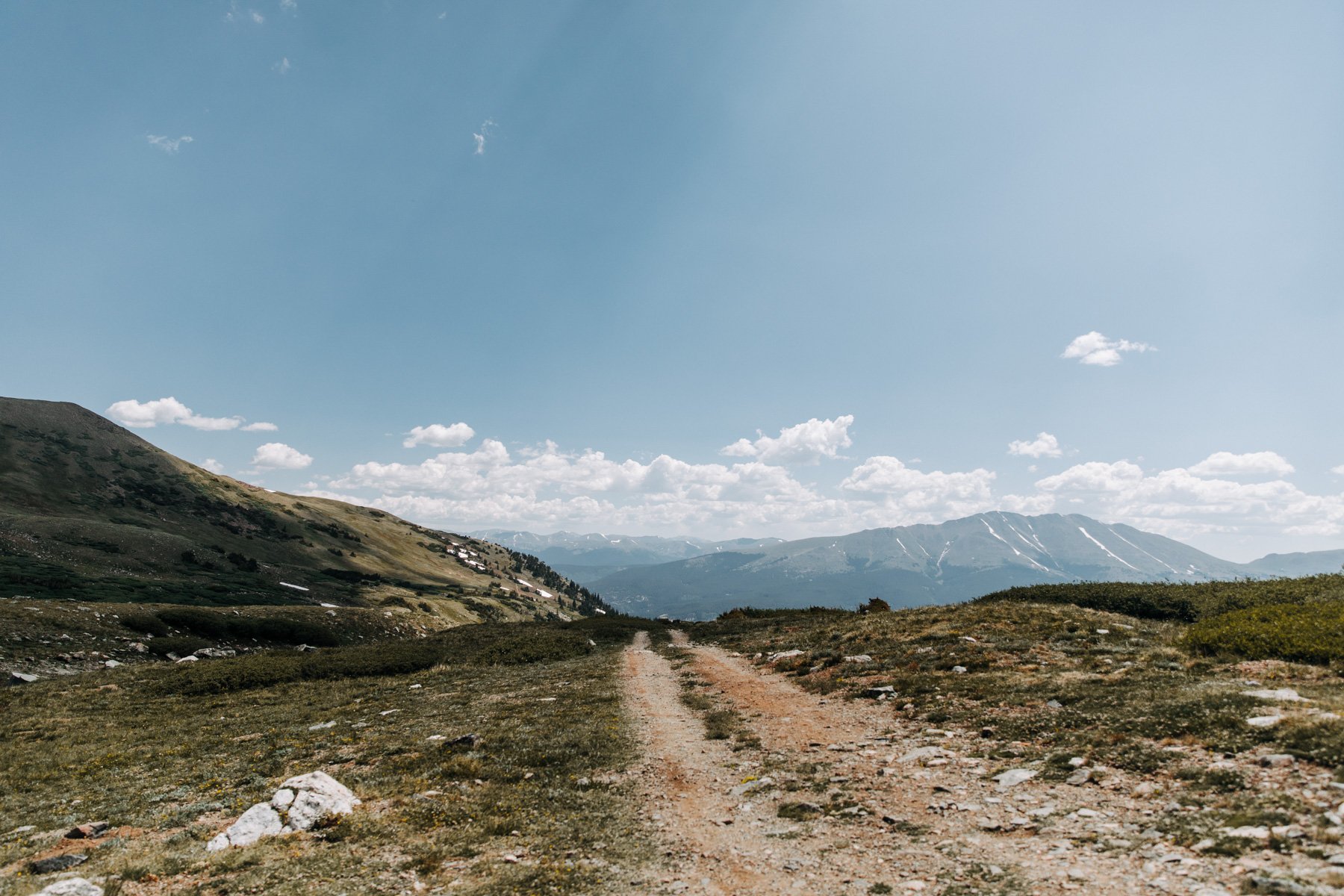
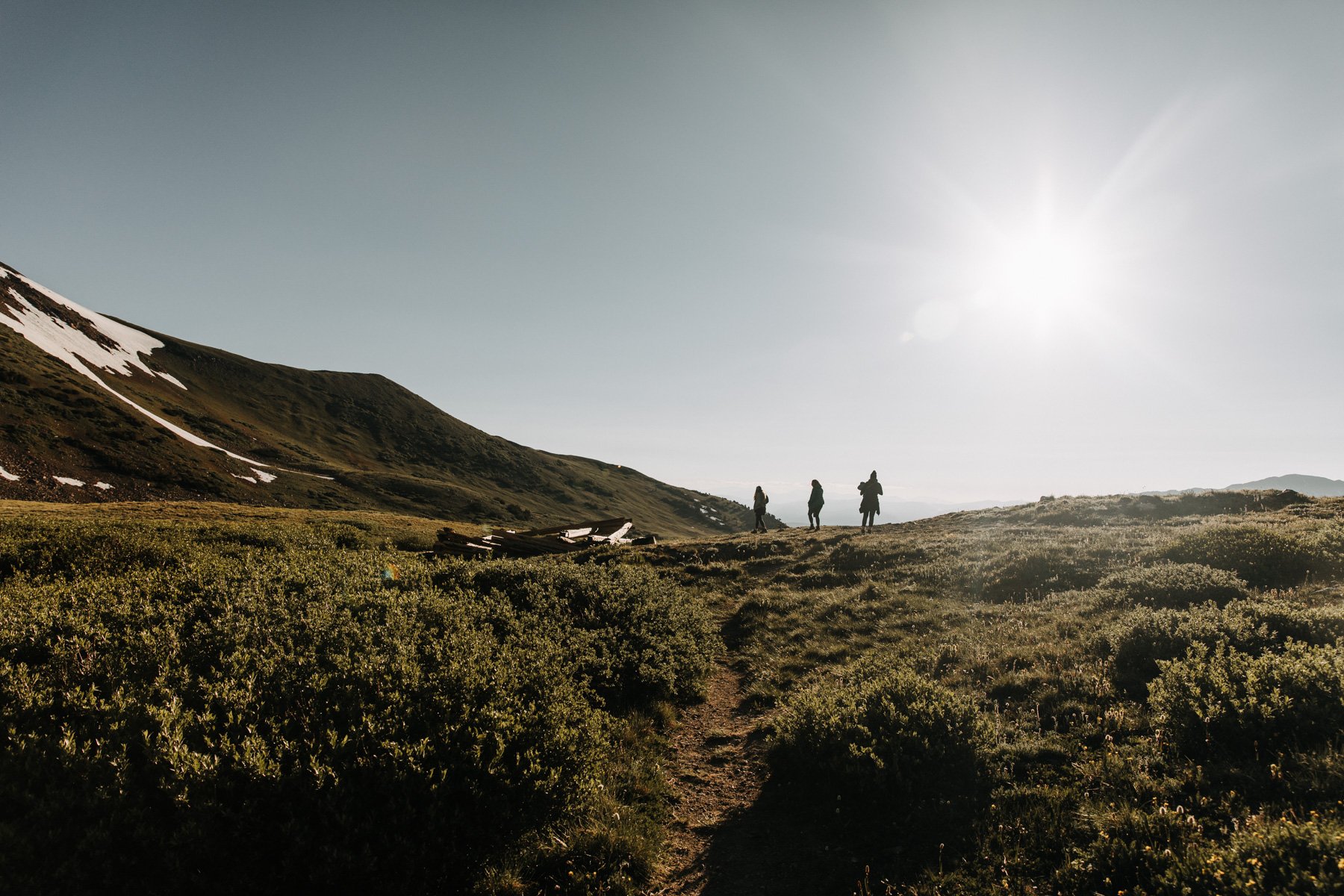
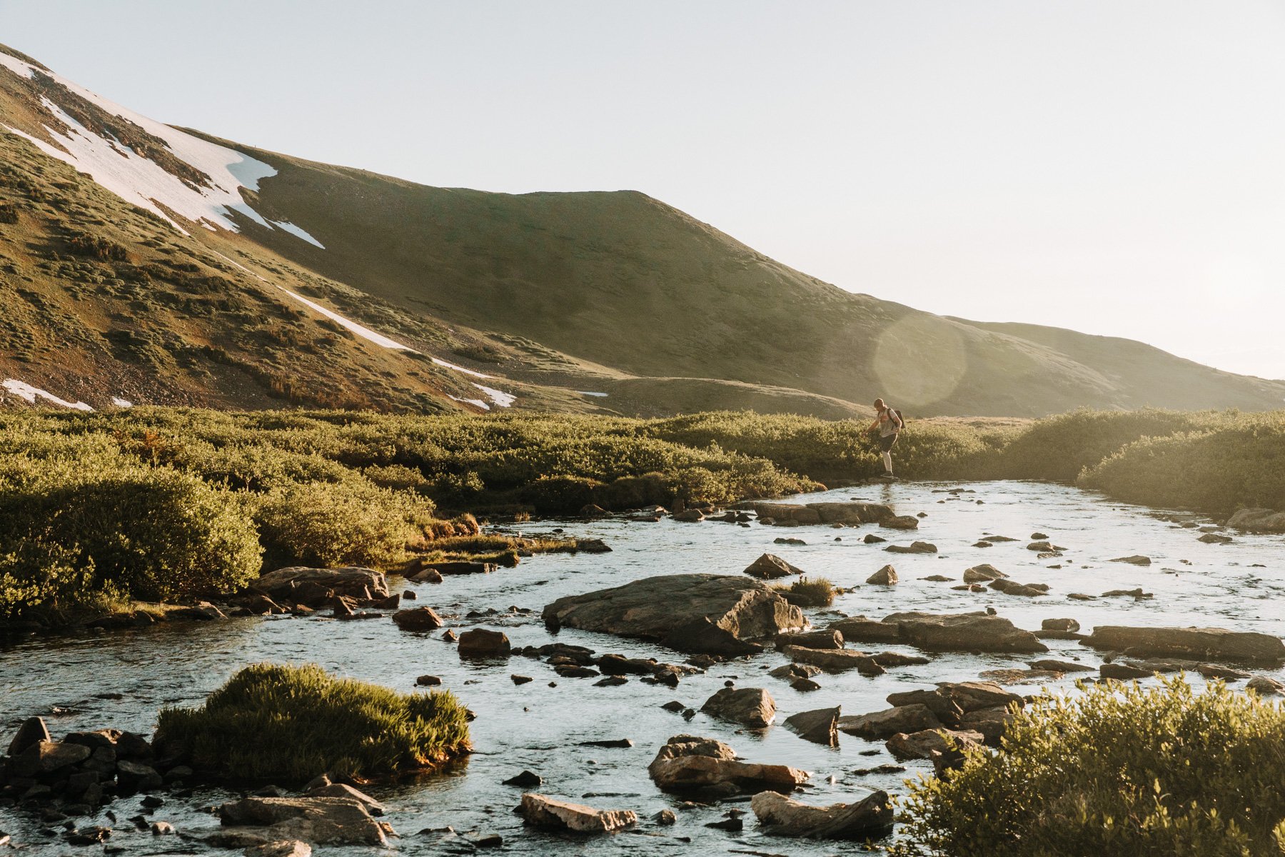
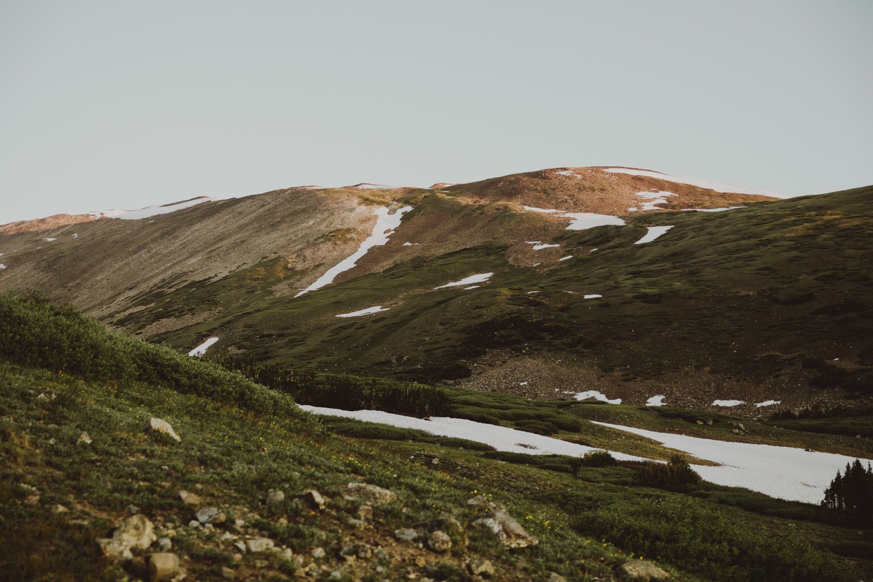
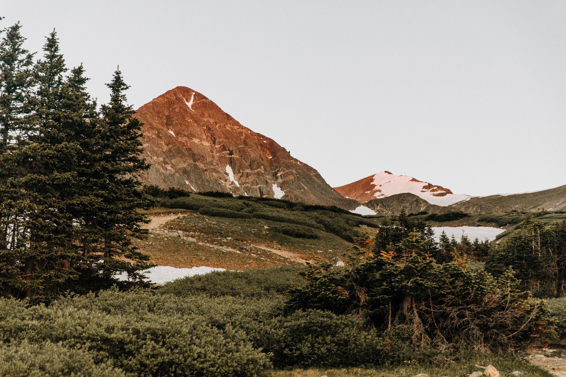
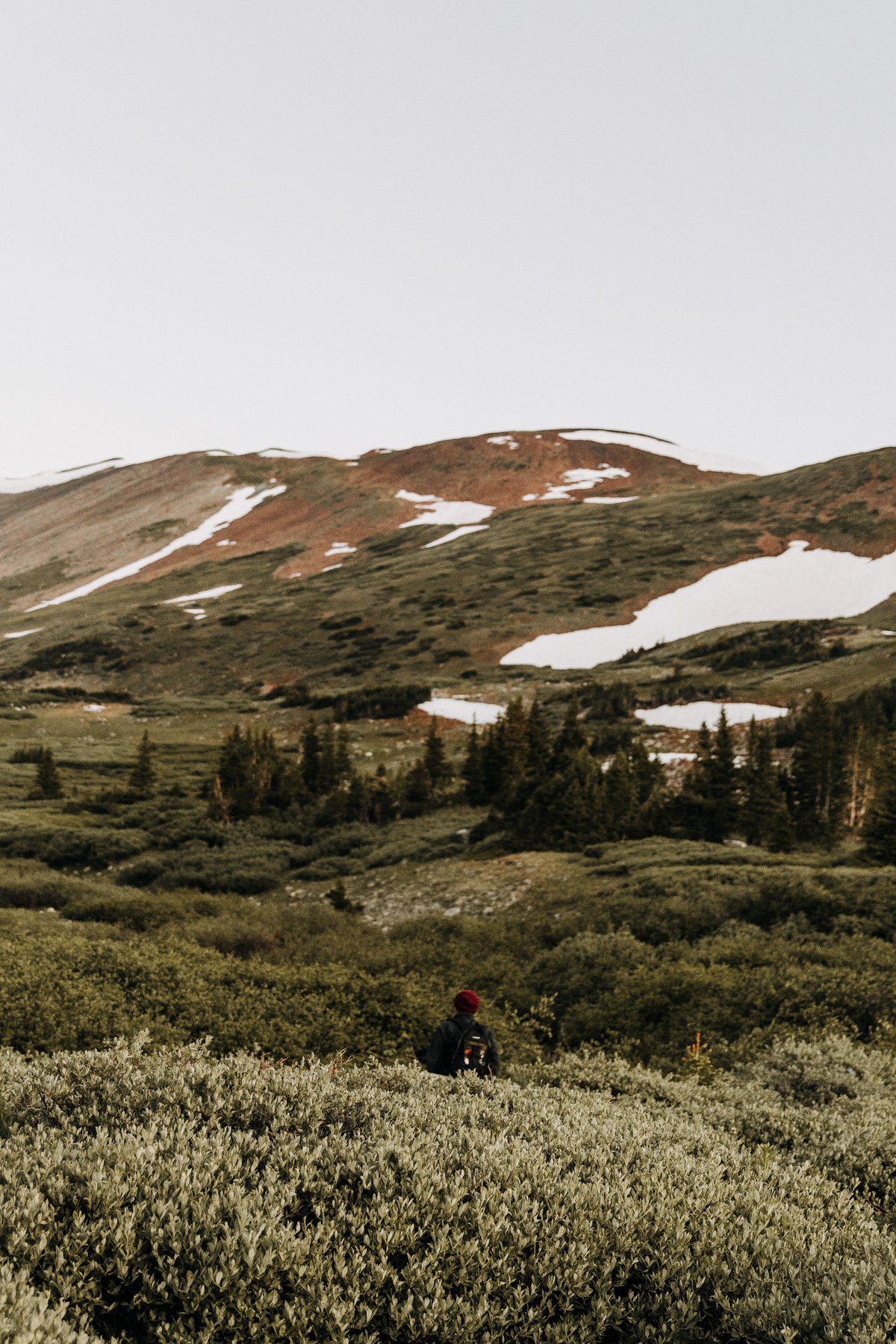
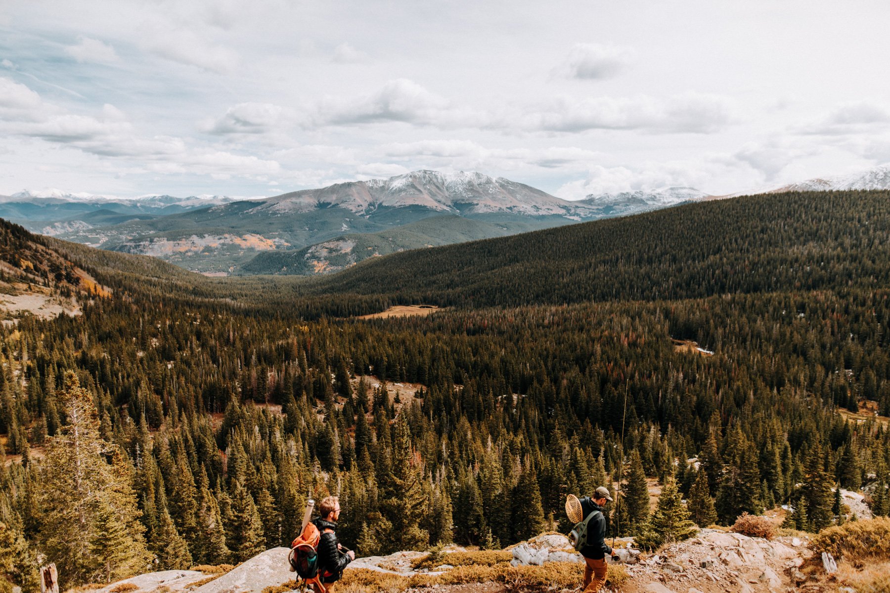
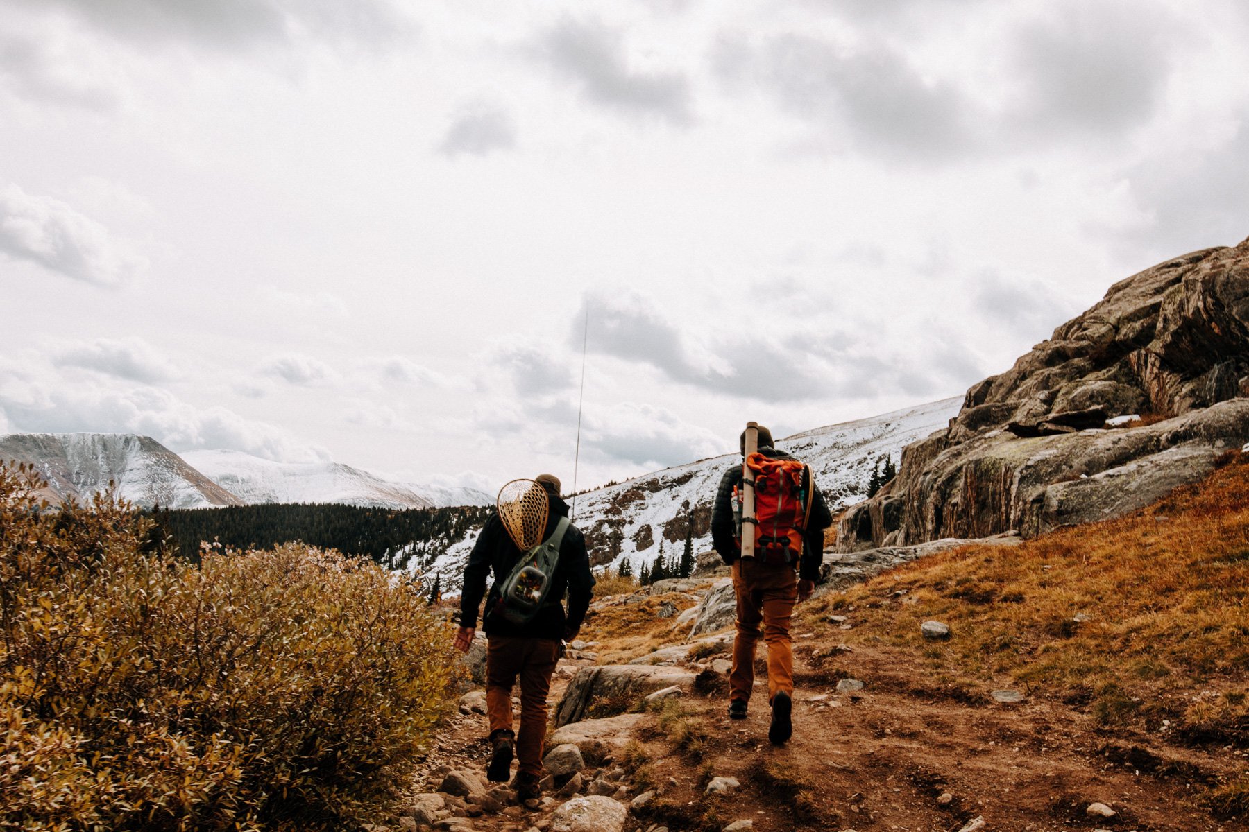
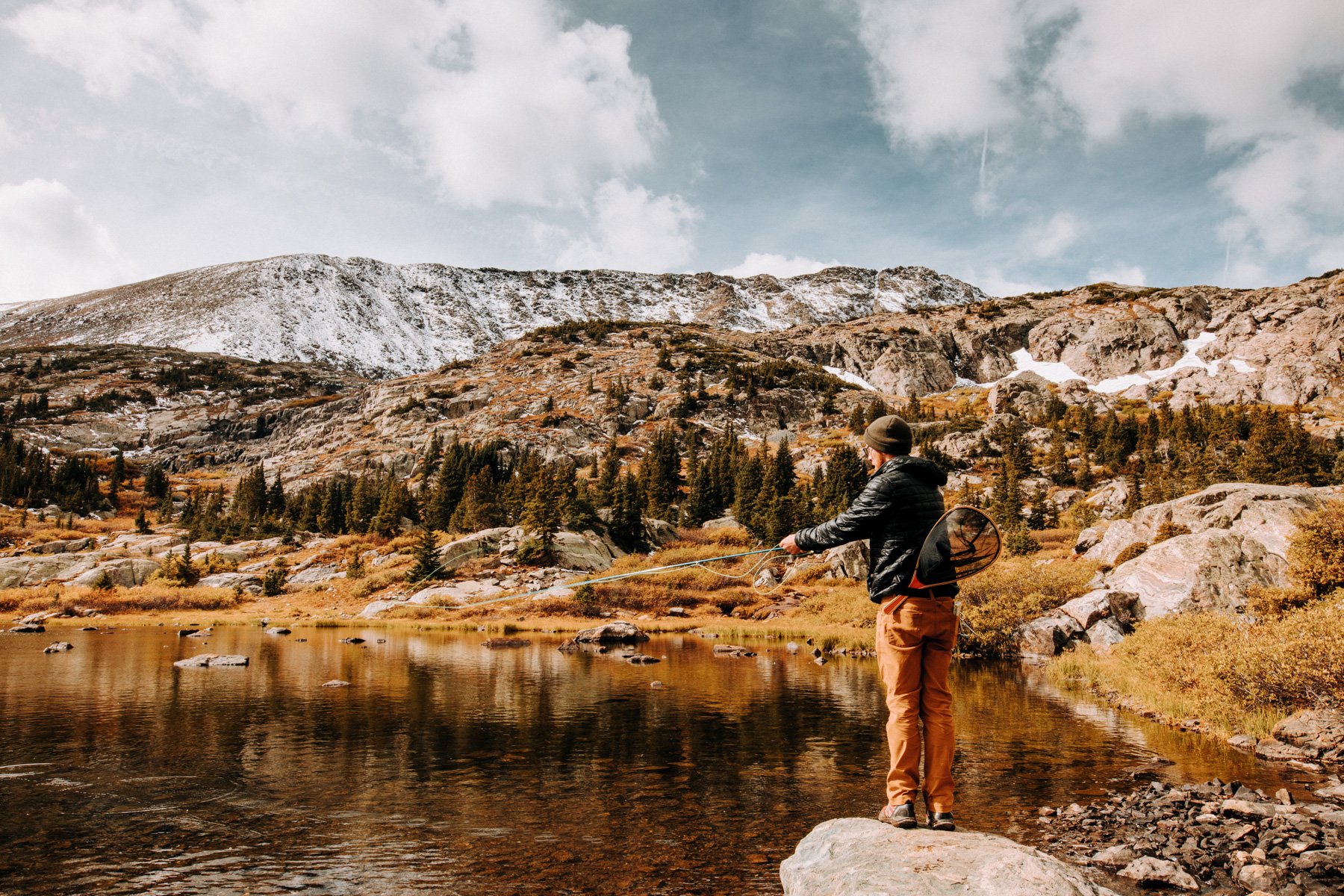
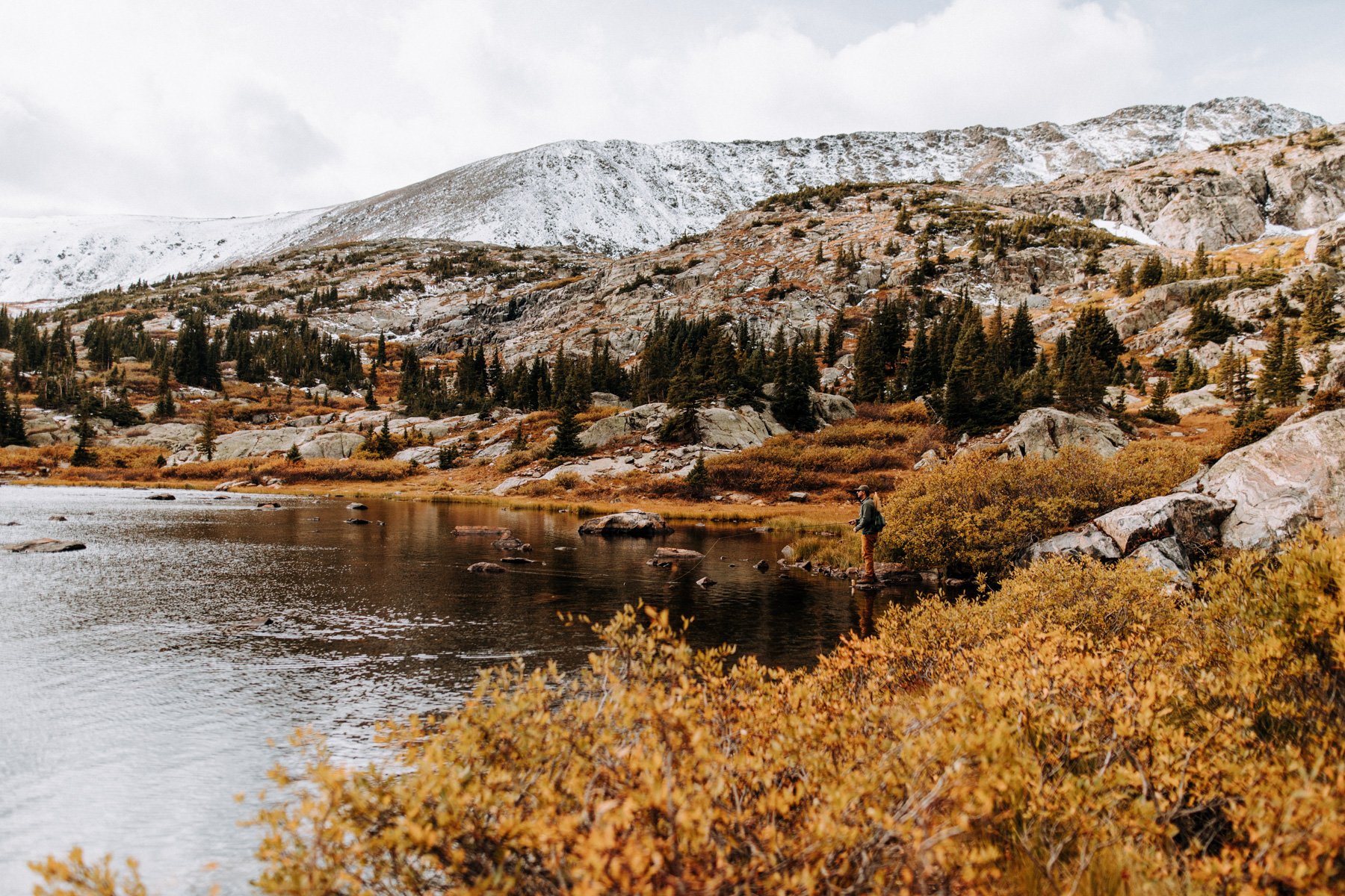
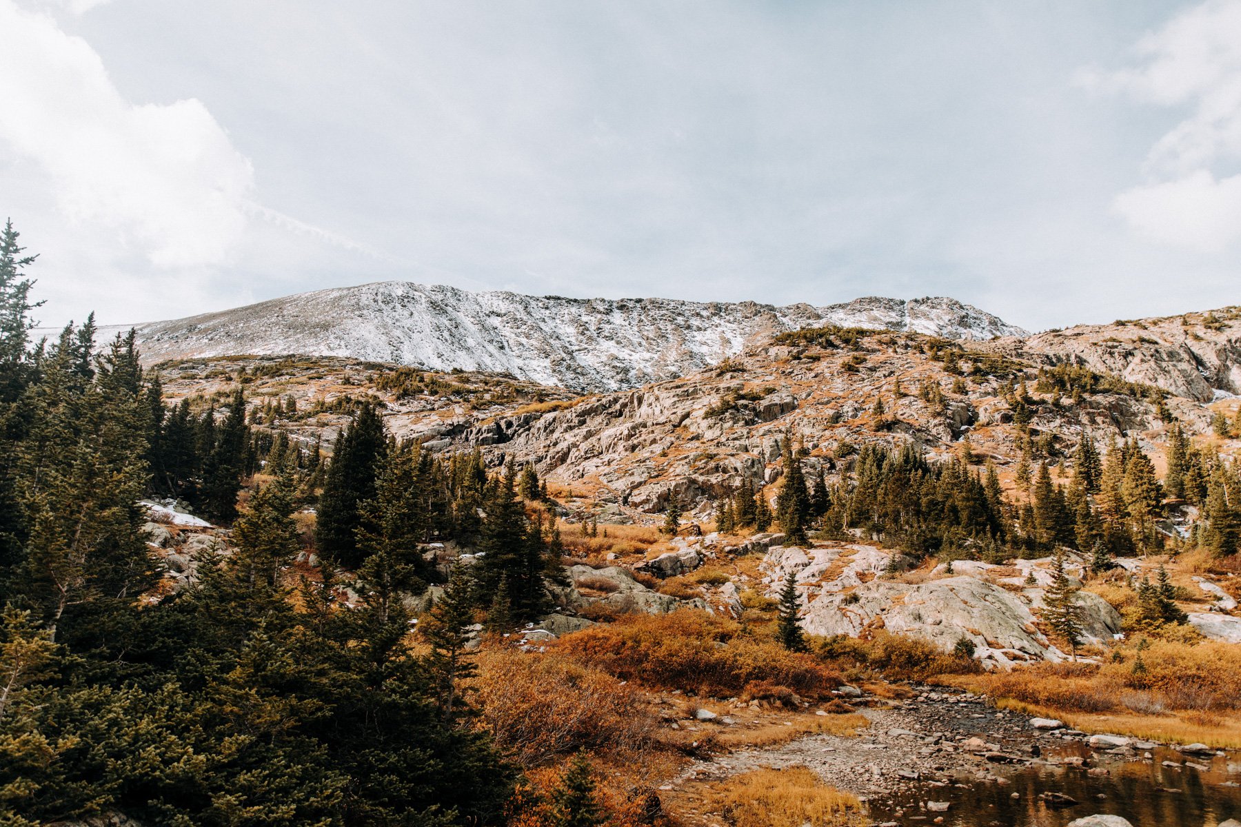
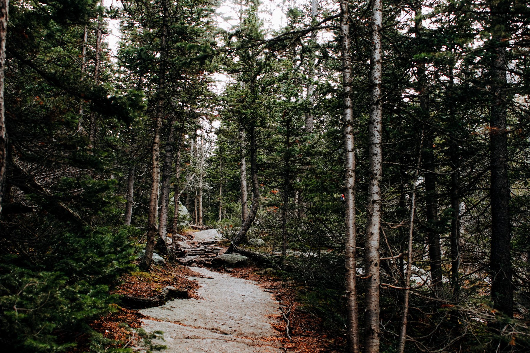
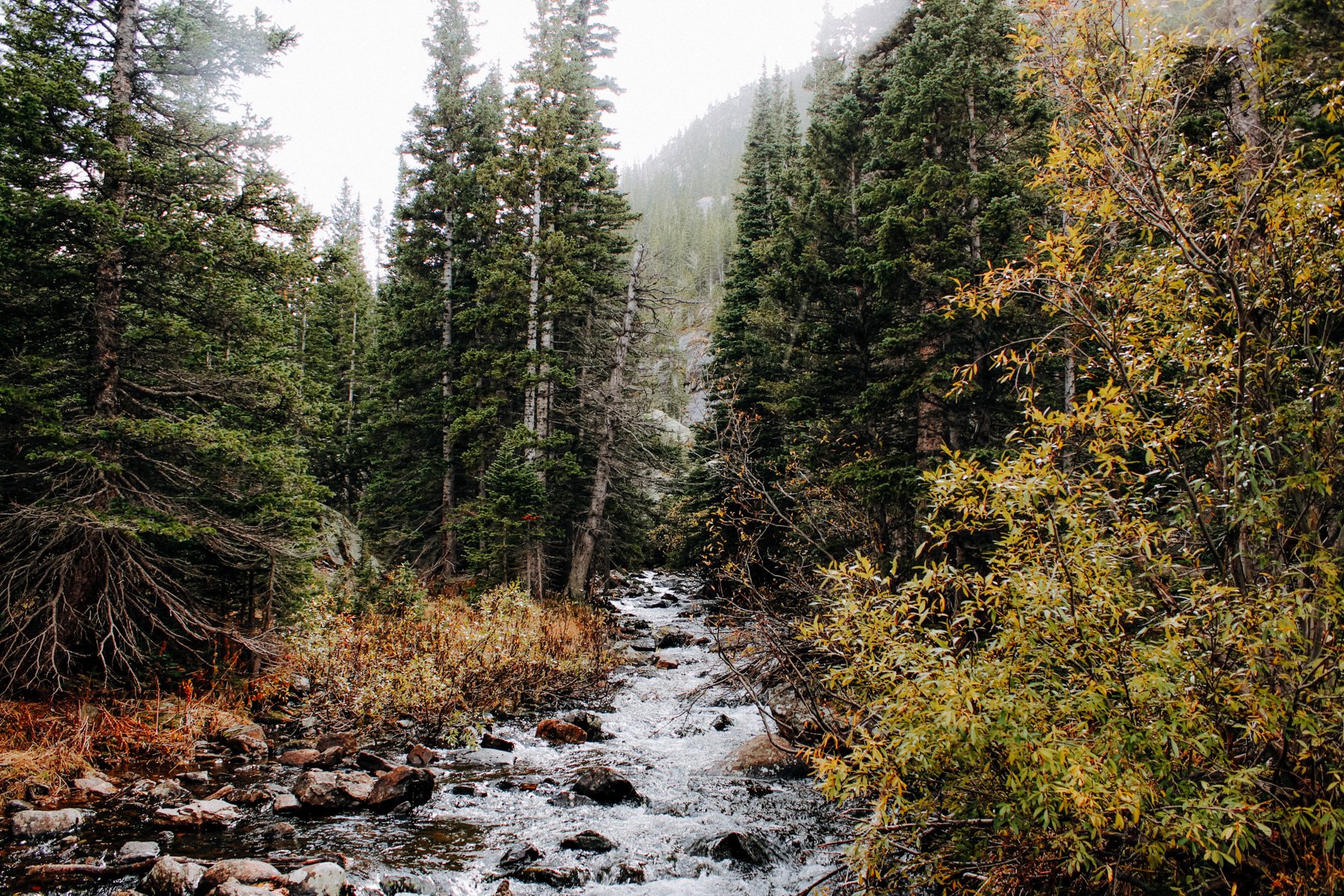
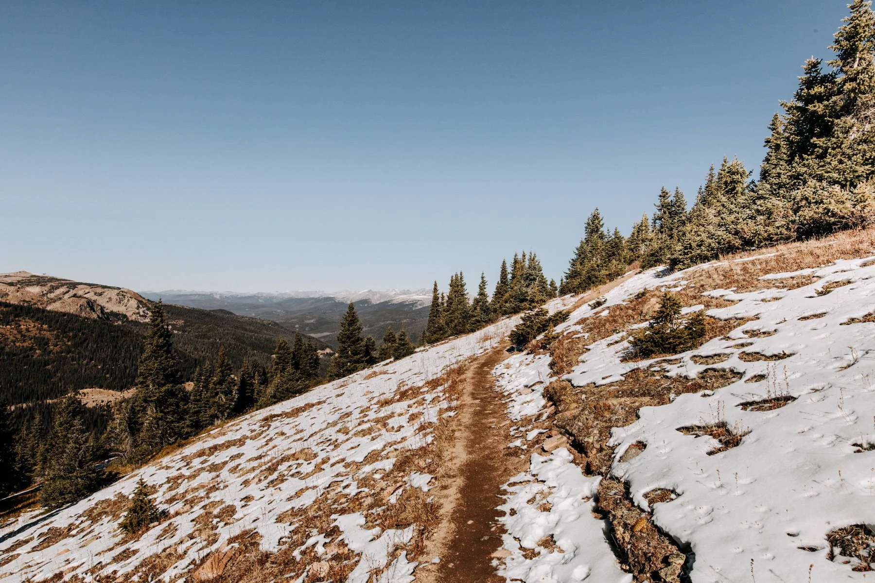
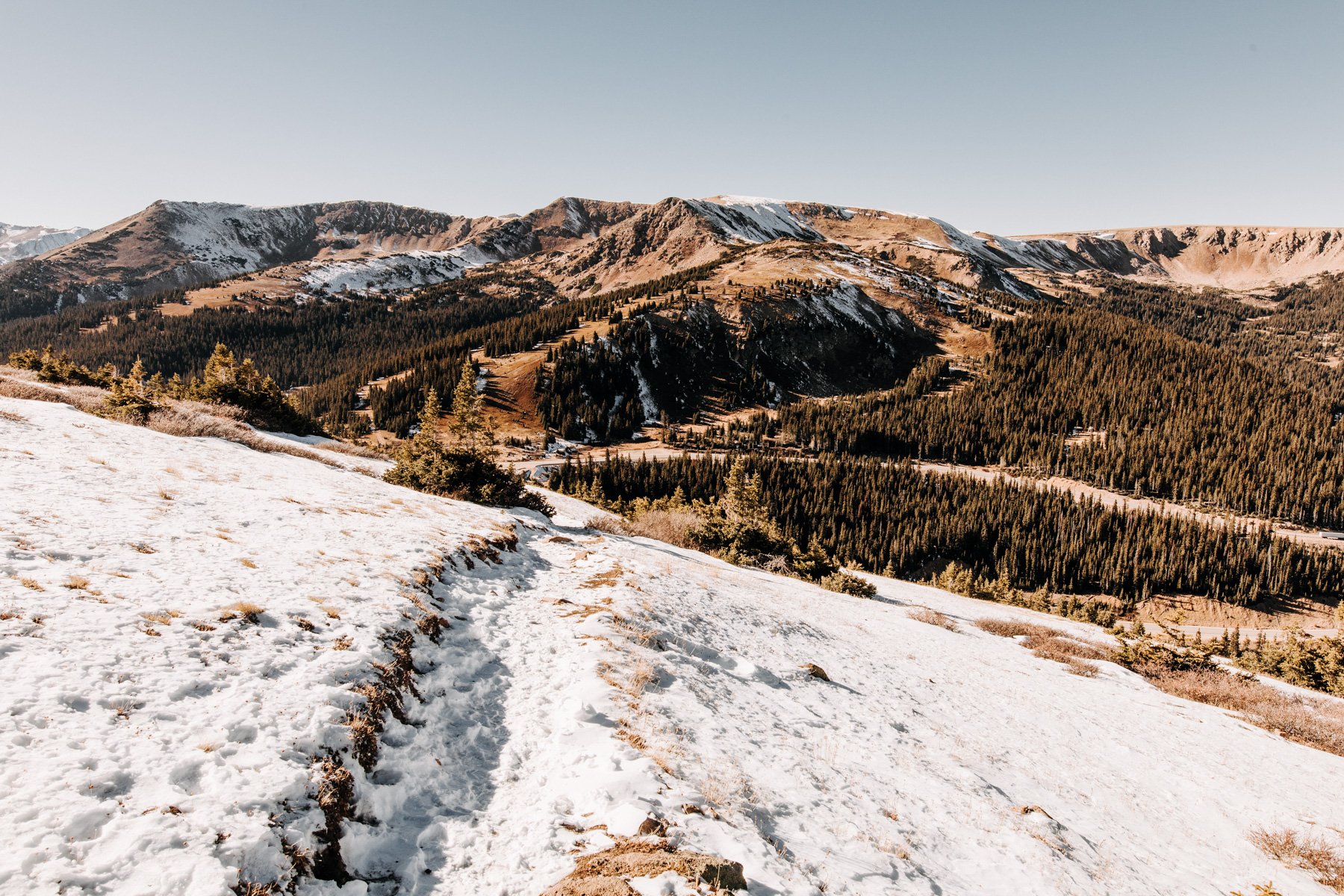
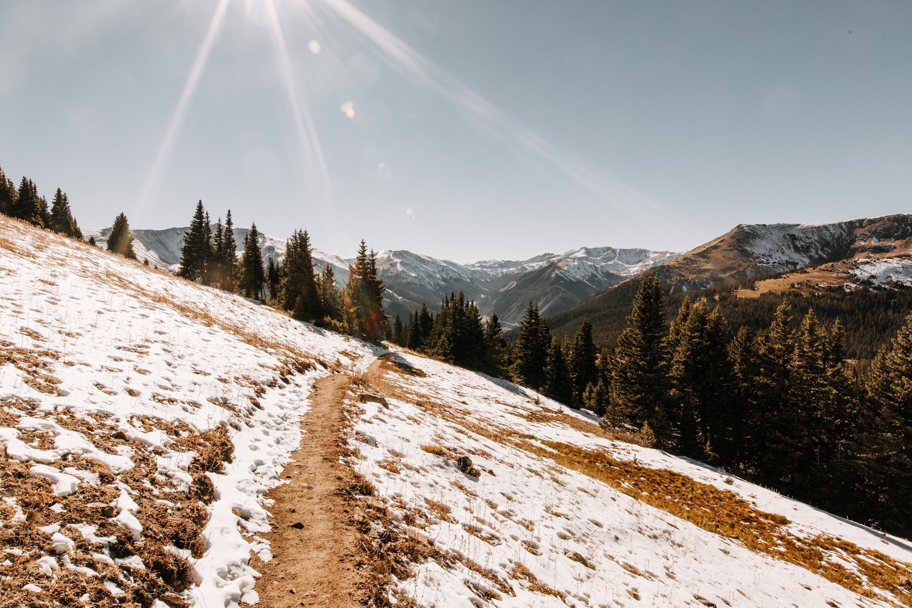
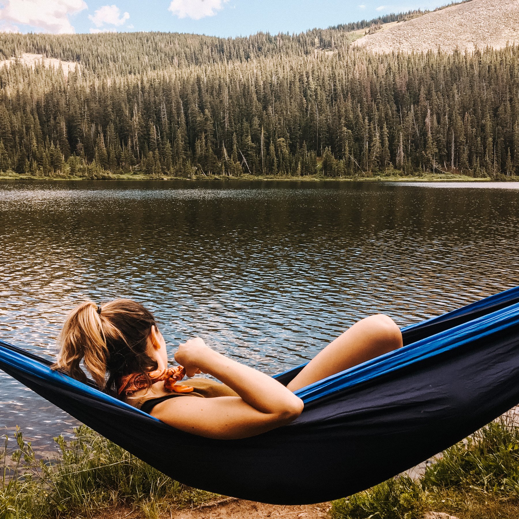
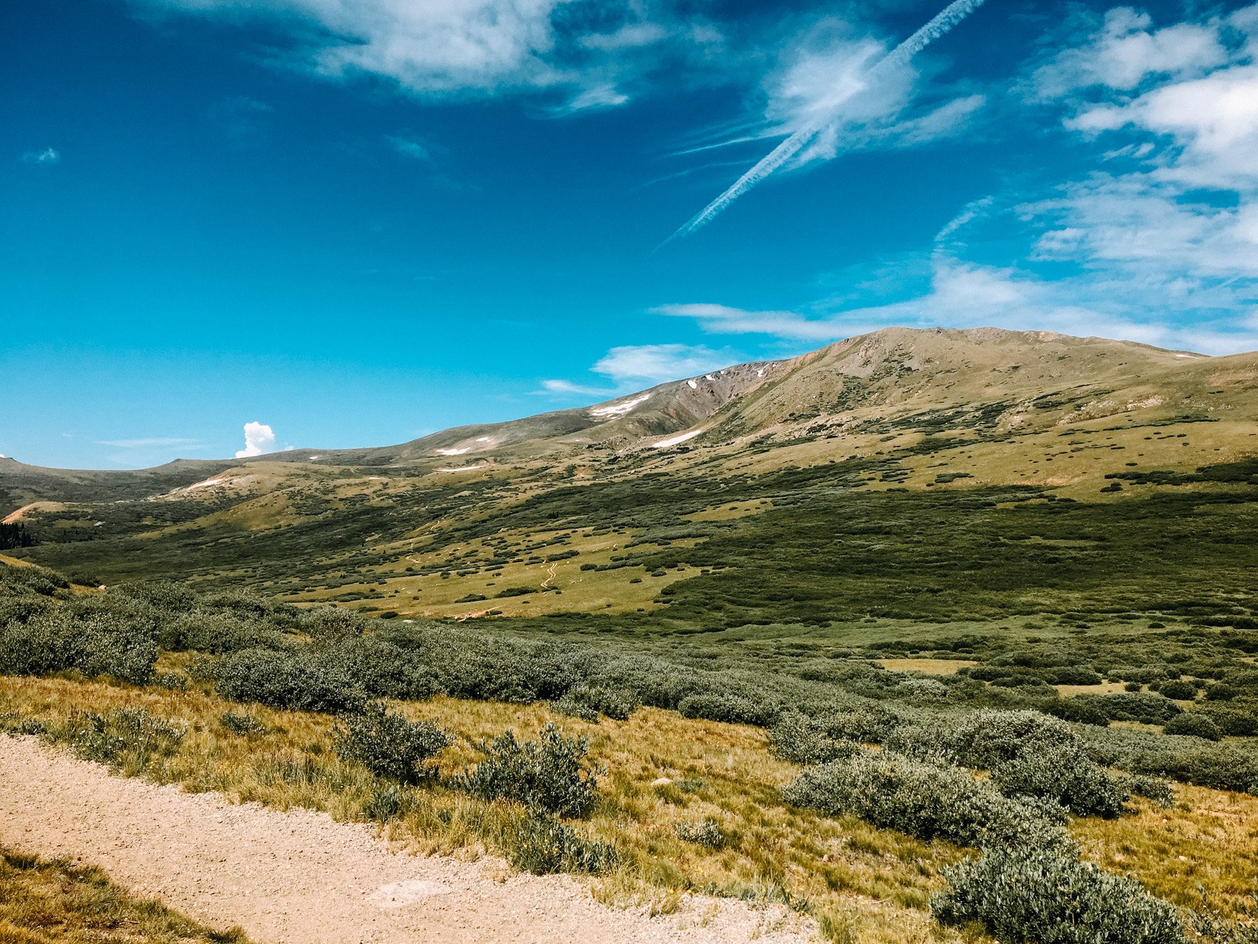
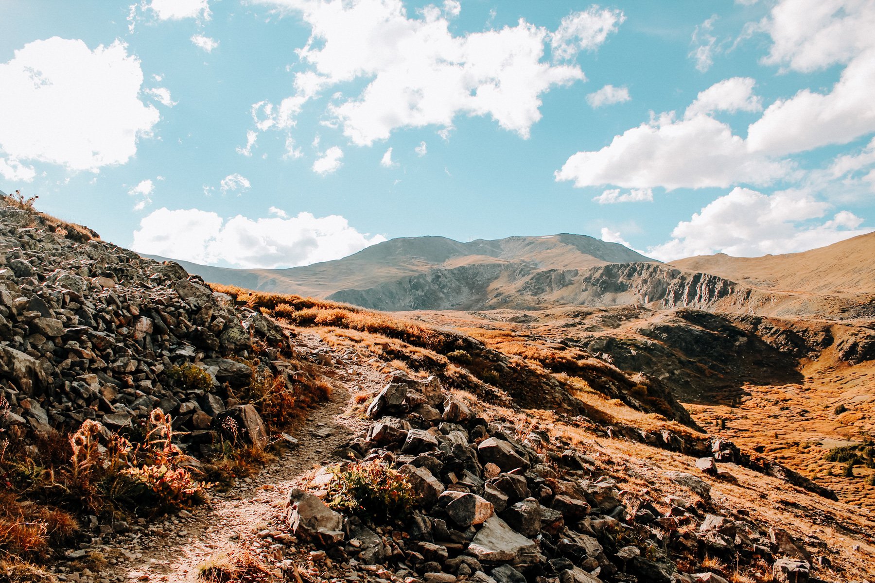
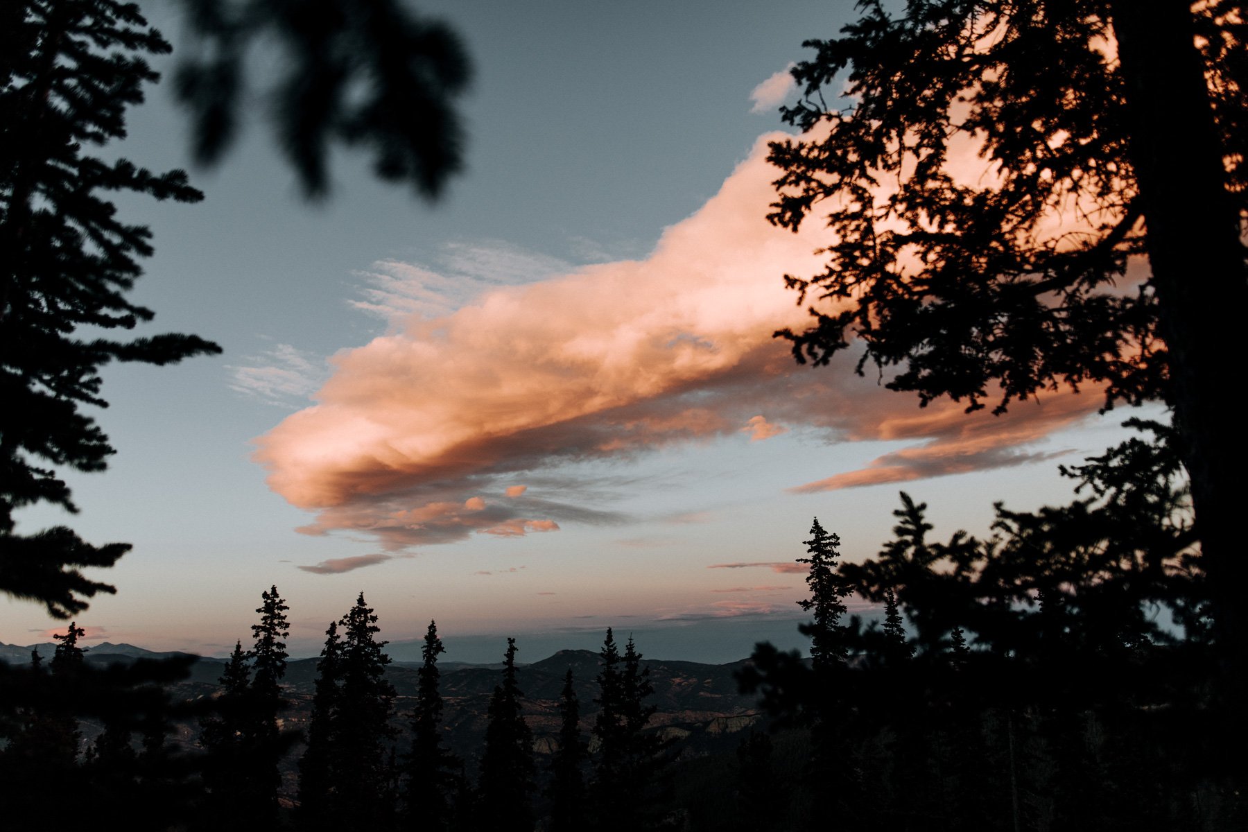
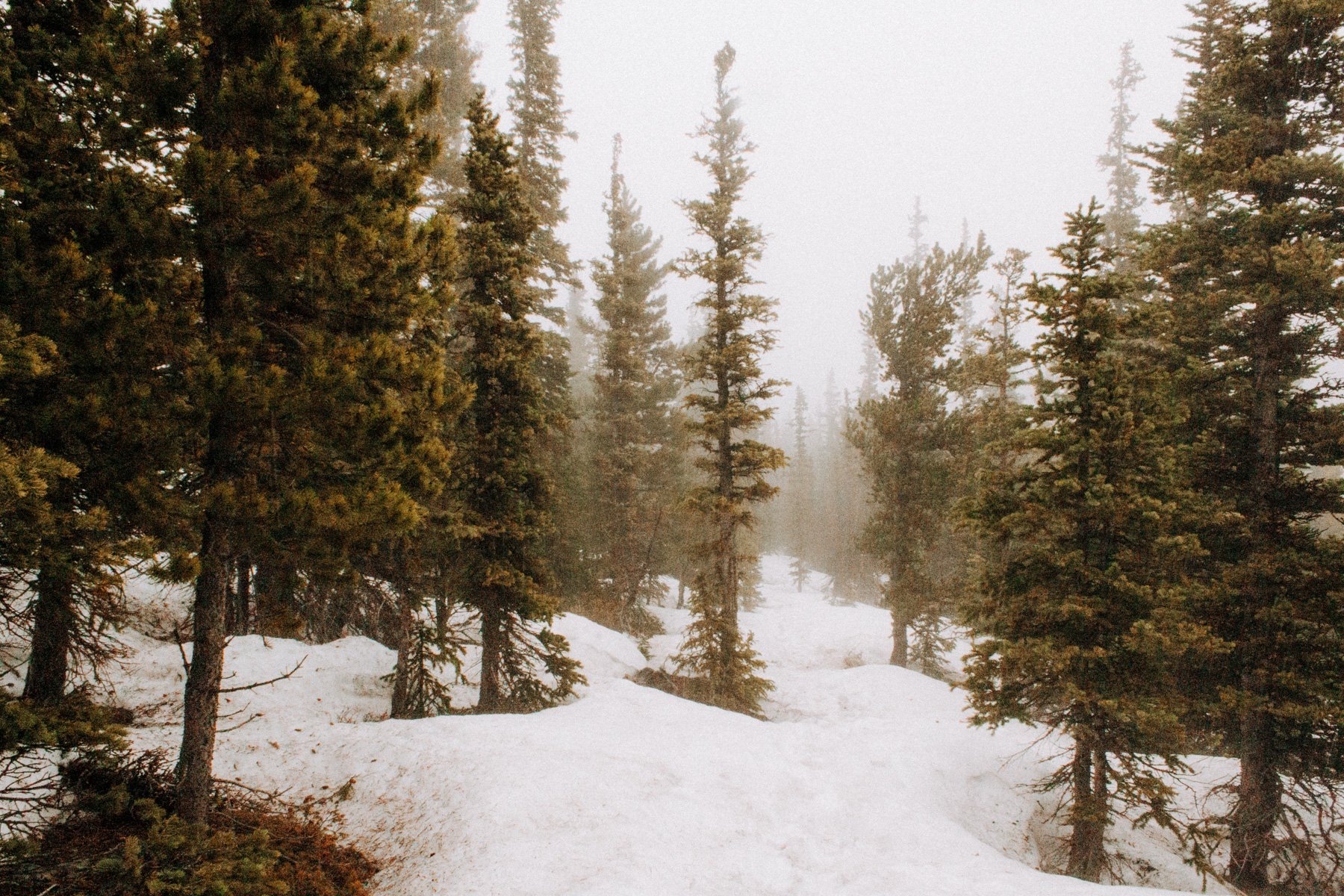
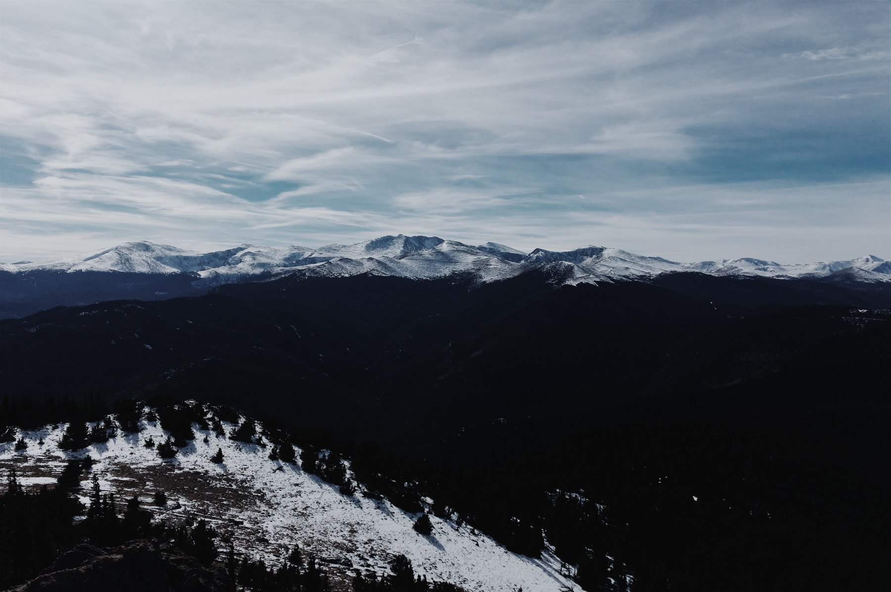
The best part about moving to Denver in my 20’s was that I didn’t know anyone when I moved, so I spent a lot of time hiking! And you’ll notice that most, if not all, of these hikes end at some sort of view. A waterfall, the top of a mountain, an alpine lake. I very much like reaching a particular destination on a hike, it helps keep me from turning around, which I do a lot. And hey, its okay to do! Just remember to always stay on trail, and to never take shortcuts as that ruins the vegetation around the trail!
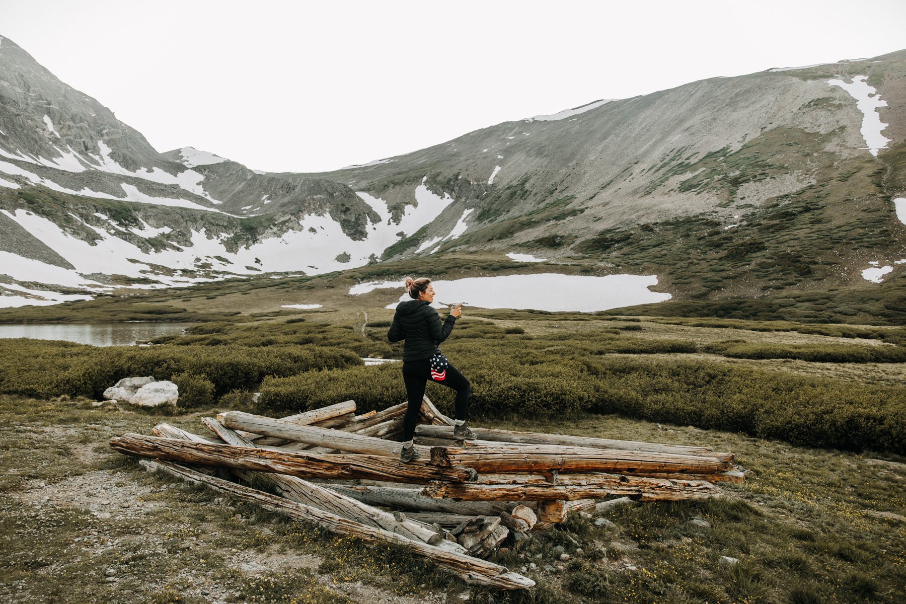
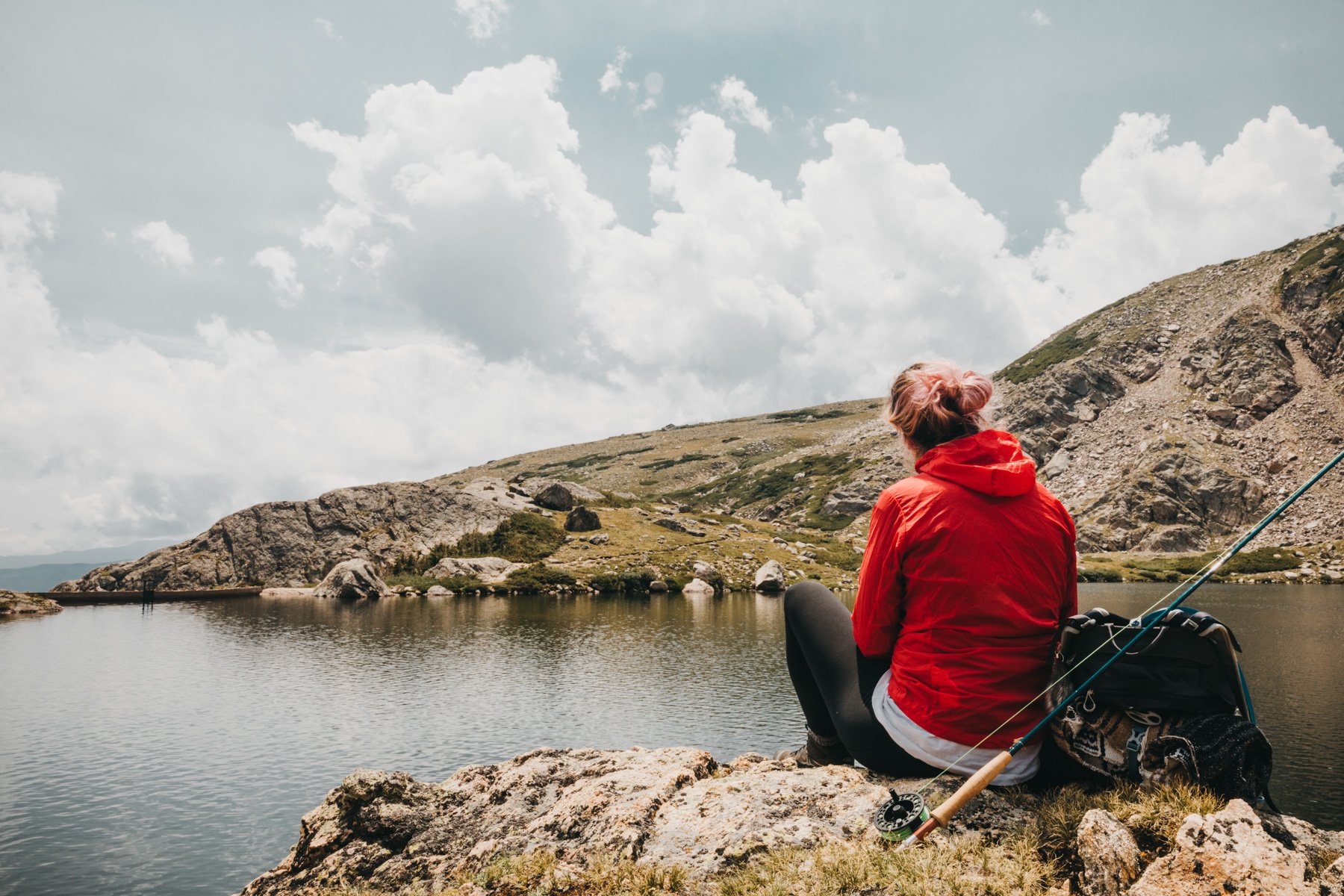
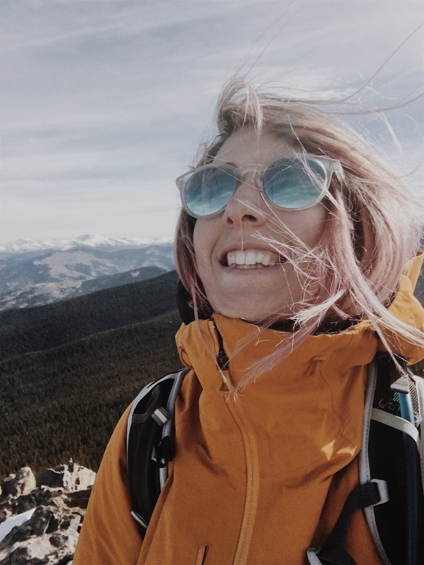
Side note because it comes up a lot: yes, these are the same kinds of spots I help couples find for elopements, vow renewals, proposals, and engagement photos. Turns out knowing where the good views are (and how to get there without suffering) comes in handy.
Before we get started, I want to share some tips for you on how to be a hiker if you feel like you don’t fit in outdoors! It can be a very intimidating place, people passing you on trail with their trekking poles and everyone seeming like they are in better shape than you. But don’t worry, I’ve got a great list on how you too can fit in!
Go outside
And thats it! Now you’re a pro, just like the rest of us! See you out there!
The 10 Best Hiking Trails Near Denver
10. Sugarloaf Mountain Trail, Roosevelt NF 1.3 miles RT 439 feet elevation gain
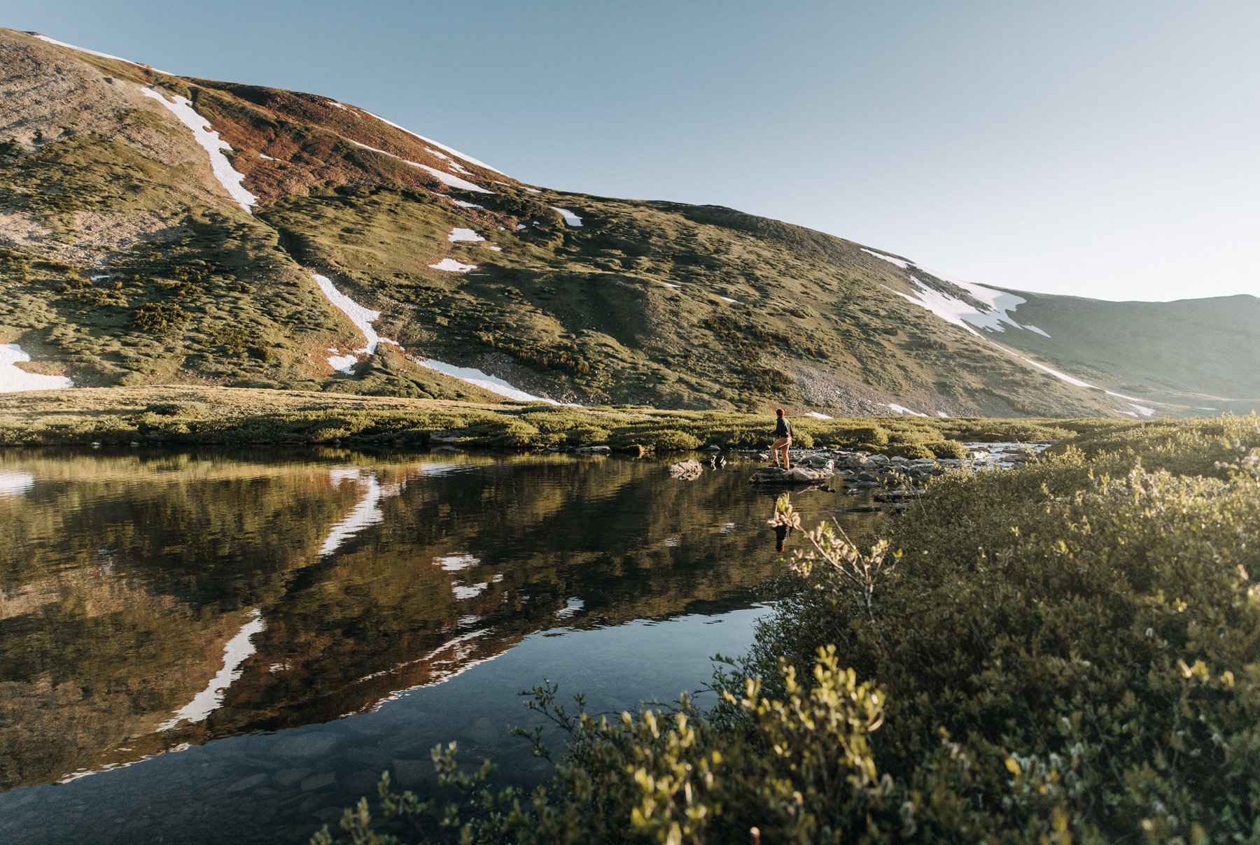
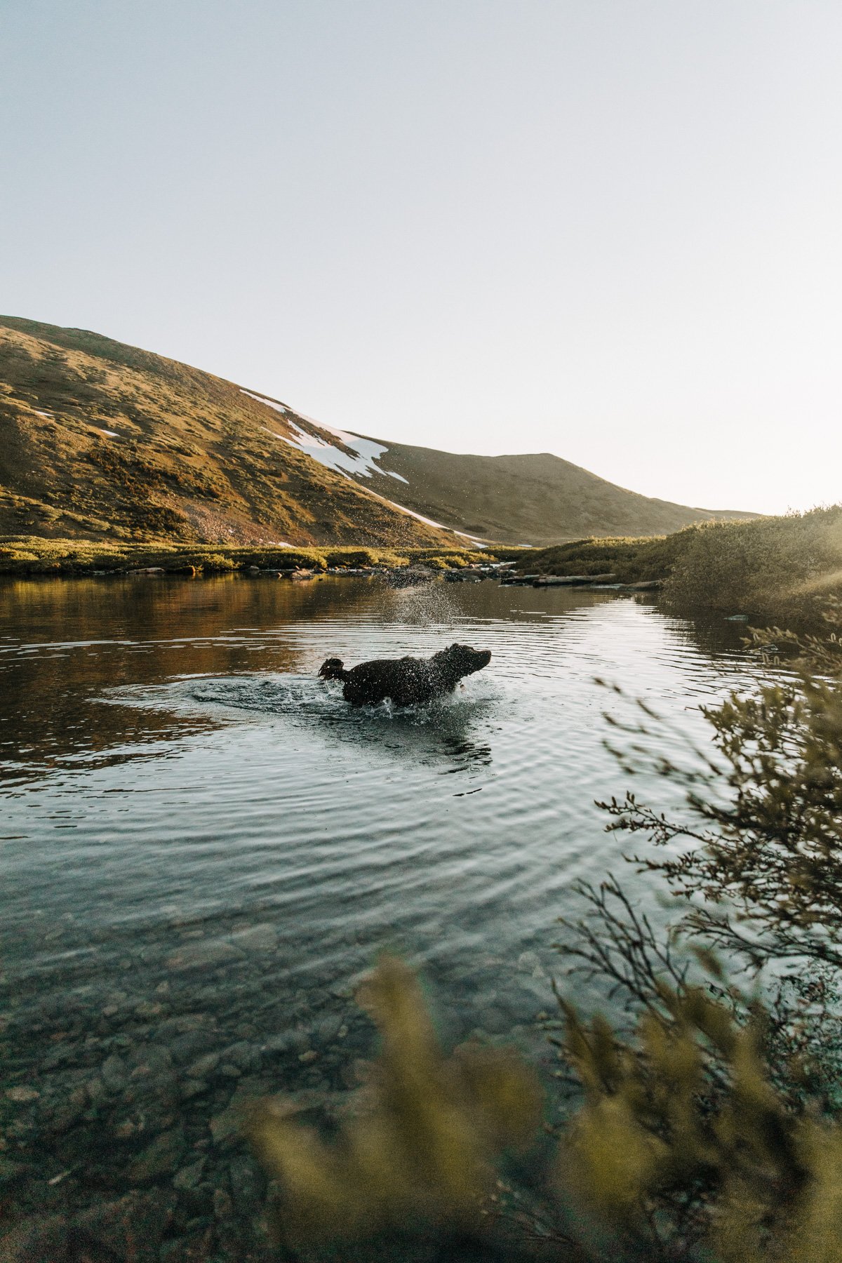
Sugarloaf Mountain is this tall little bald rocky mountain that sits about 30 minutes west of Boulder. My first time trying to find the trailhead was a nightmare, so make sure you follow AllTrails directions taking you up Sugarloaf Mountain Road and not Peak Road! The hike is short but great in every season, just beware that the top can be pretty buggy in the summer. The view from the top is 360 degrees from the Indian Peaks to the west to the Boulder plains to the East! If you’re up there, keep an eye out for my sunski sunglasses that disappeared the last time I hiked here. Also an A+ “pull over here and make it official” kind of spot at sunrise if you’re looking to elope, when Boulder is still asleep and your dog thinks this is just another walk.
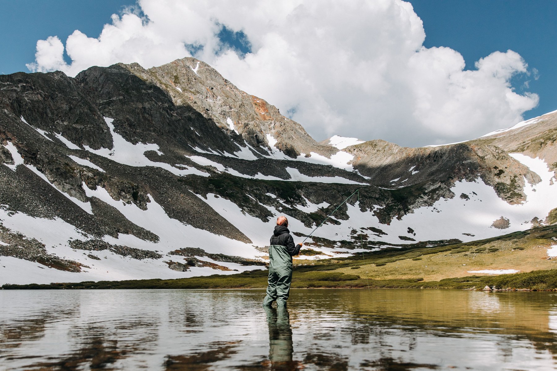
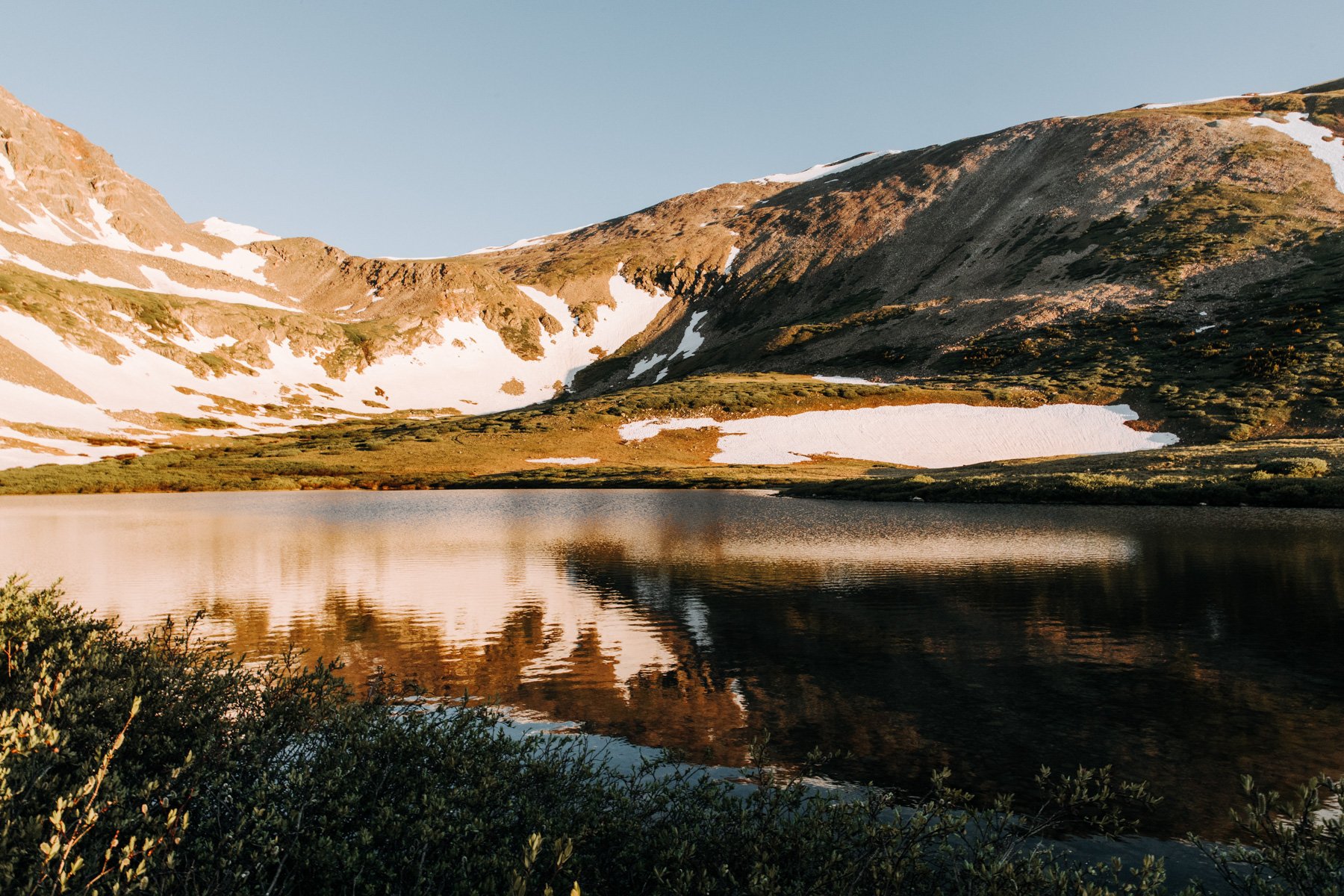
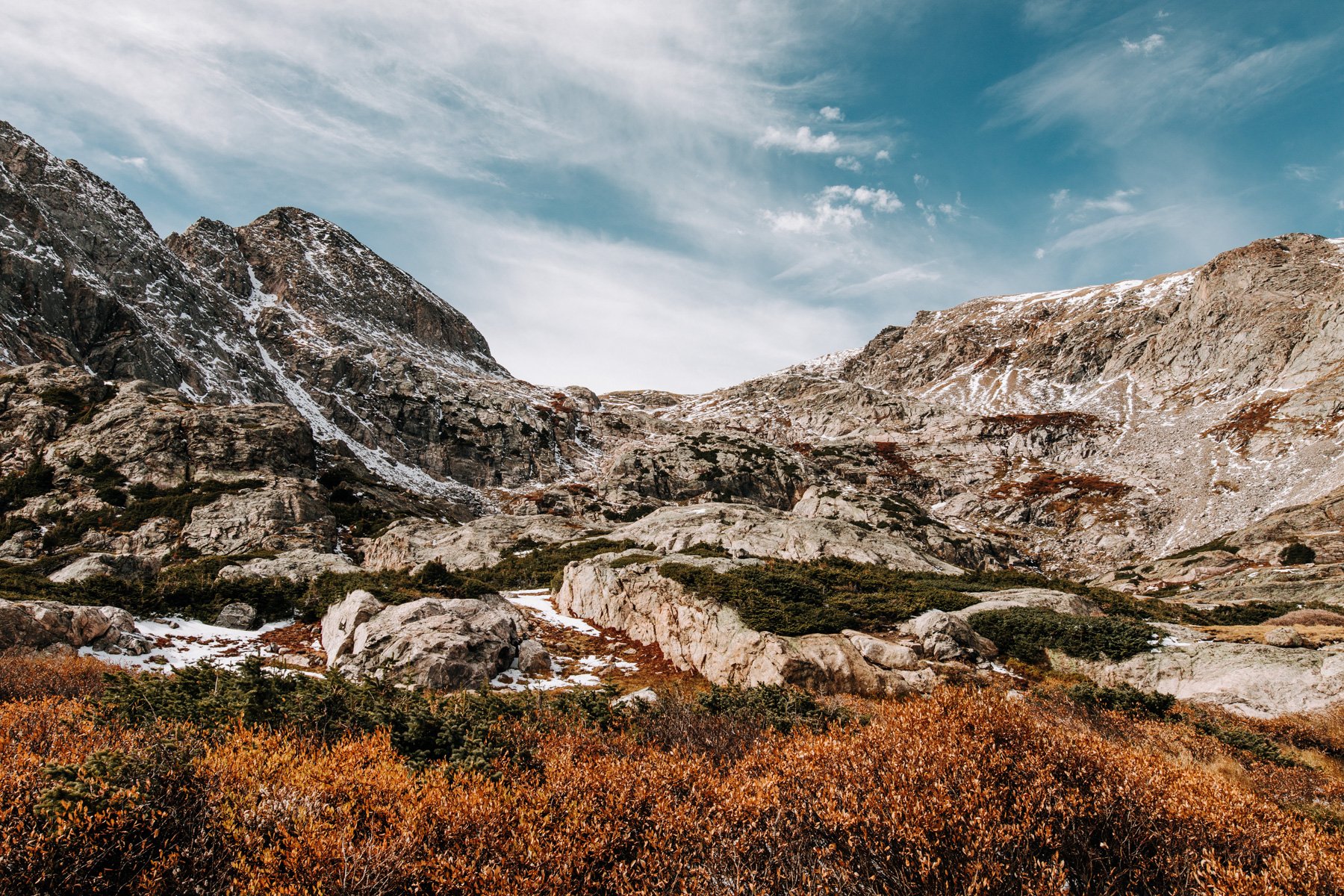
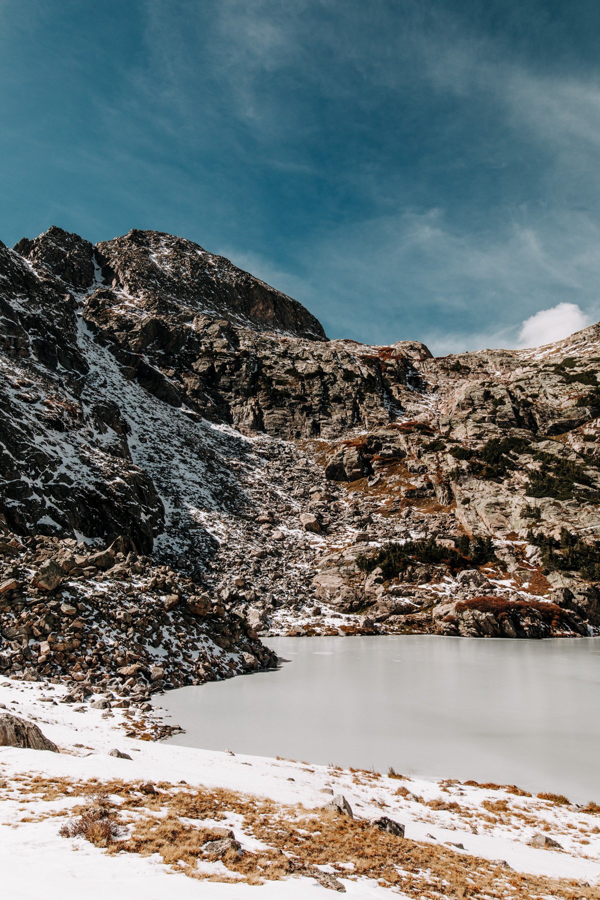
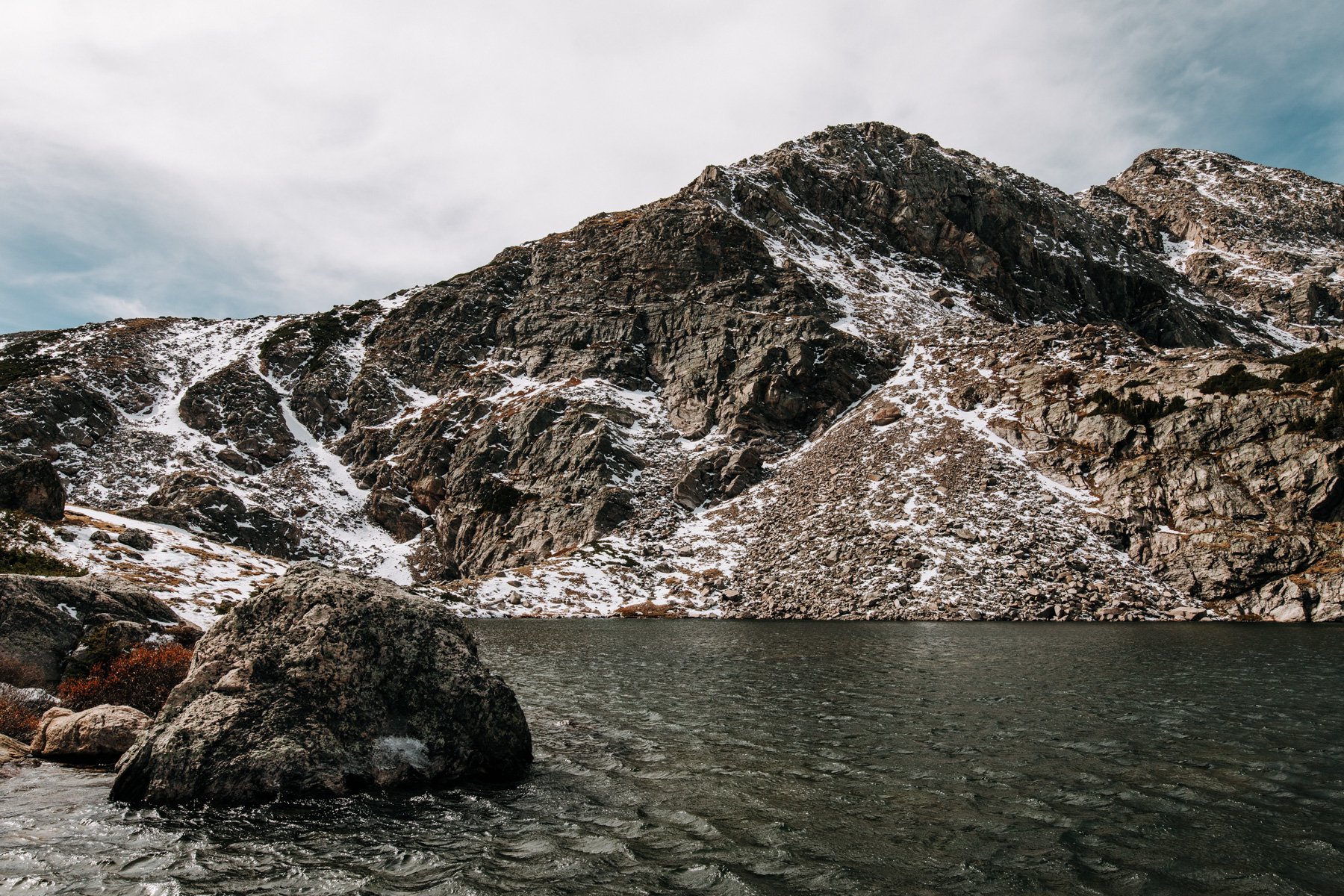
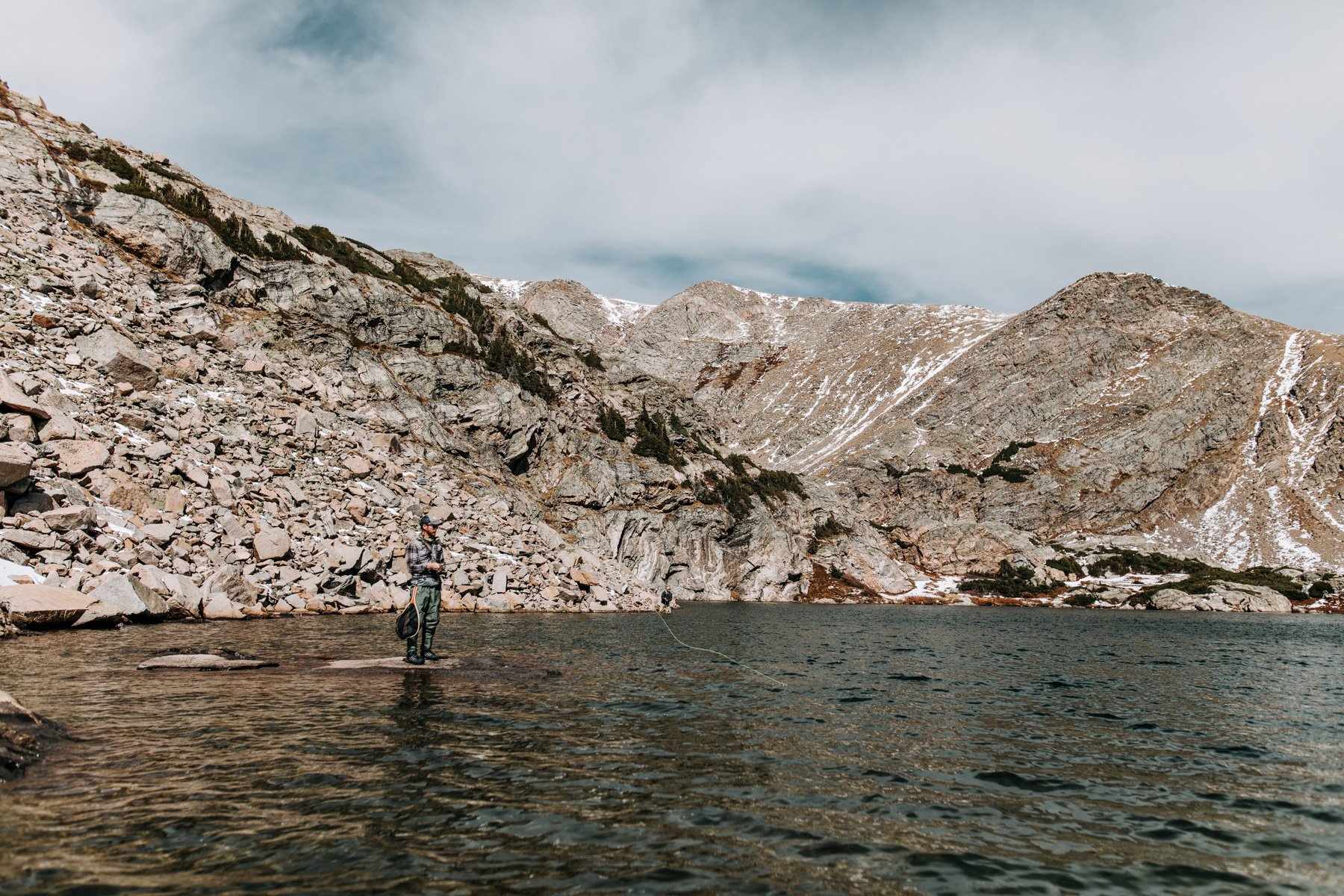
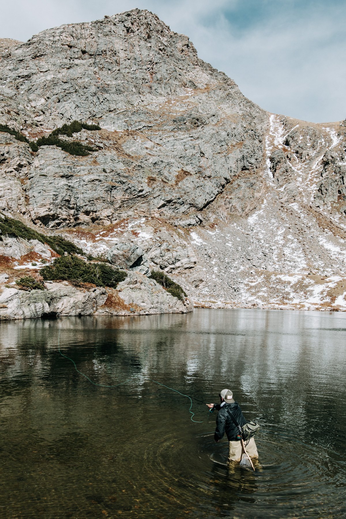
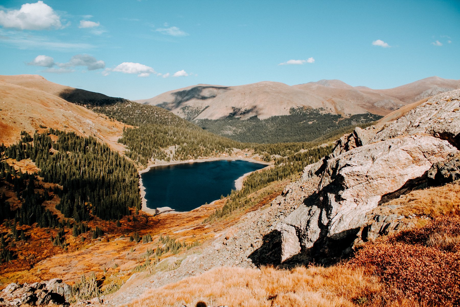
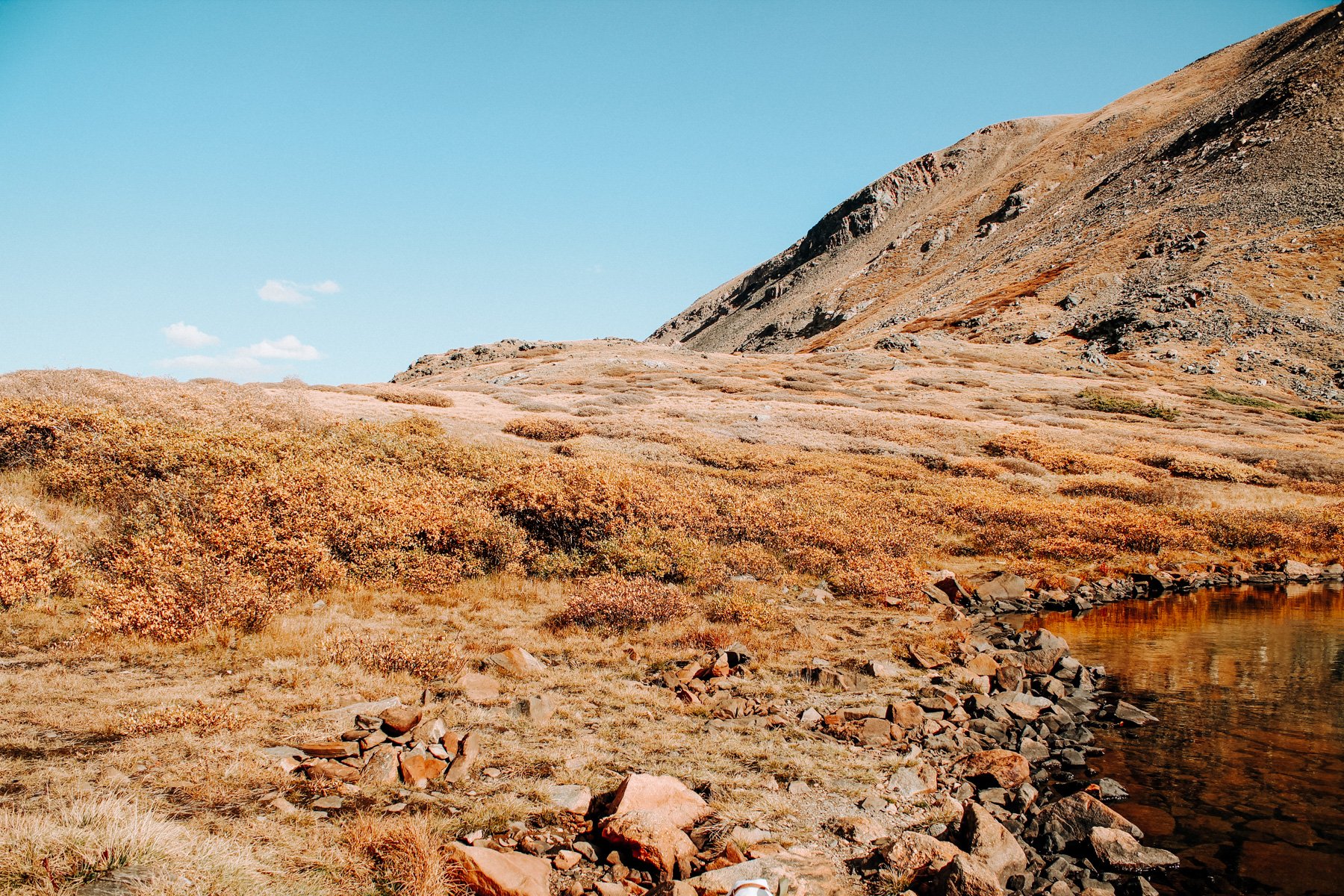
9. Lower Crystal Lake, Arapaho NF 4.6 miles RT 1,601 feet elevation gain
I’ll be honest with you that I’ve never actually hiked this trail, I’ve only ever driven up it which you can totally do if you have 4x4. However, it is also a great hike! It takes you to the lower of the two Crystal Lakes (you can keep hiking to explore the upper lake, just south of Peak 10). This is a great spot to backpack as there is hardly anyone else ever up there, and if you’re up there for fourth of July you can see people set fireworks off of Peak 10, which is cool!
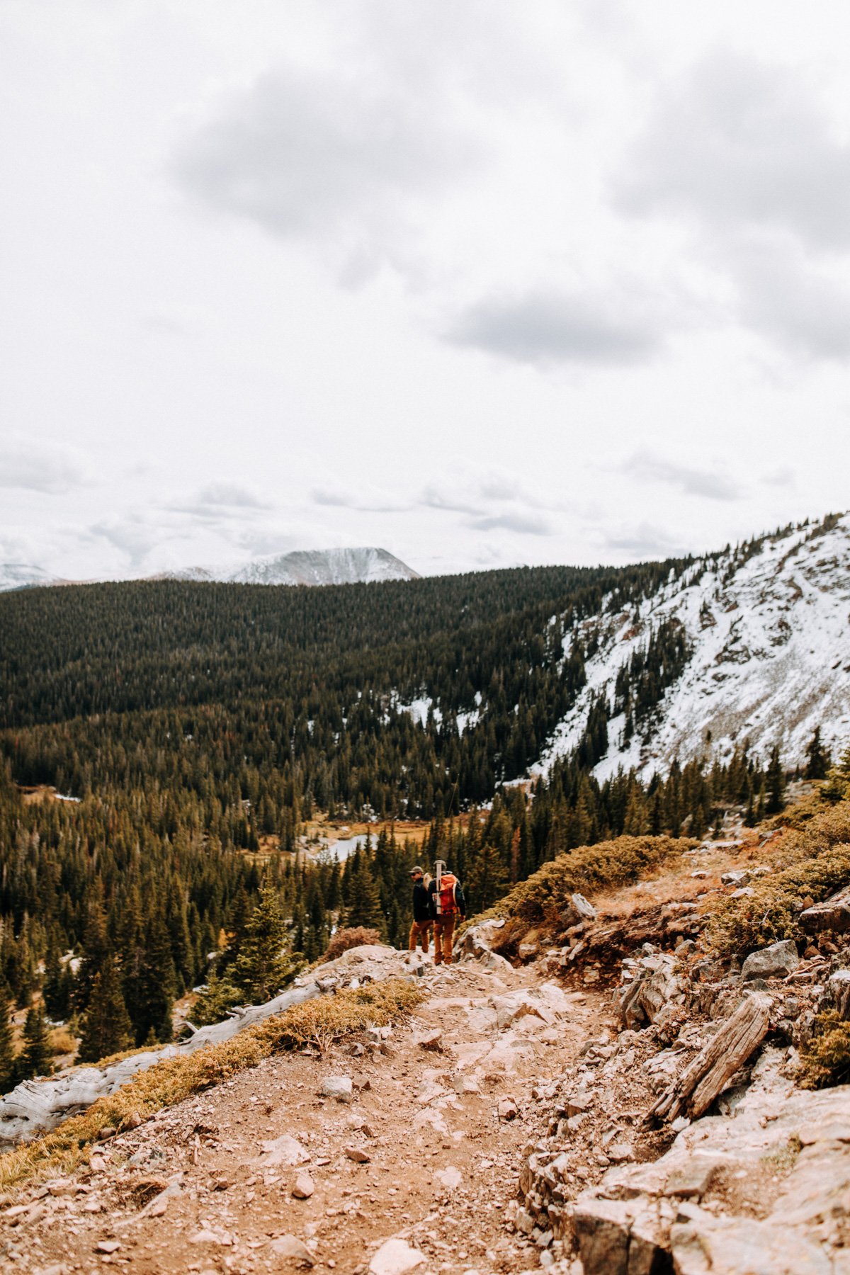
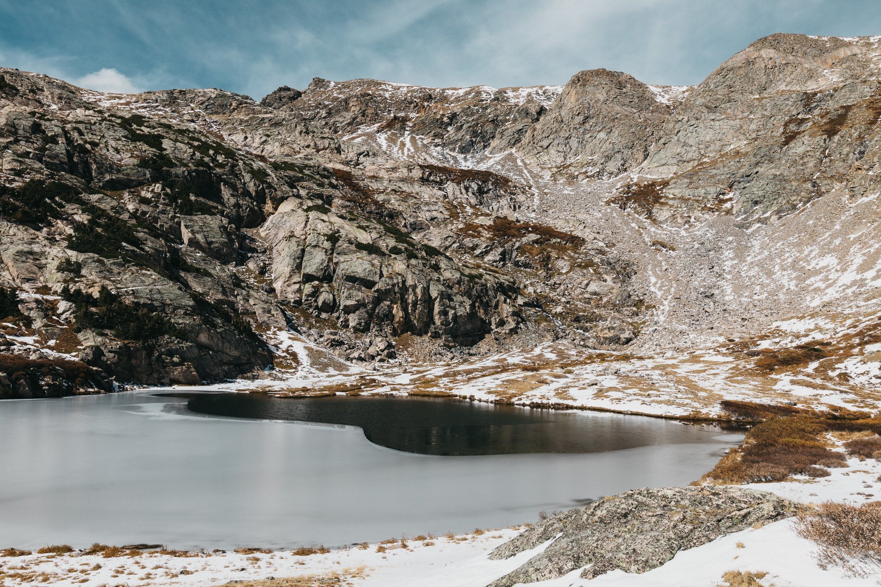
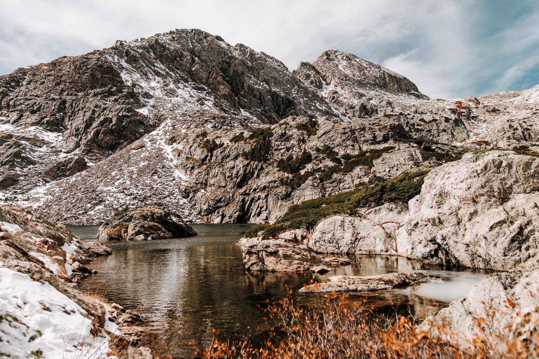
8. Mohawk Lakes, Arapaho NF 5.6 to 8.6 miles RT 1,486 to 2,129 feet elevation gain
While the trailhead for this place can kind of be “what the f” because it is pretty busy, there are no less than 5 trails that start from here (including the above mentioned Crystal Lake). Mohawk Lakes is a great moderate trail that has a steady gain of elevation. The first half of it takes you through alpine forest before you start seeing the elevation start to change. Eventually you’ll cross over an old jeep road and, while youre almost there, now you’ve gotta put a little more effort in! What follows is my favorite and least favorite set of switch backs that steadidly climb up the side of the gulch. Its not a bad place to stop and catch your breath every 5 minutes because you get a sweeping view of the valley below you. There are 5 lakes total, the 4.6 mile trip being the one to the first lower Mohawk lake, and the 8.6 being to the upper lake!
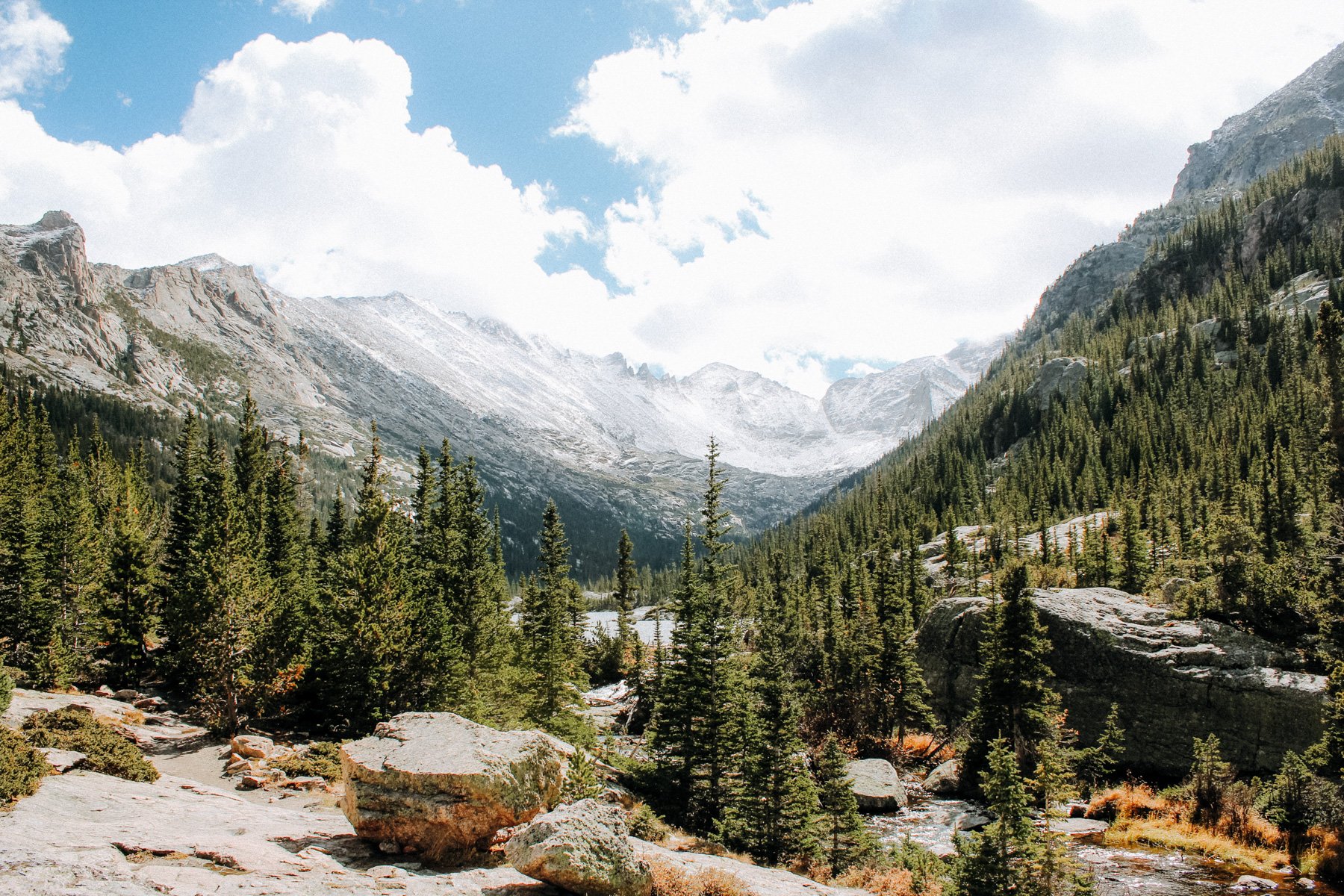
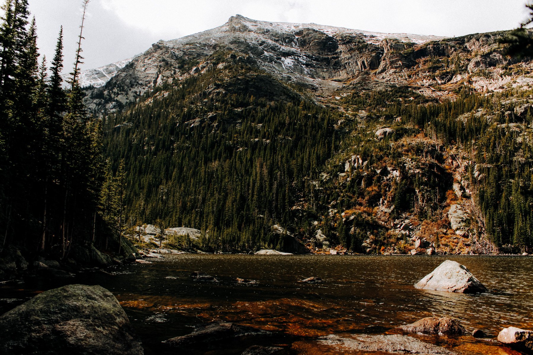
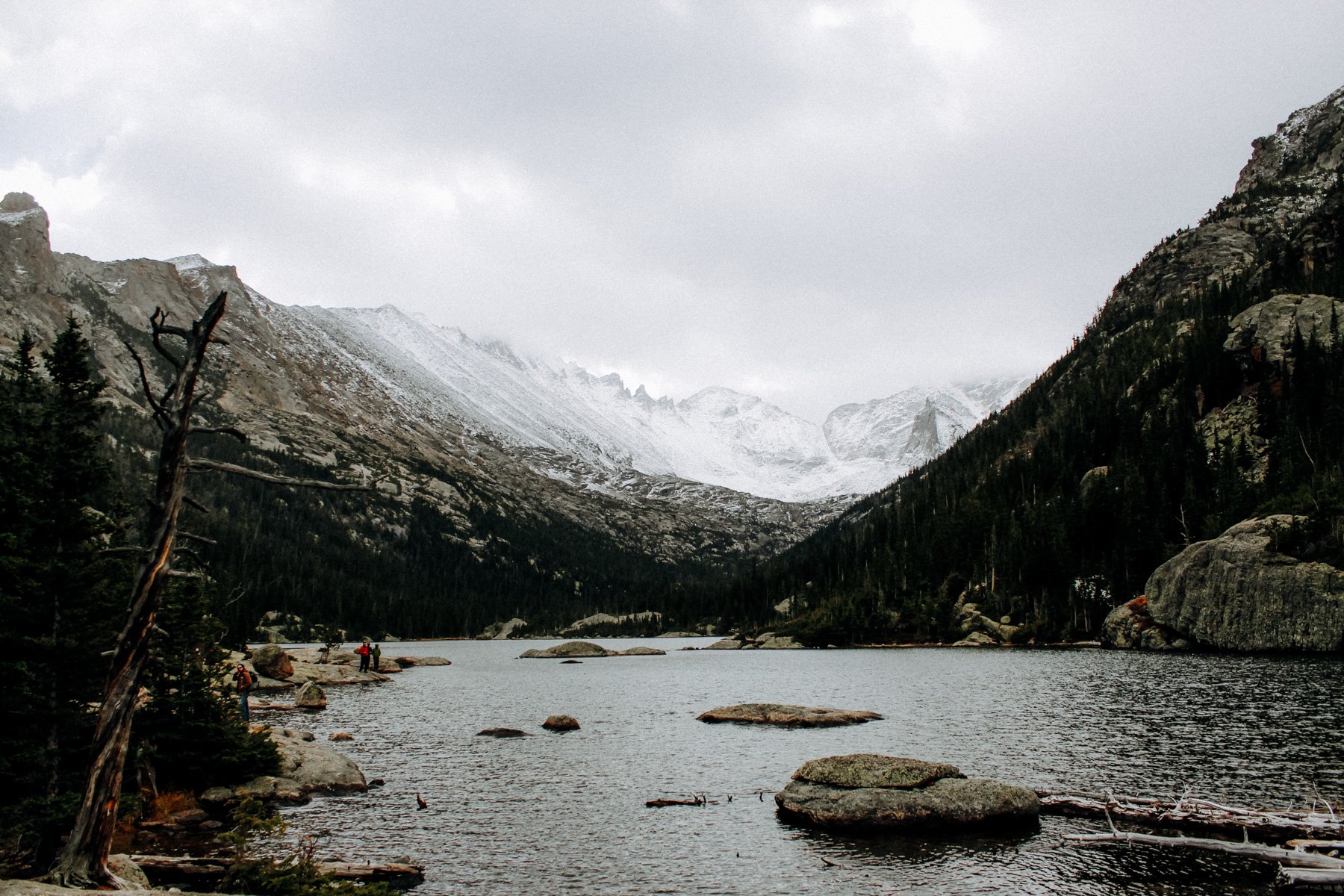
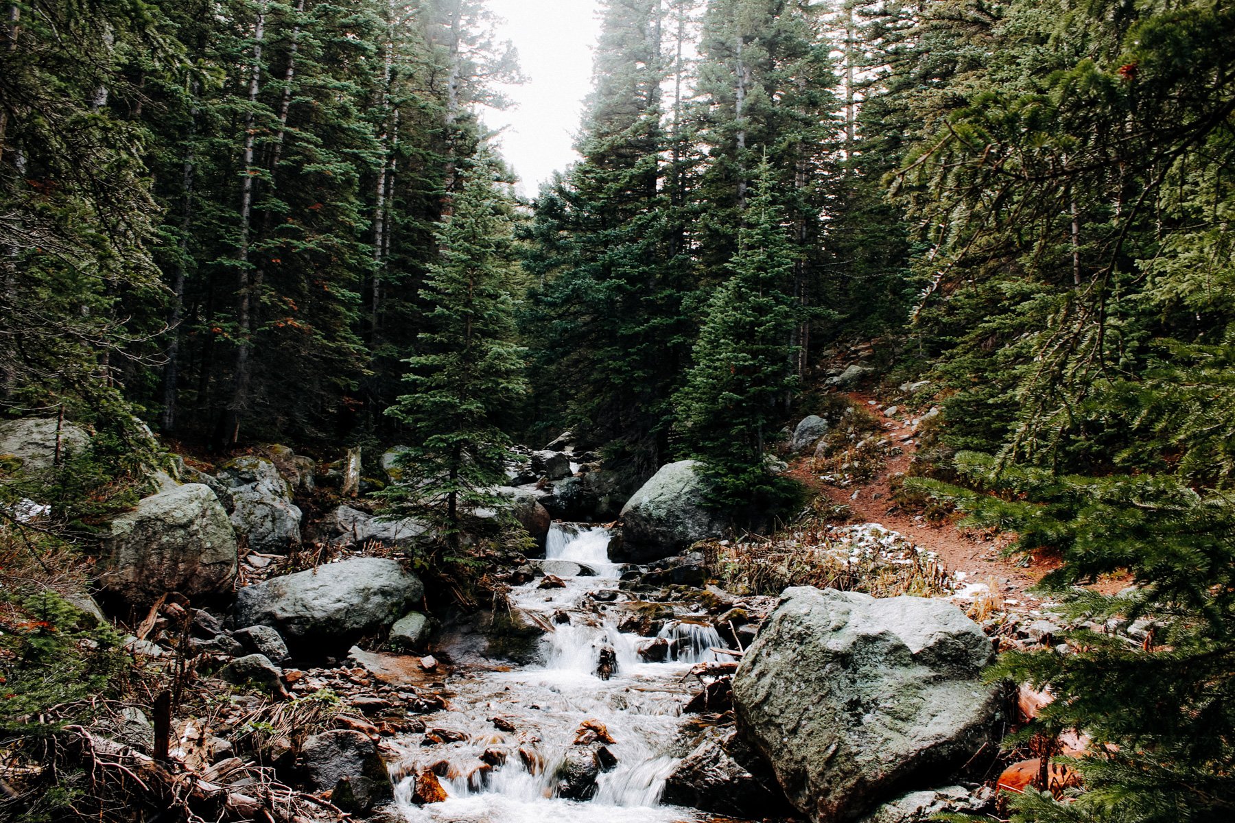
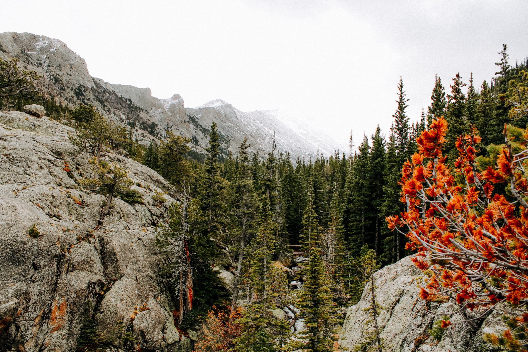
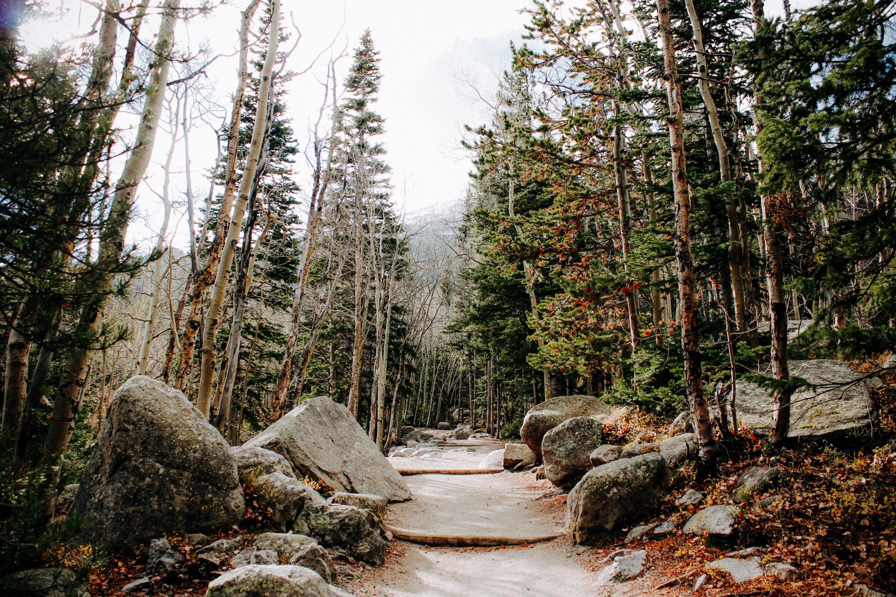
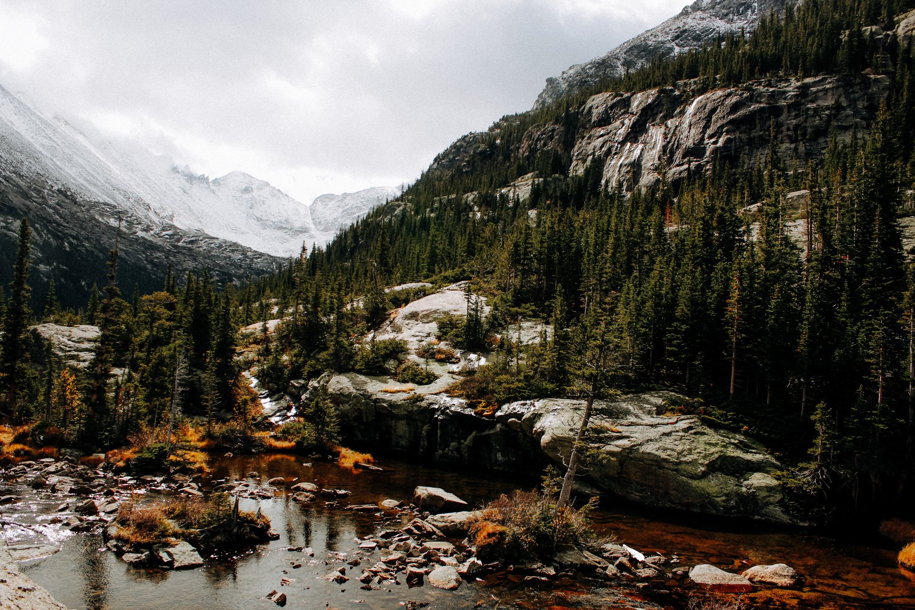
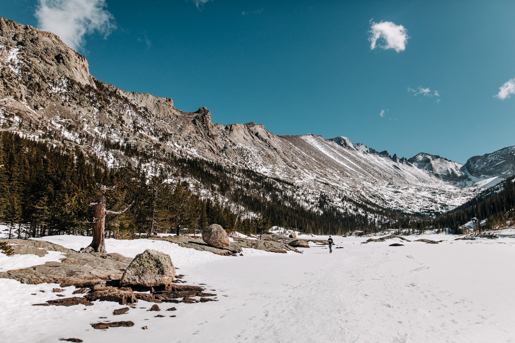
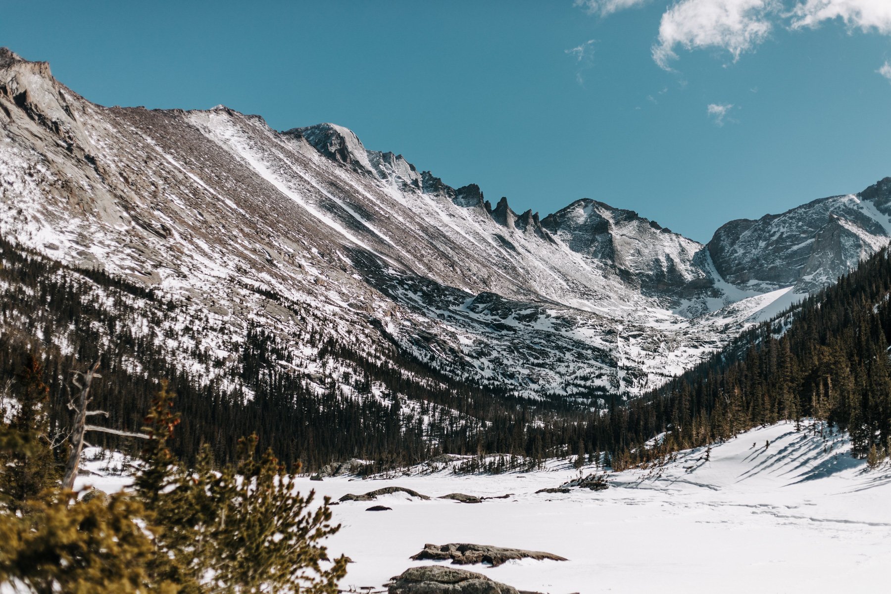
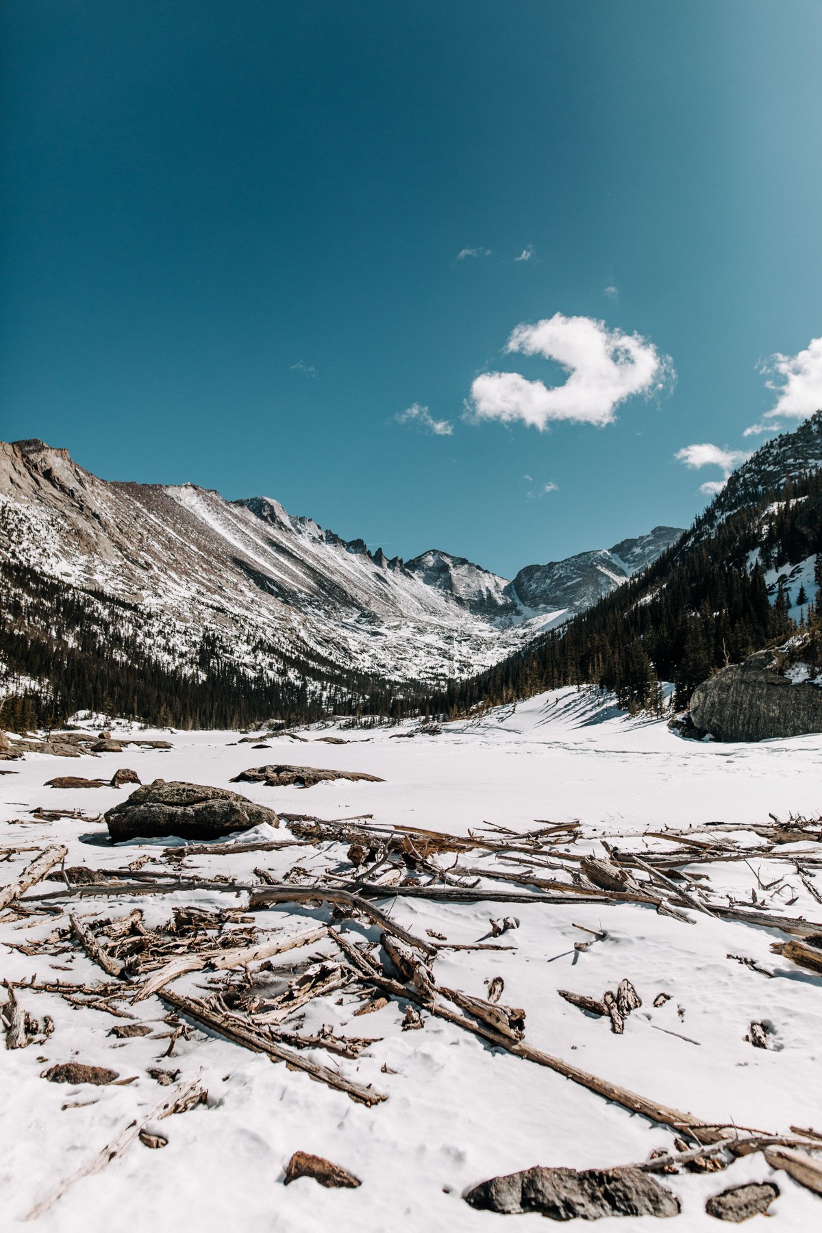
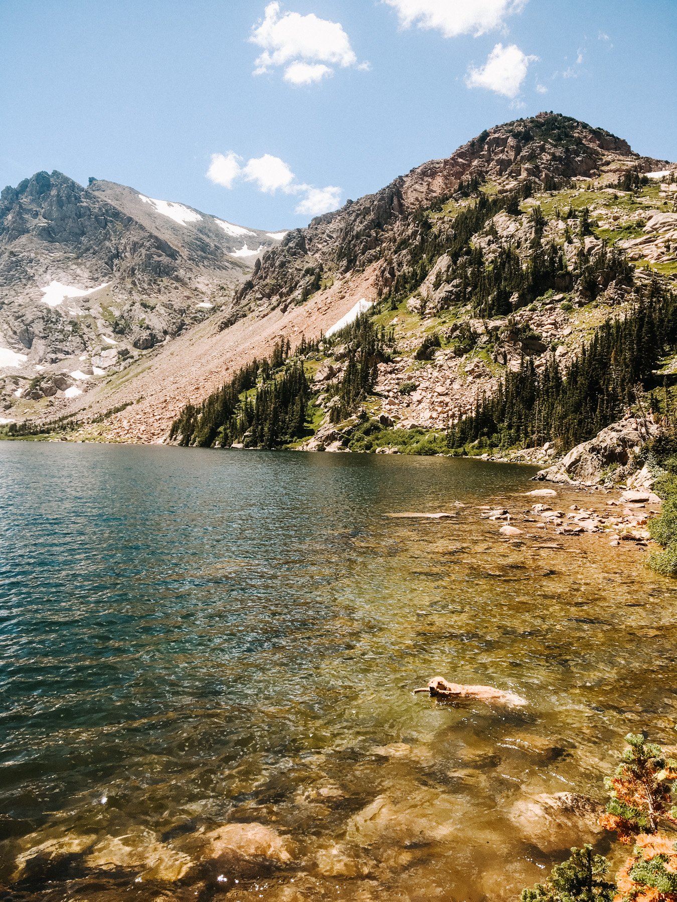
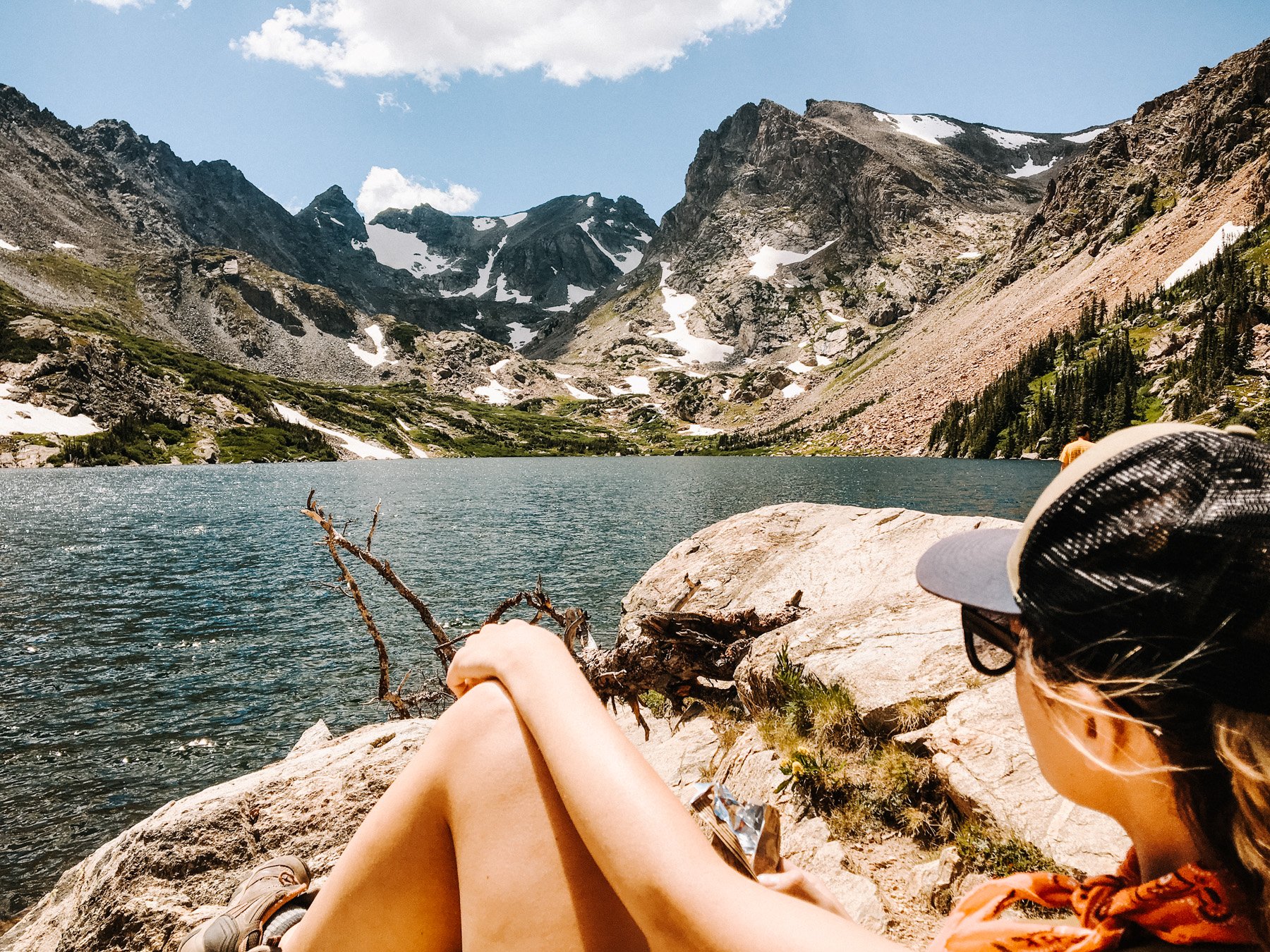
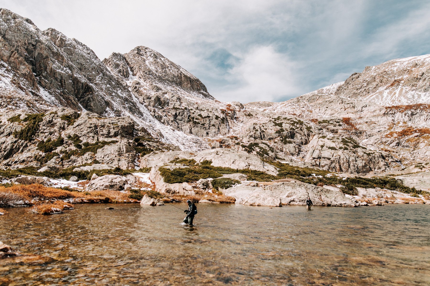
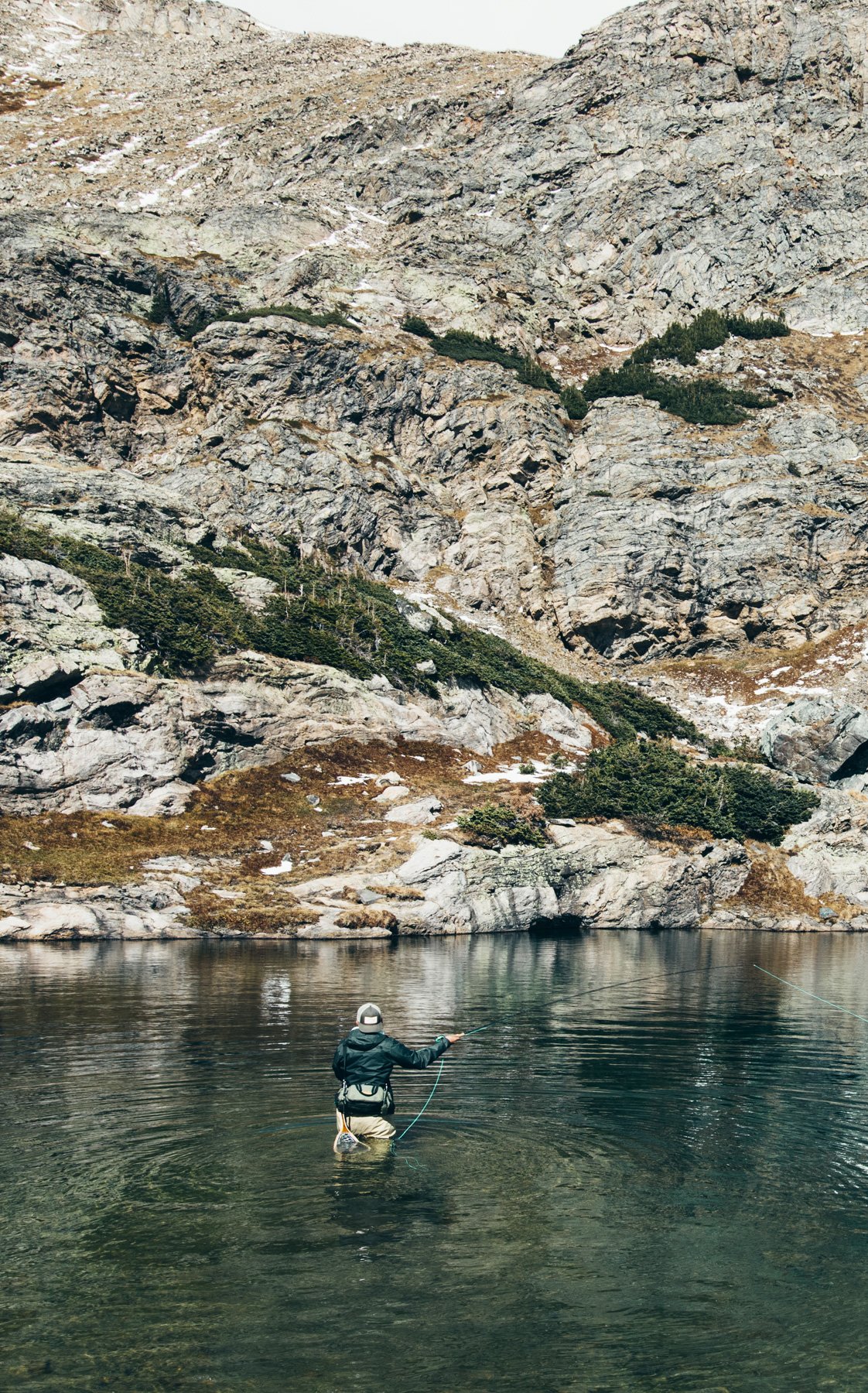
7. Mills Lake, Rocky Mountain National Park 4.9 miles RT 836 feet elevation gain
That trail for Mills lake starts at the Glacier Gorge trailhead, just before the Bear Lake Trailhead in RMNP. I’m a firm believer in that RMNP should be explored in the off season. It gets quite crowded so if its winter, spring, or late fall thats a great time to go. Even better, go when the weather is overcast and gloomy (but not stormy) and you’ll have the most moody amazing hike of your life. Every trail cut in Rocky Mountain is exceptional, and Mills Lake trail is no exception. You start steadidly climbing through the forest, crossing over bridges and passing by Alberta Falls. If its crowded, a lot of it thins out after Alberta as most people turn around there. The climb is gradual enough that the hike isn’t very strenuous so once you get to Mills Lake you can continue 2.5 miles to Jewel Lake and Black Lake. Either way, the views of the surrounding Mummy Range as you hike below the peaks is breathtaking in any season. Just beware of snowpack in winter and spring!
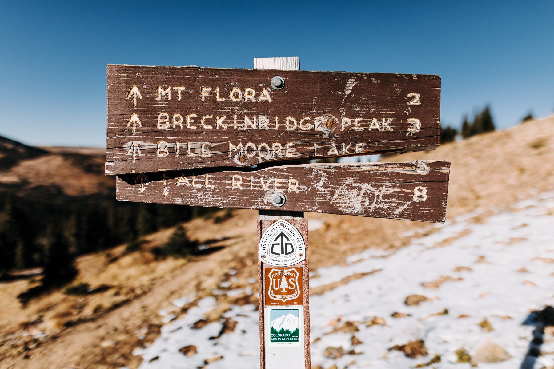
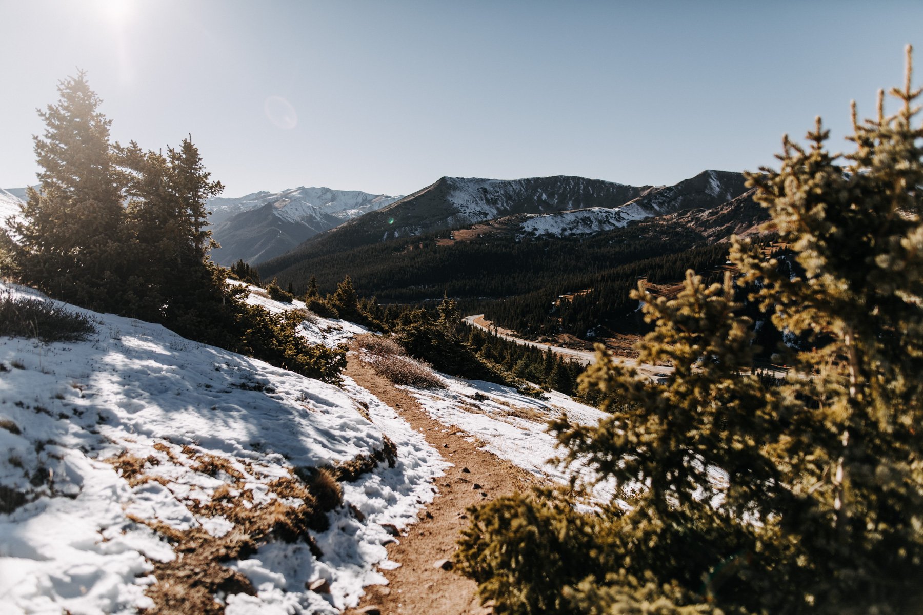
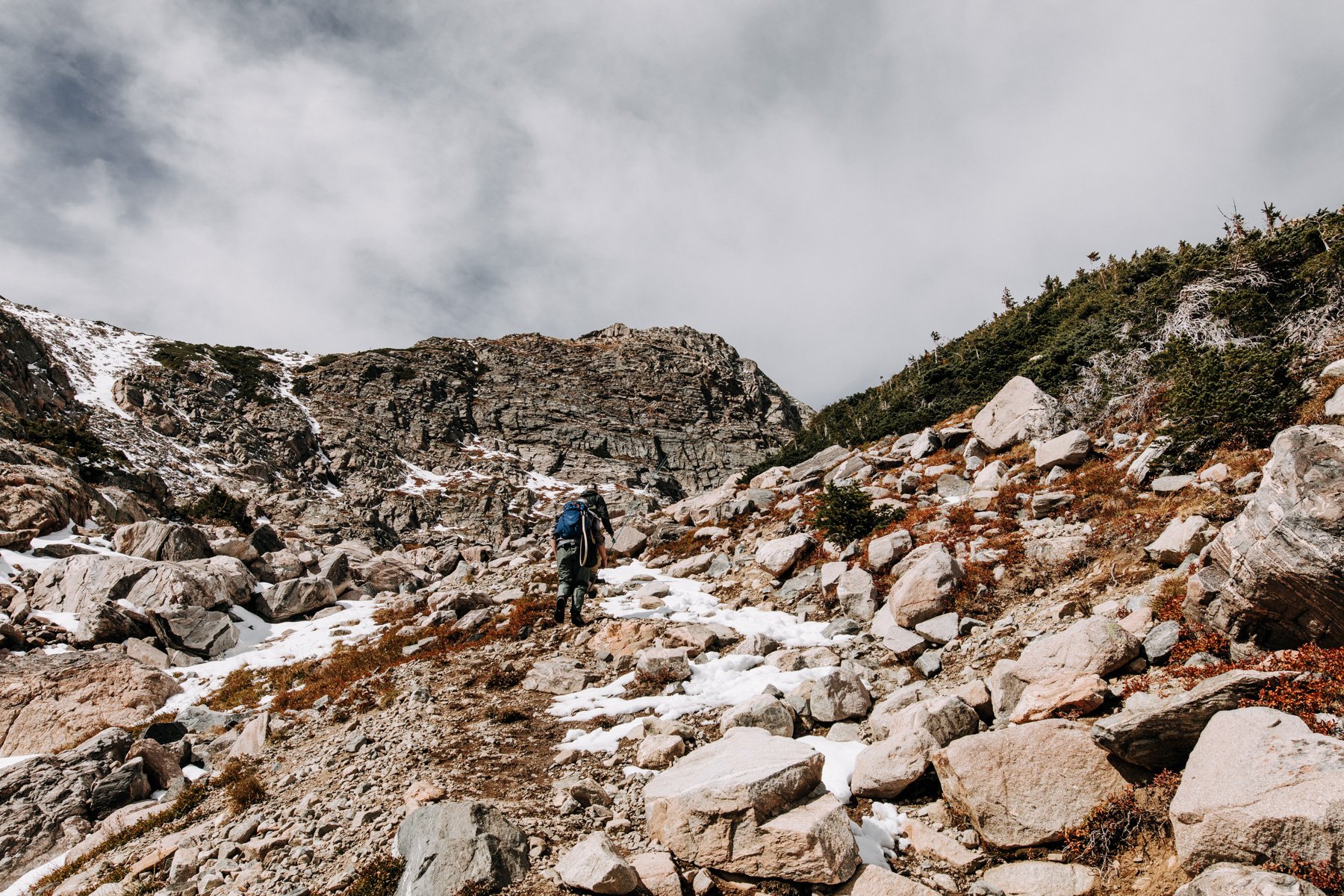
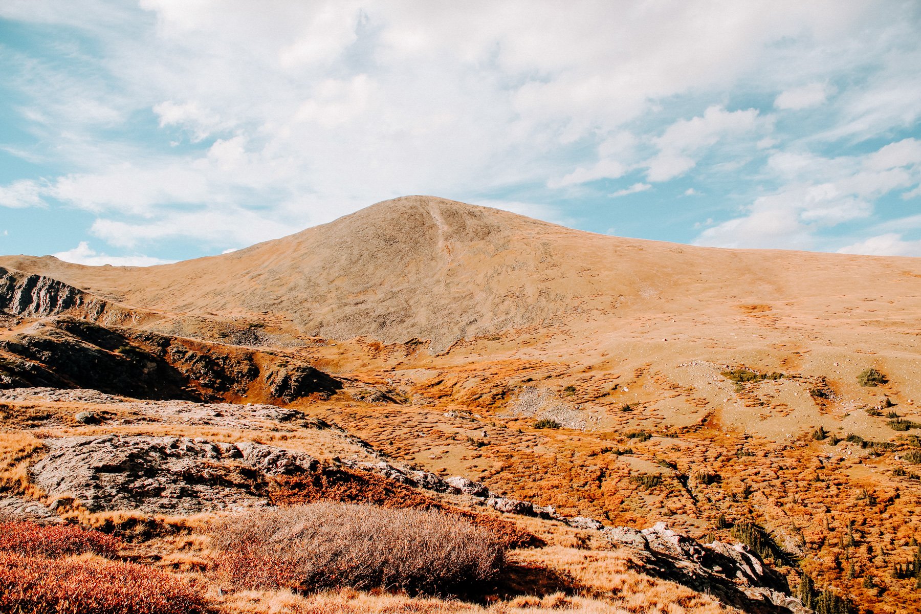
6. Mount Flora, Arapaho NF 6.0 miles RT 1,765 feet elevation gain
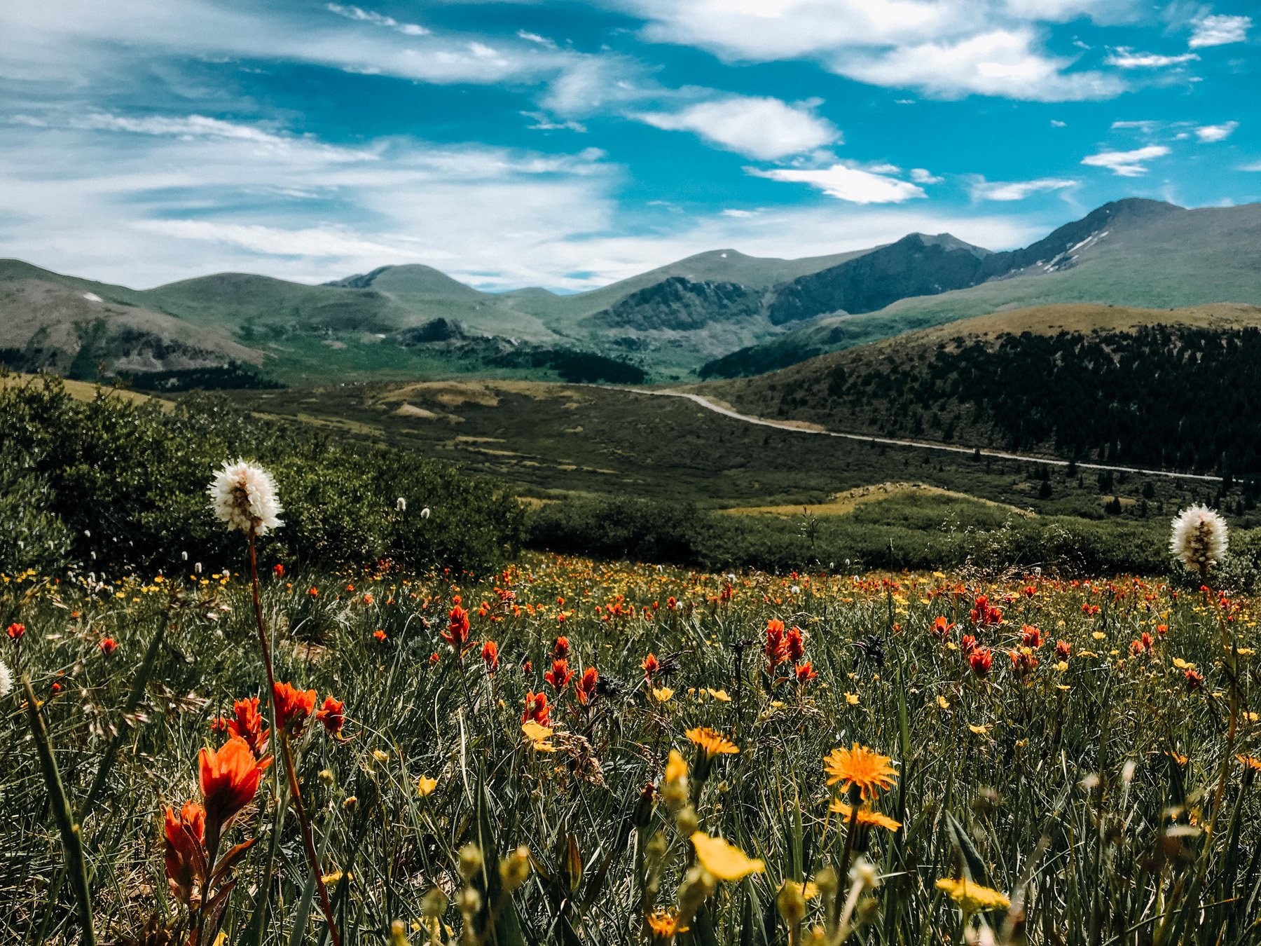
Okay another moment for honesty! I’ve never actually completed this hike, despite trying a whopping 3 times. The trailhead starts at Berthoud Pass between Empire and Winter Park. You take the trail that follows an old forest road before it splits off into a trail and follows the north slope of the mountain you’re on, Colorado Mines Peak. You’re rewarded with amazing views this entire hike so no matter how far you do or don’t make it, its a great one, especially during wildflower season!
*Bonus hike, from the same trailhead, you can cross the freeway and follow the trail up through the trees. After about 1,000 feet you reach a set of switchbacks that take you straight up to the ridge line for amazing views and way less people. You can keep following the ridge to Stanley mountain (7.4 miles RT) or just stop here and take in the wildflowers and view!
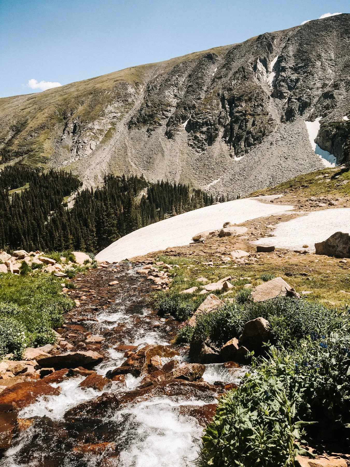
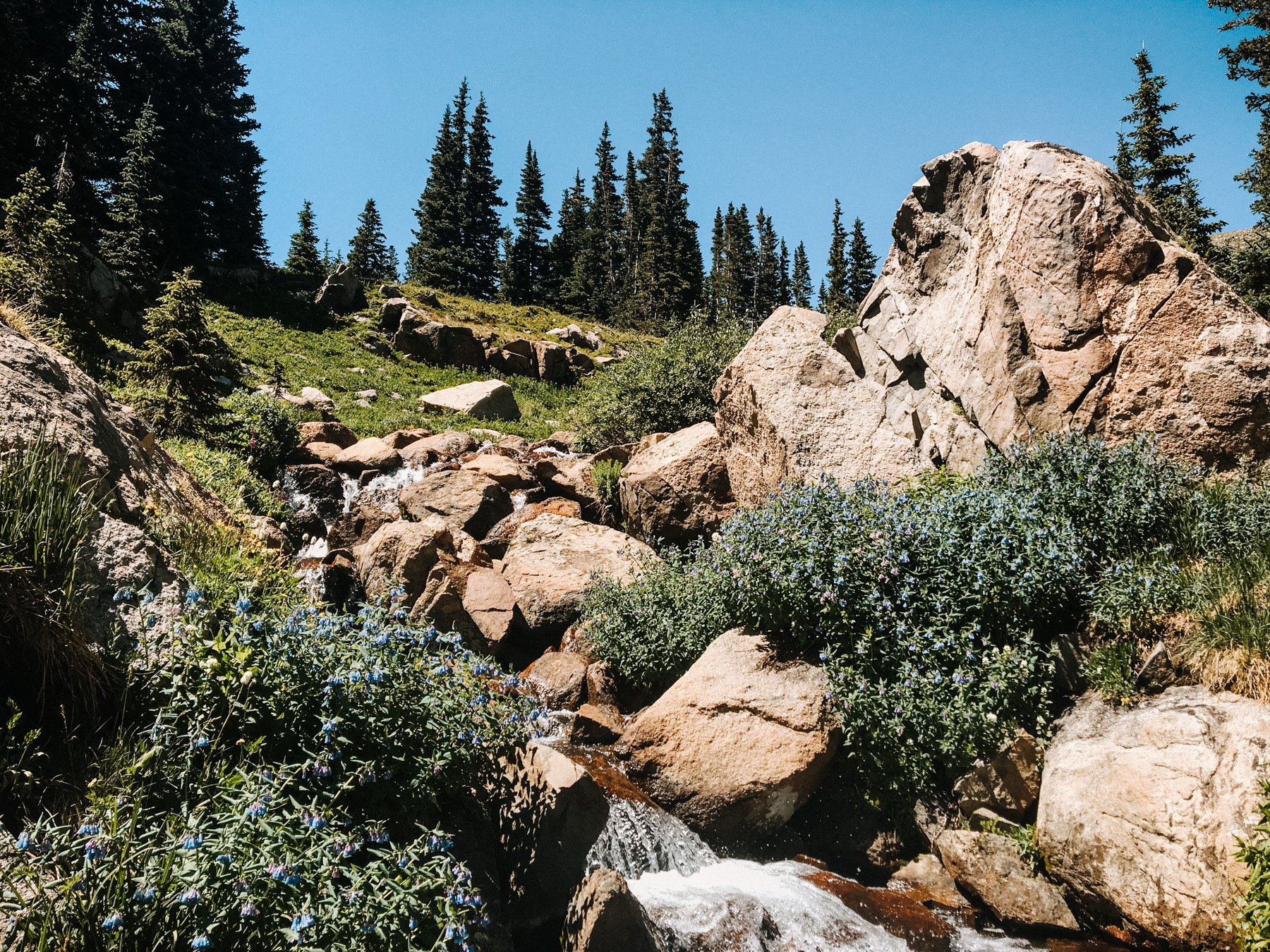
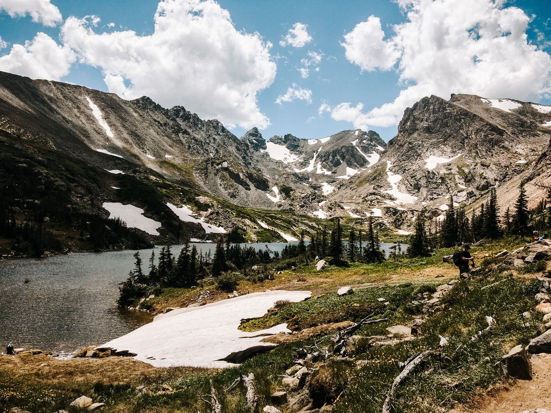
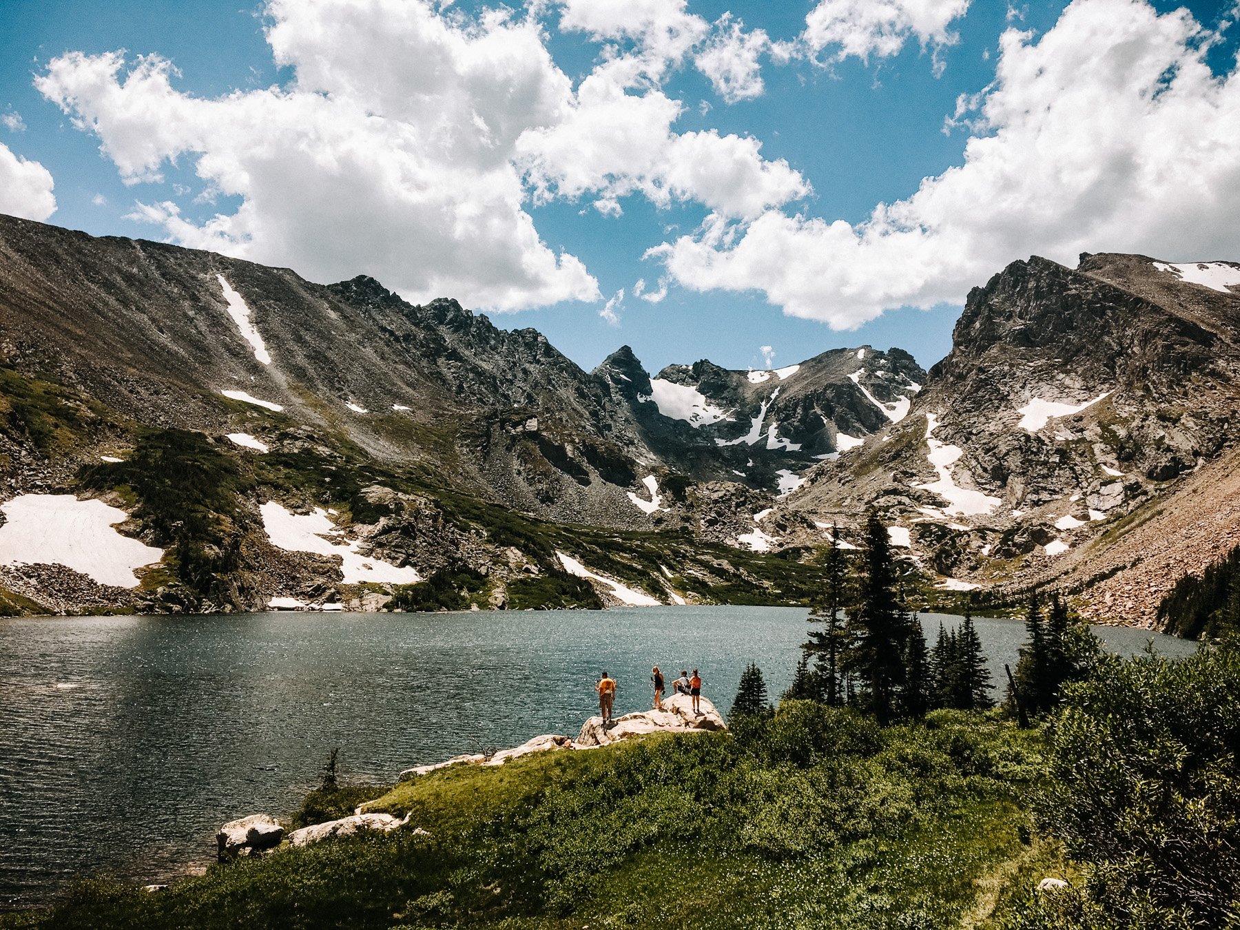
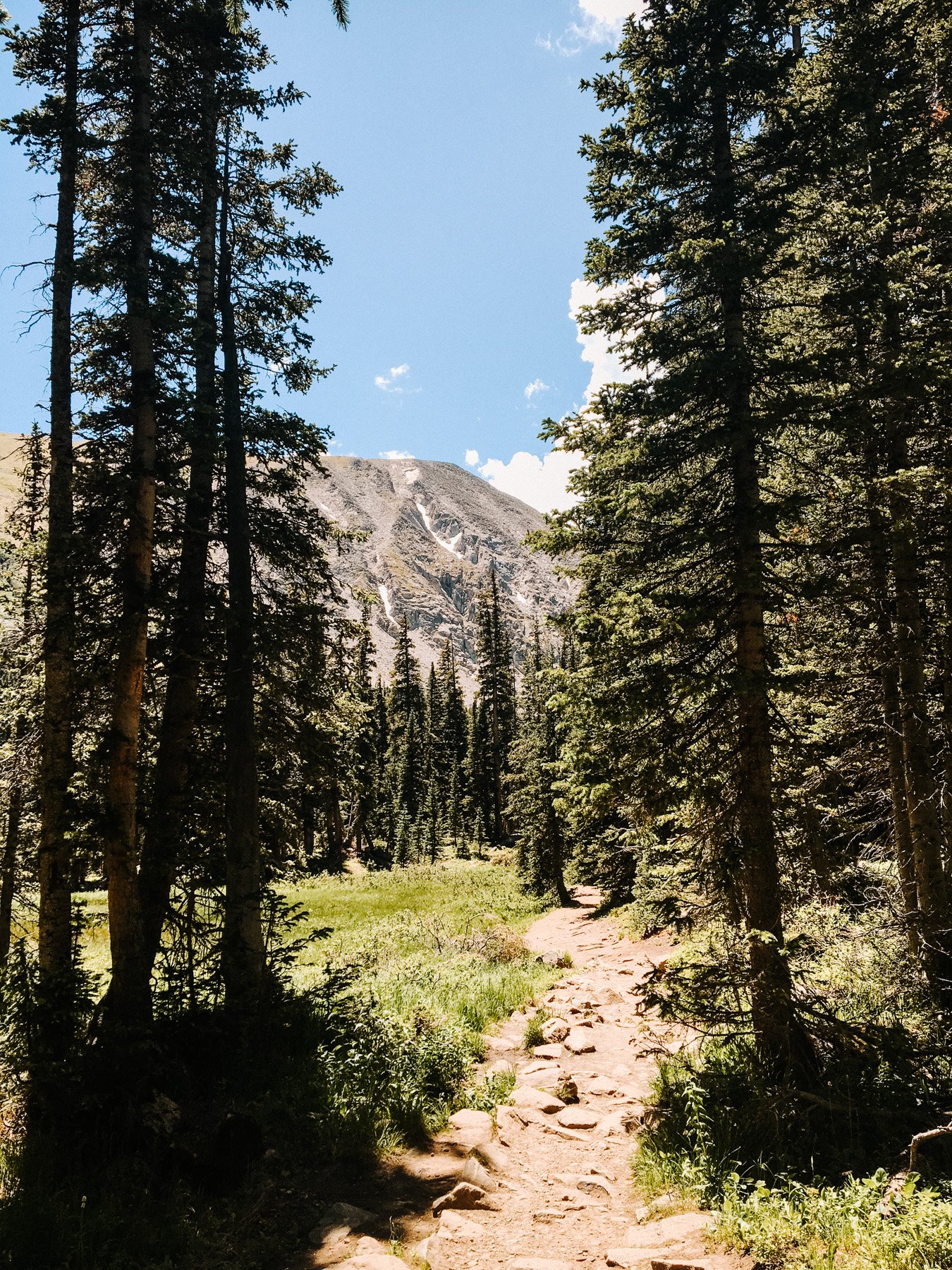
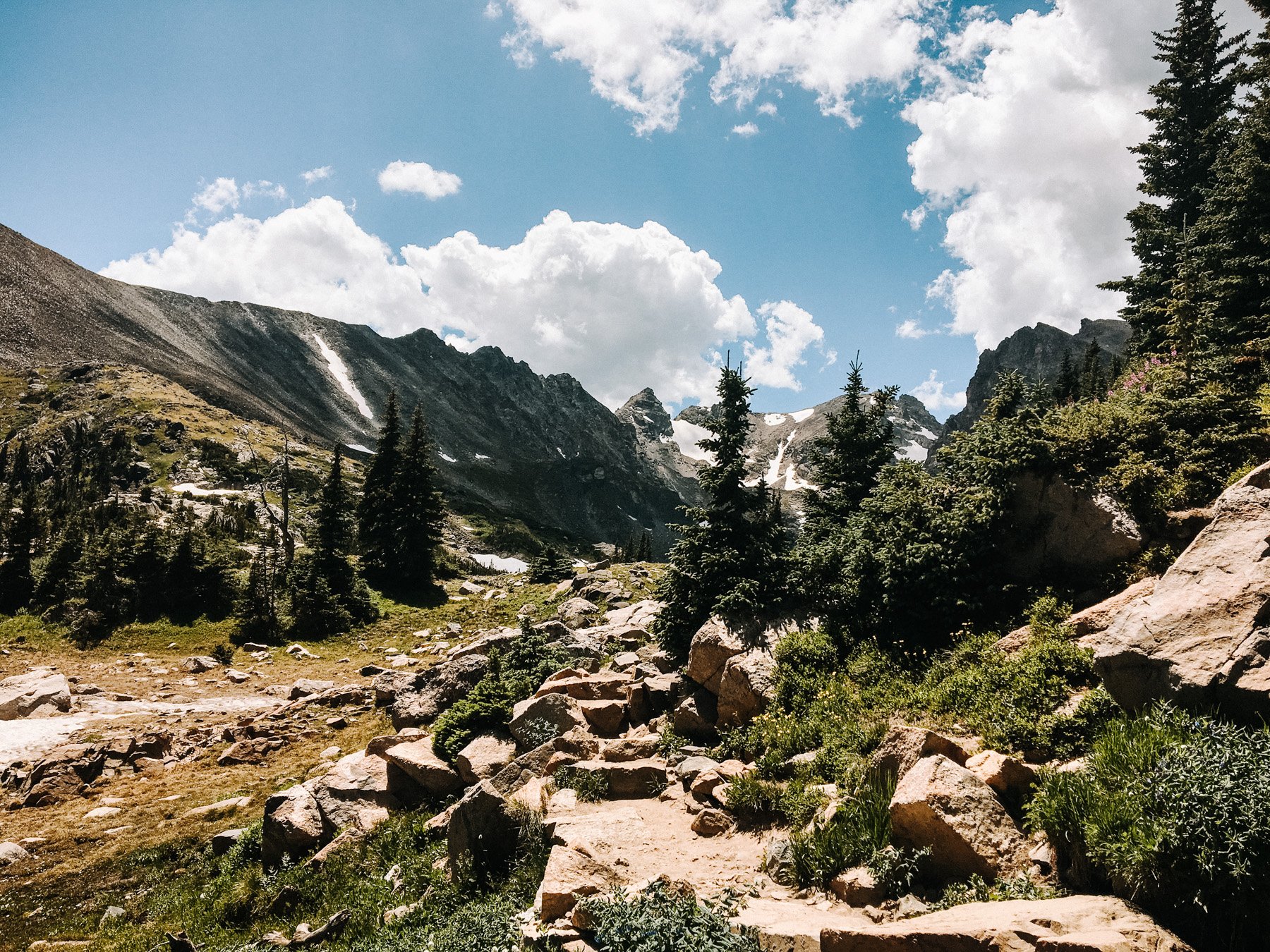
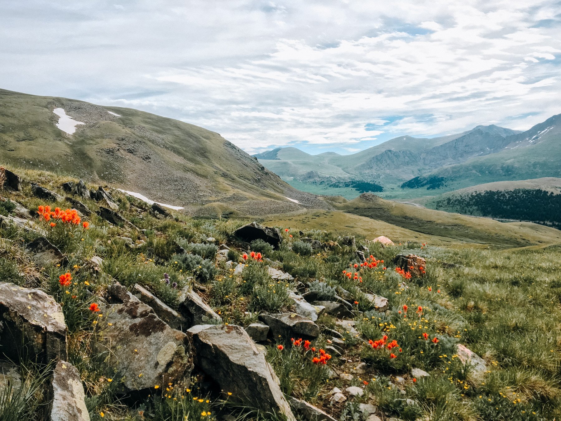
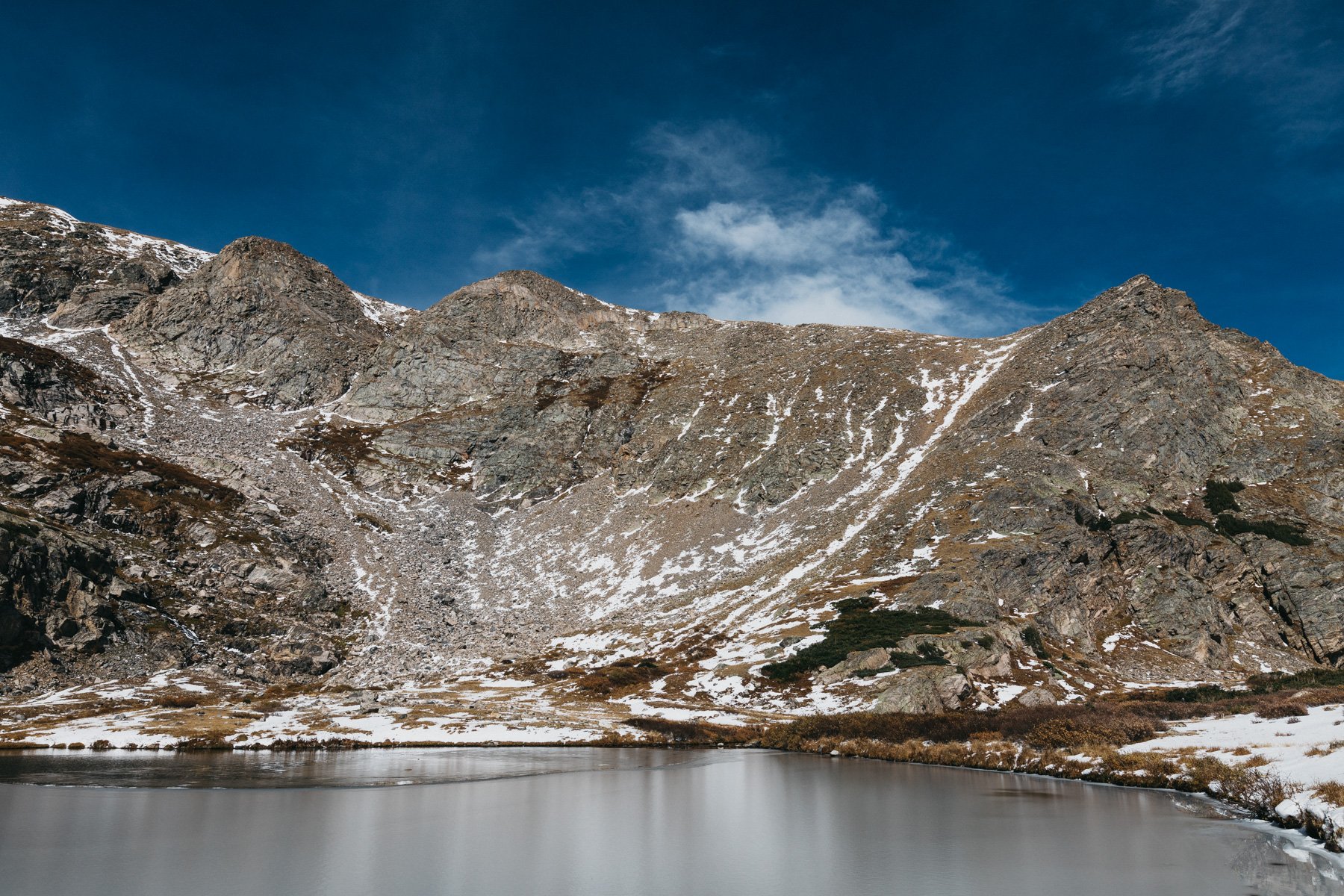
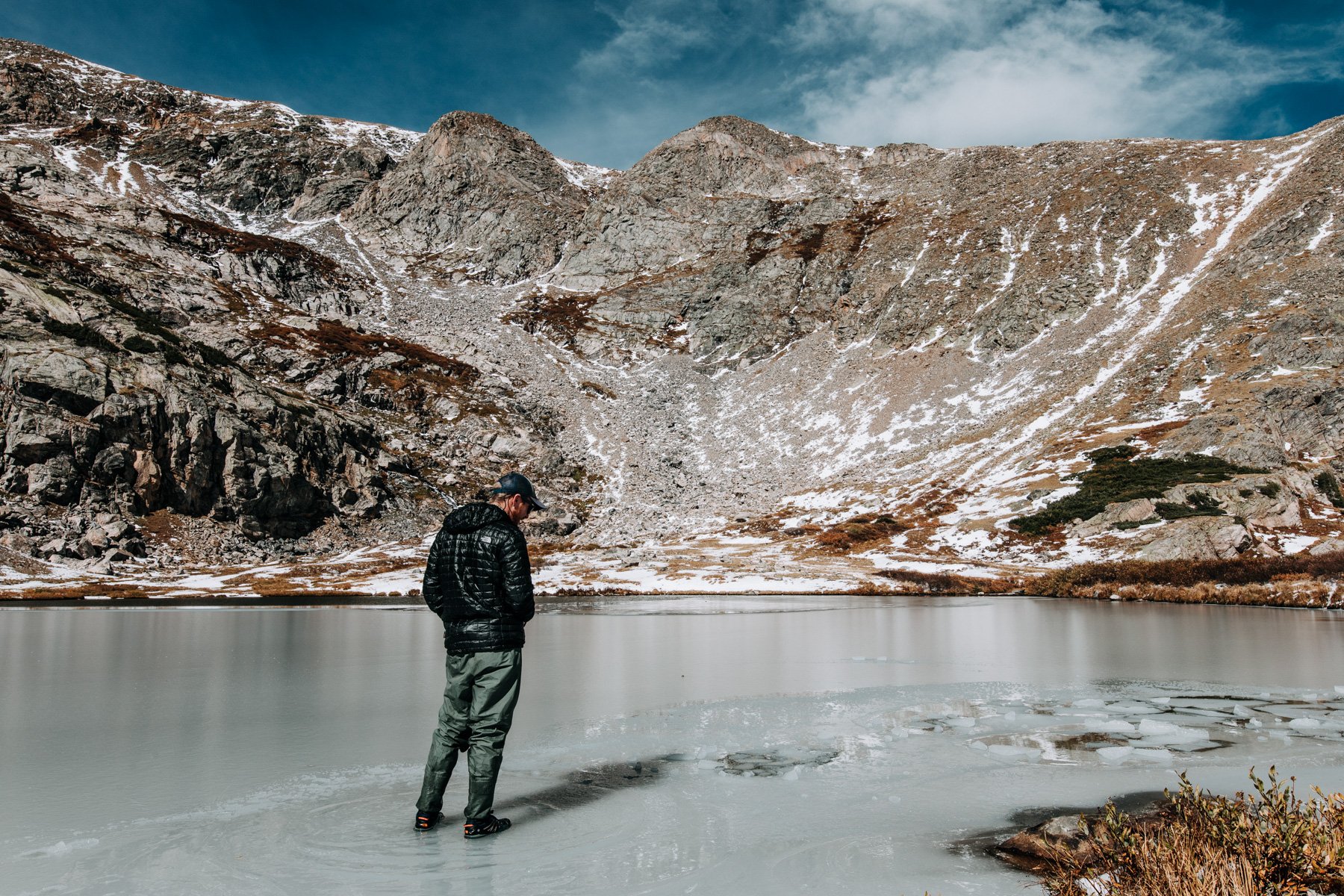
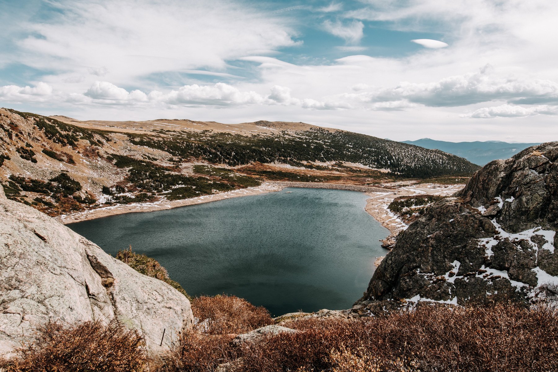
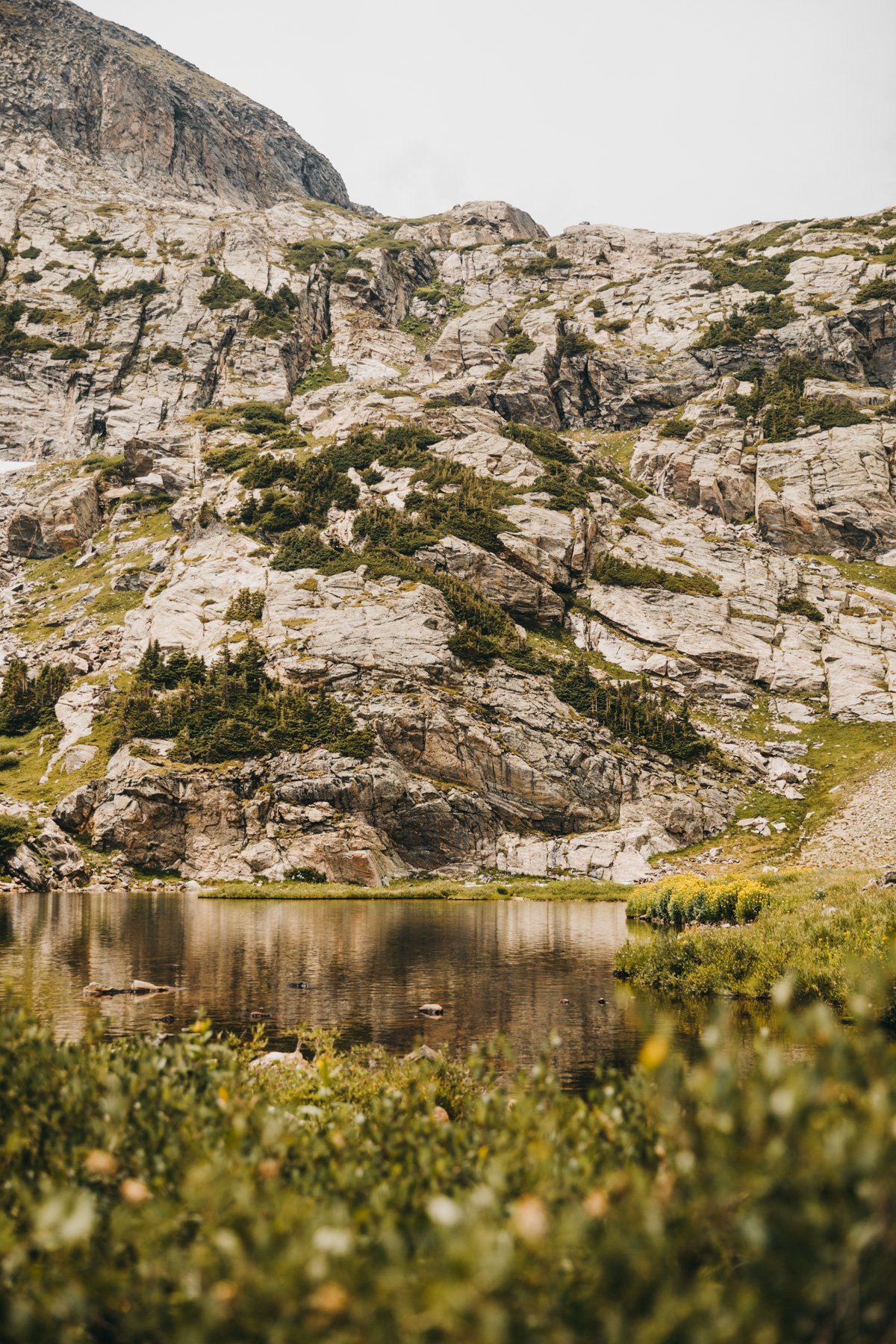
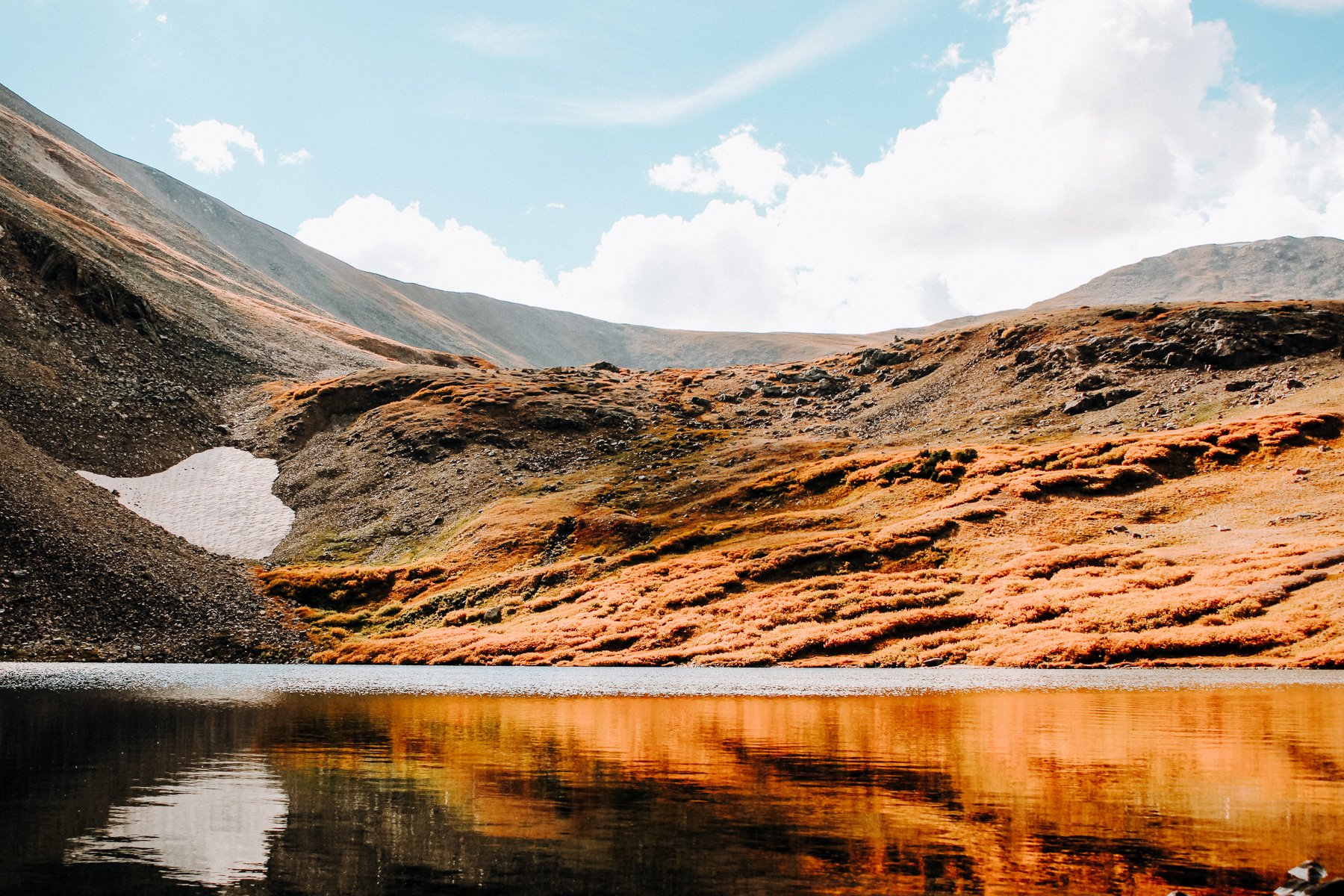
5. Lake Isabelle, Roosevelt NF, 4.4 miles RT 488 feet elevation gain
Lake Isabelle is another one of those picture perfect alpine lakes that is relatively easy to get to. You head up to the Indian Peaks Wilderness and take the turn for Brainard lake (reservation fee now required!). Brainard Lake Recreation Area is also closed in the winter so just make sure the road is open if you’re going in the spring or fall, otherwise you just have to park at the winter trailhead, adding on a couple of miles. The hike starts through an alpine forest that gradually climbs right of Long Lake. Eventually you start switchbacking up and over cascading little waterfalls before reaching the lake. You can continue on and head to Isabelle Glacier for another 4 miles. (Side note, these are alll iphone photos from like 2015 so they are not the best quality, but you get the picture)
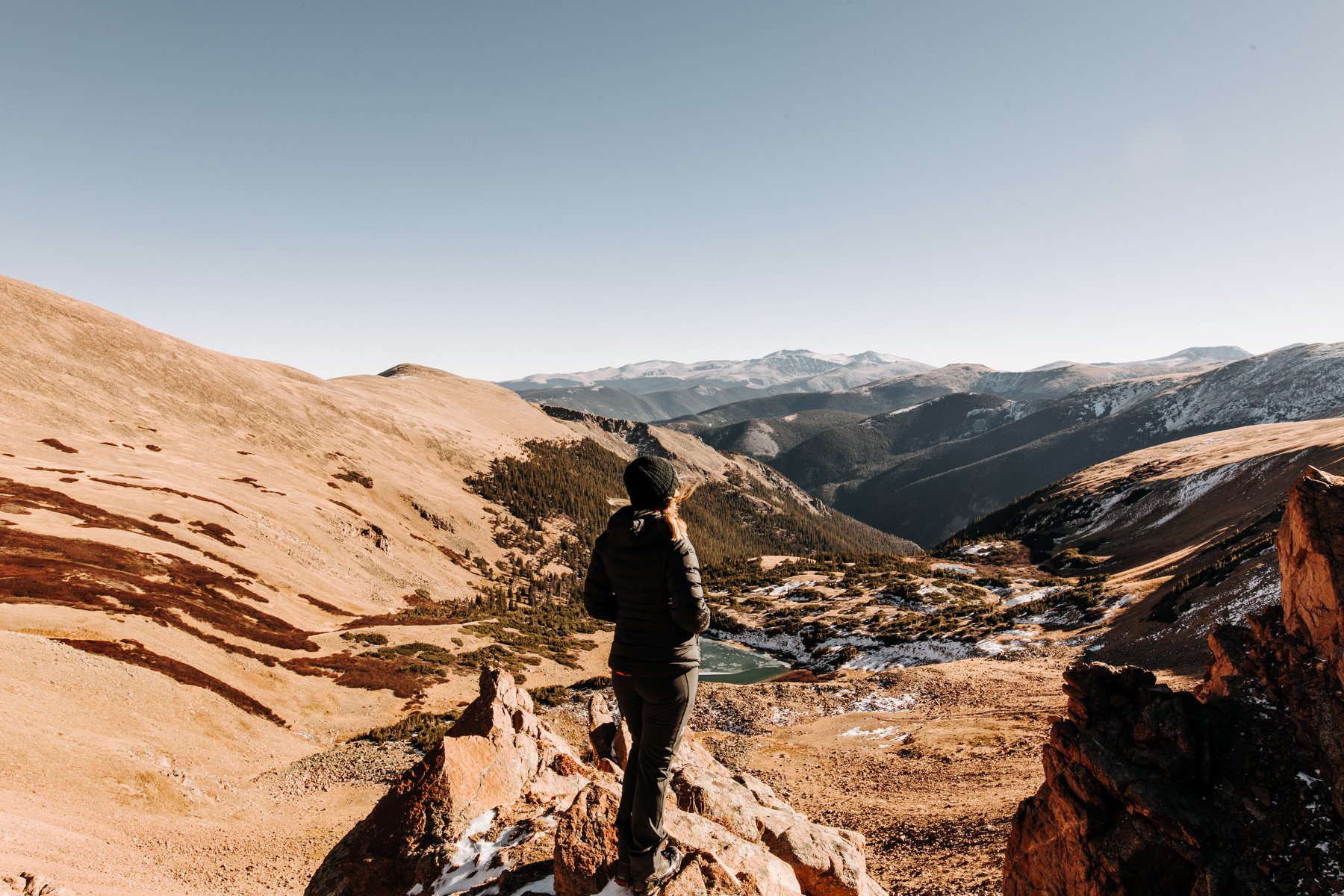
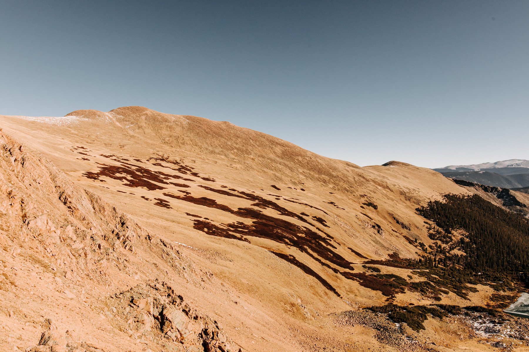
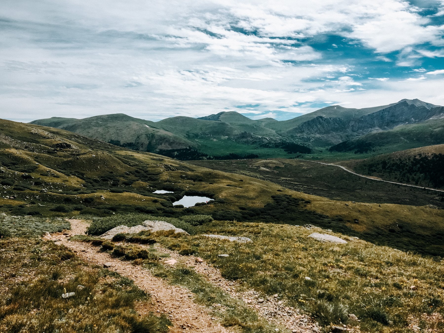
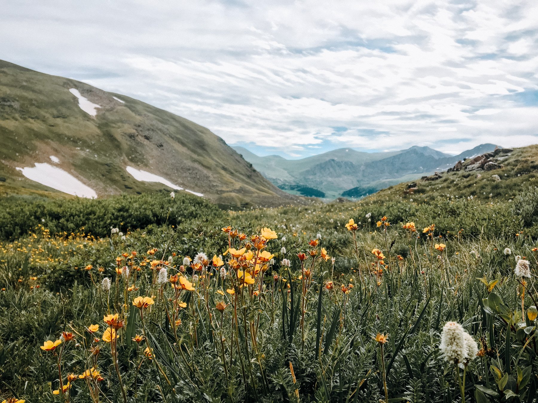
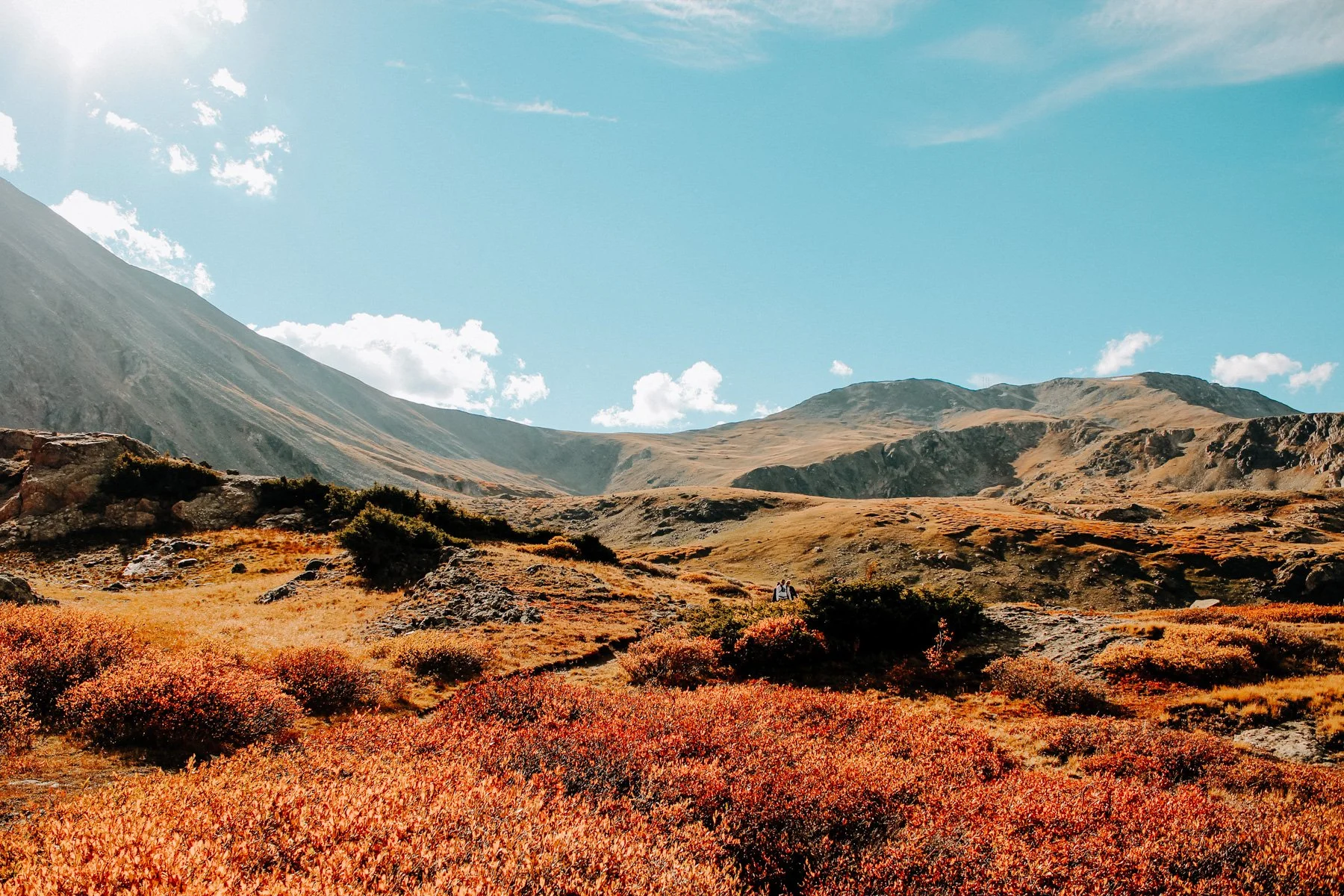
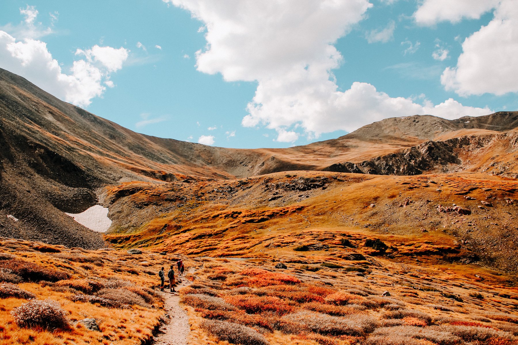
4. Square Top Lakes, Arapaho NF, 4.1 miles RT 921 feet elevation gain
I’m not sure if this is an official hike as I think the trail technically goes to Square Top Mountain but if you stop just short of the peak you hit Square Top Lakes! This is a great hike off of Guanella Pass which has exceptional wildflowers throughout the entire hike. You pass over two lakes below the peak and the trail is way less busy than the Mount Beirstadt trail across the valley. Keep heading to the top of the peak for a 6.9 mile RT 2,440 elevation gain hike!
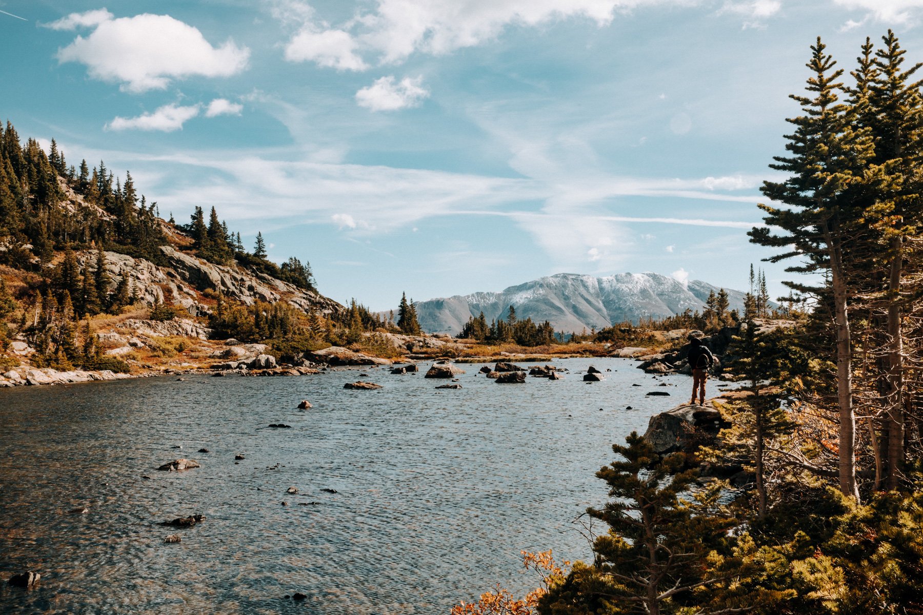
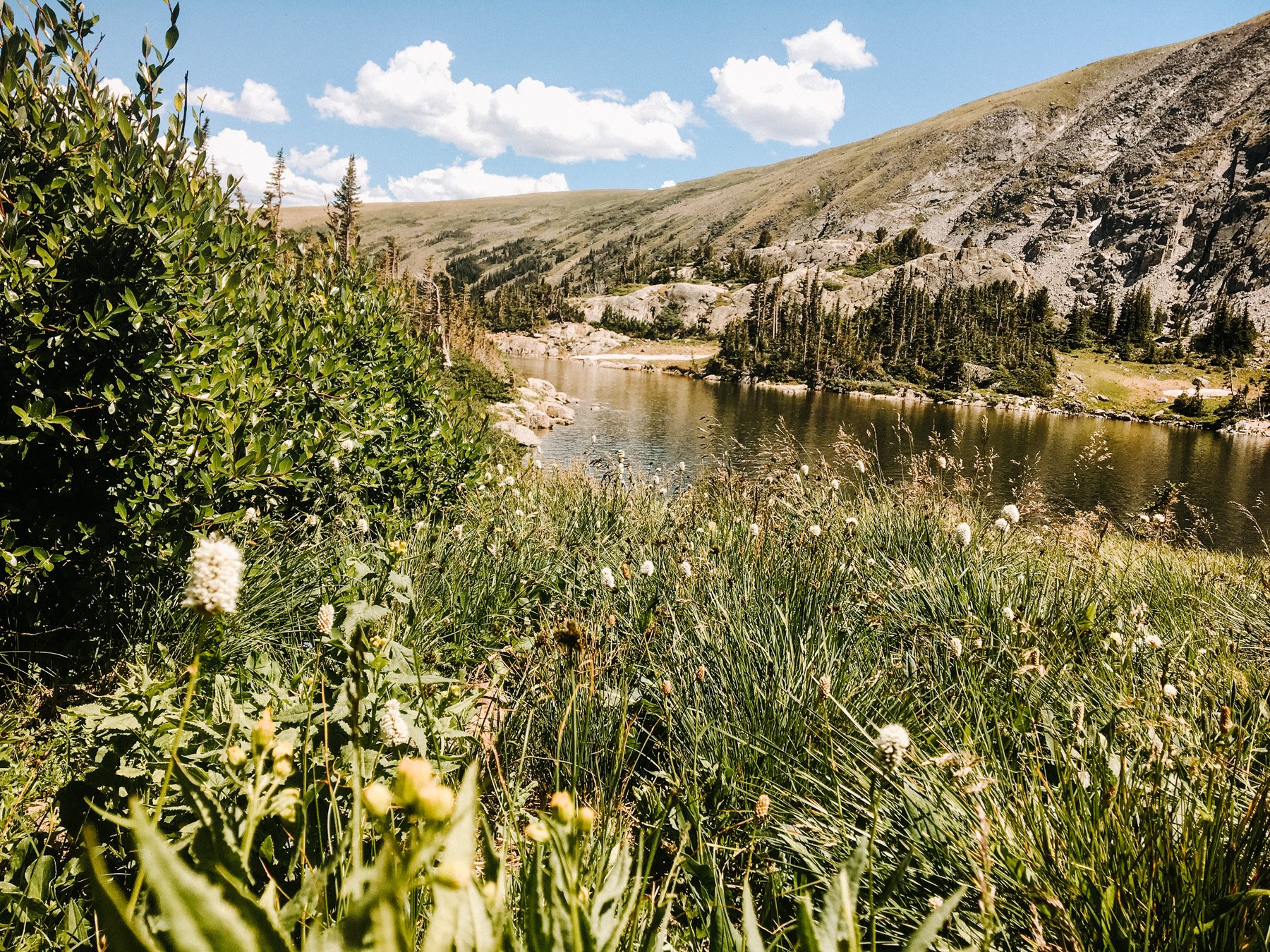
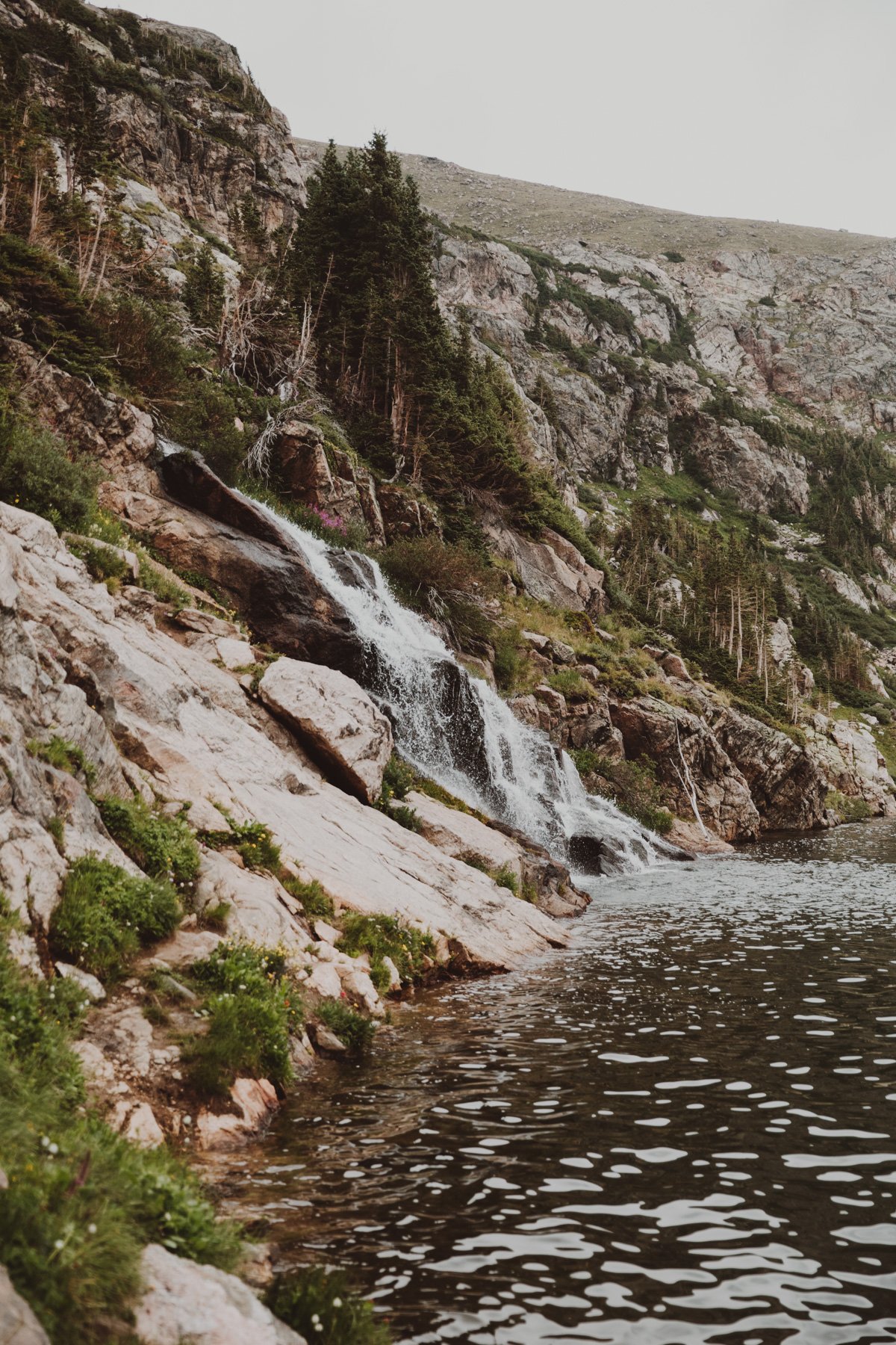
3. Loch Lomond, Arapaho NF 4.6 miles RT 895 feet elevation gain
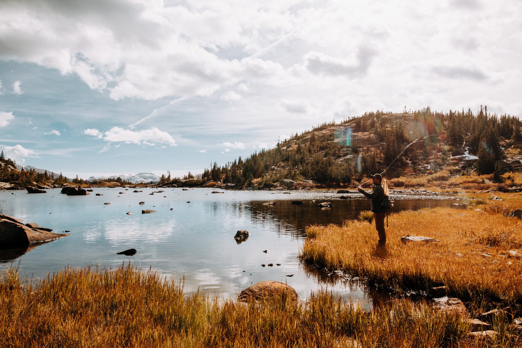
Where my love with alpine lakes began. Loch Lomond is a set of alpine lakes just north of Idaho Springs. It’s off of the same main road as Saint Mary’s Glacier, quite possibly one of the busiest trails close to Denver. Loch Lomond however is hardly ever busy, especially if you go when the road is still closed. Beware in the late summer around July 15th the forest service opens the road so there is a lot of 4x4 traffic but if you can get here before, its a relatively easy hike up a jeep road. The Loch has the lower lake with a waterfall on the far end, or you can follow the trail to the left of the lake as it climbs up over to Stewart Lake and up further to Ohman Lake. The upper lakes are never too busy and I never see more than one or two other groups of people and they are very easy to get to so I recommend seeing them! I’ve also watched people eat full charcuterie boards here, so yes, it’s also a very solid place for engagement photos or a quiet vow renewal if that’s your thing.
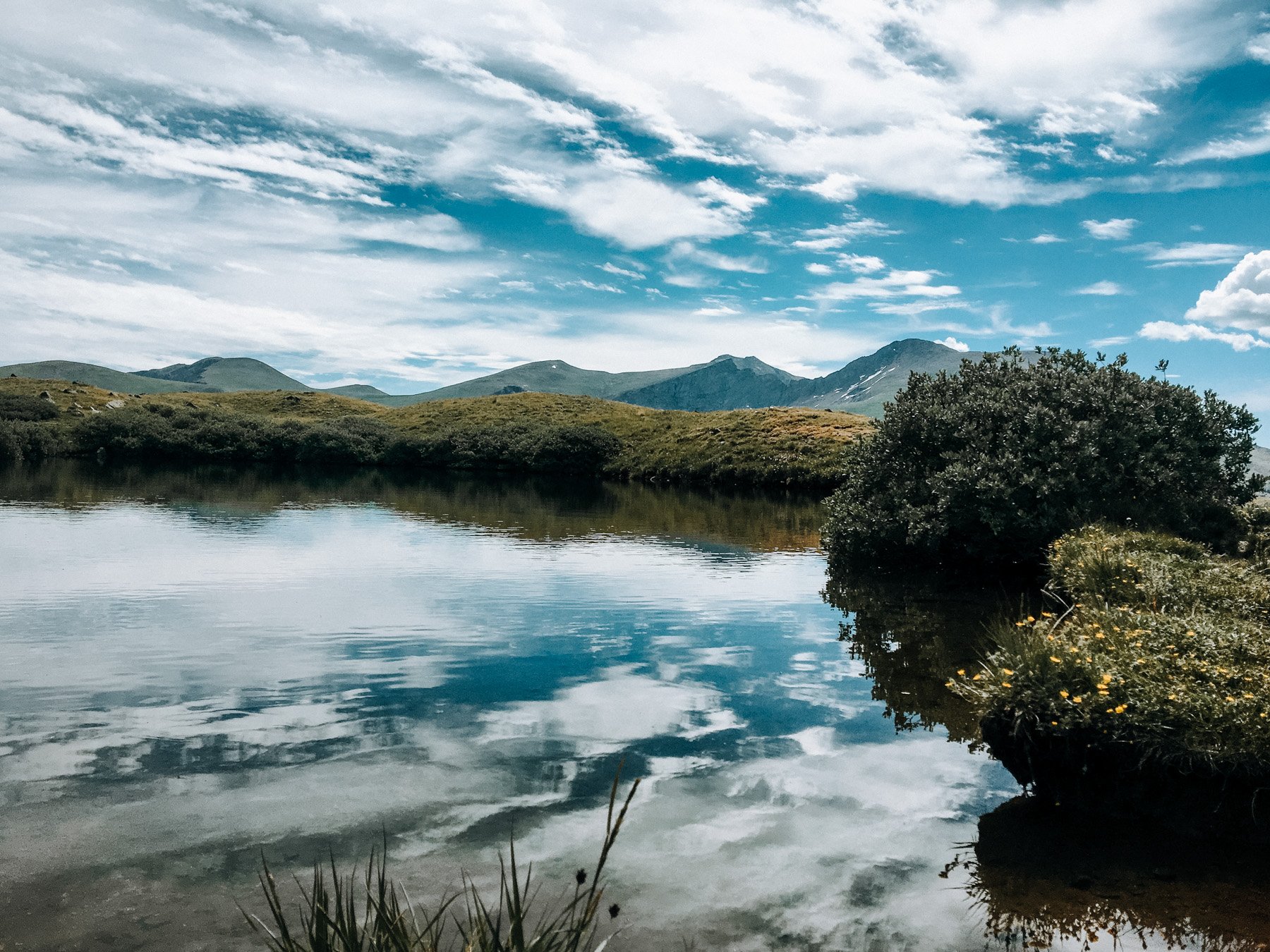
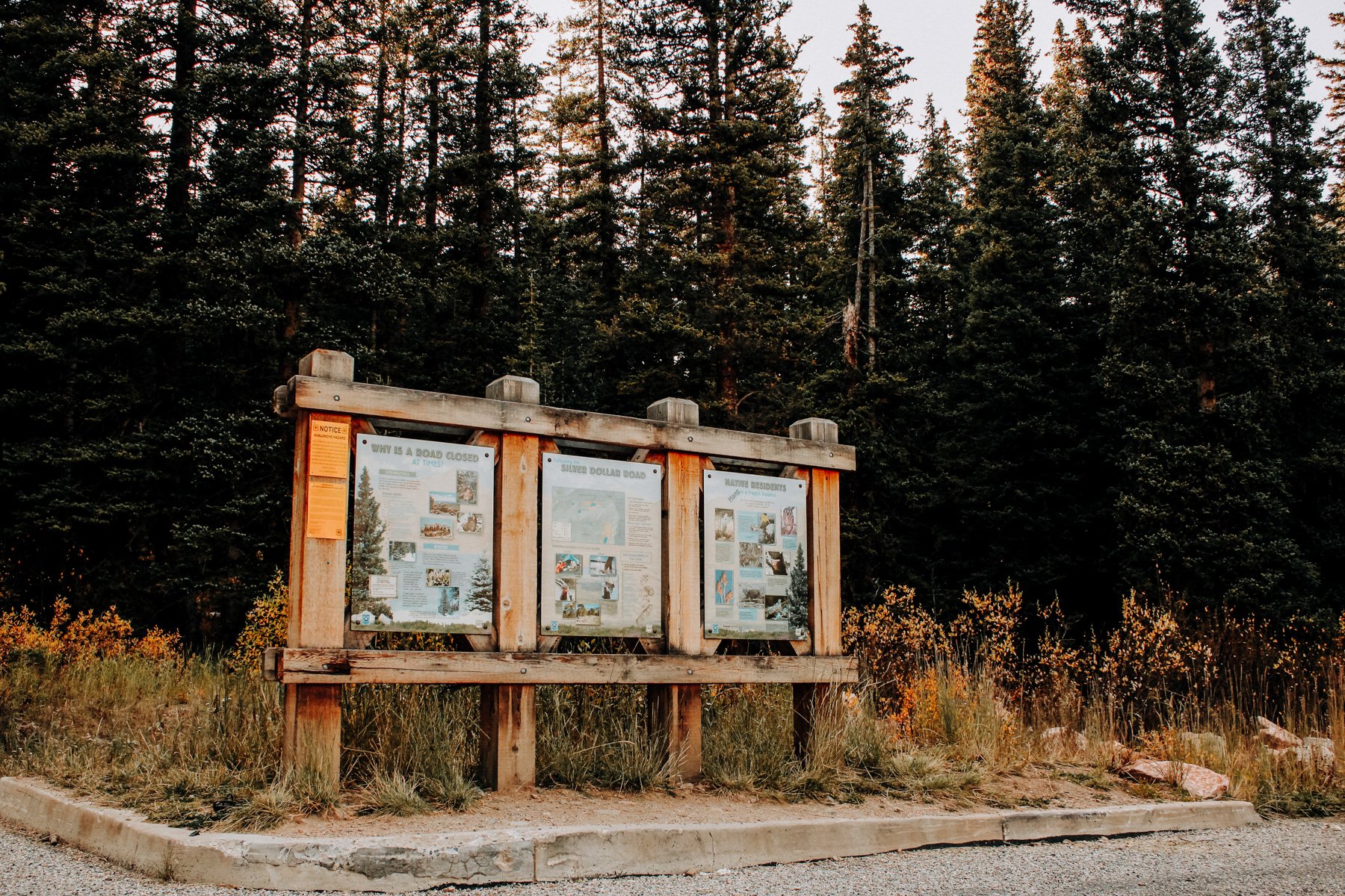
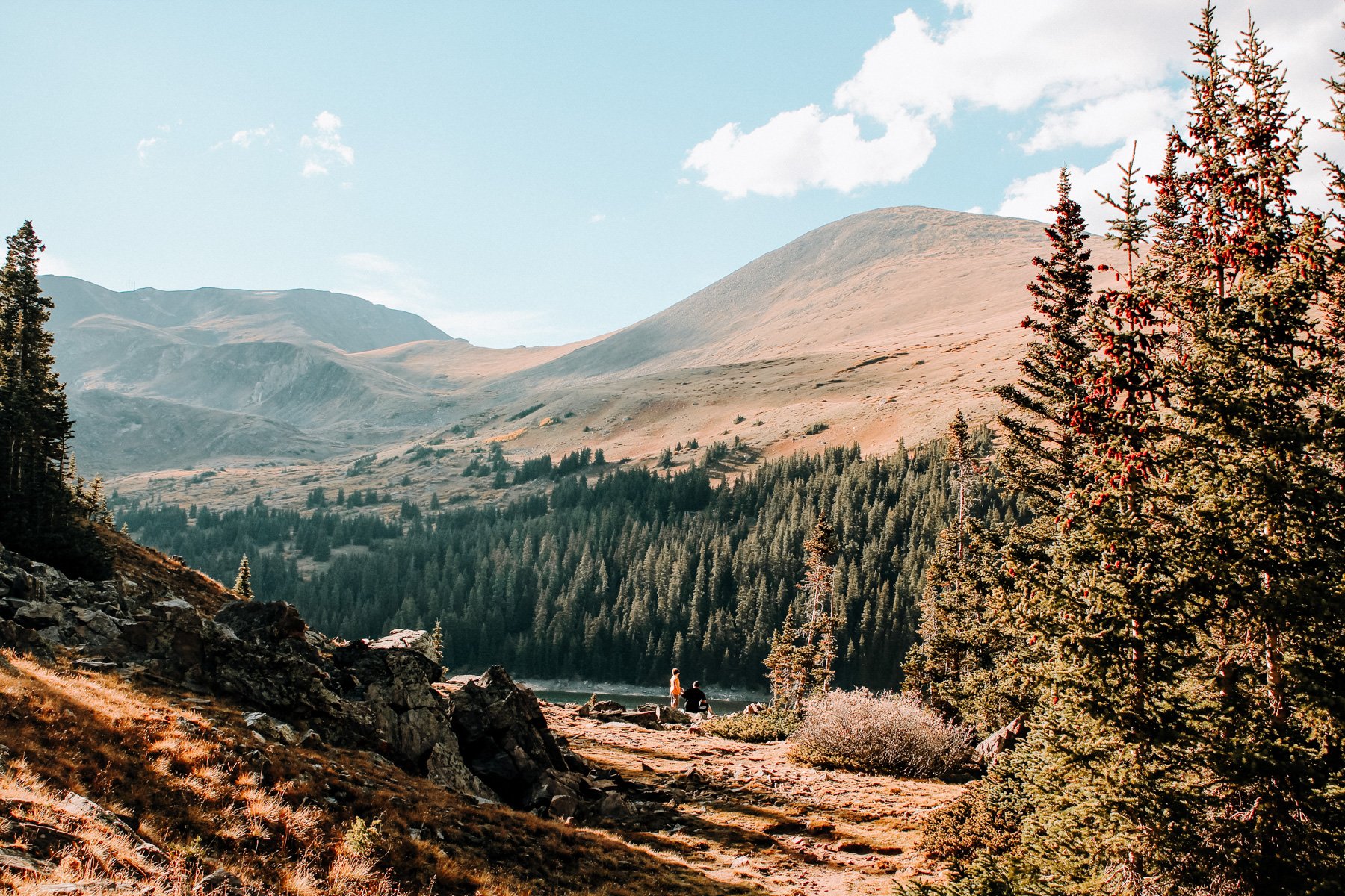
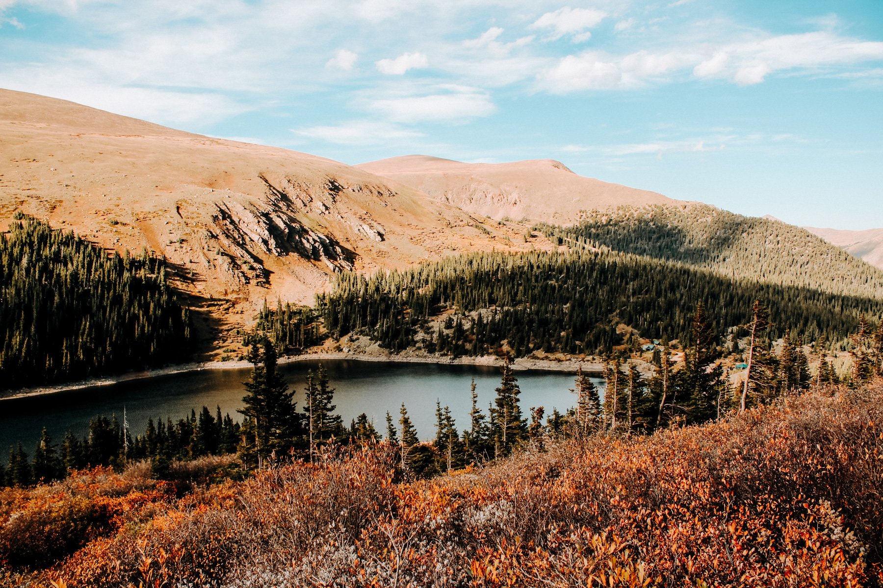
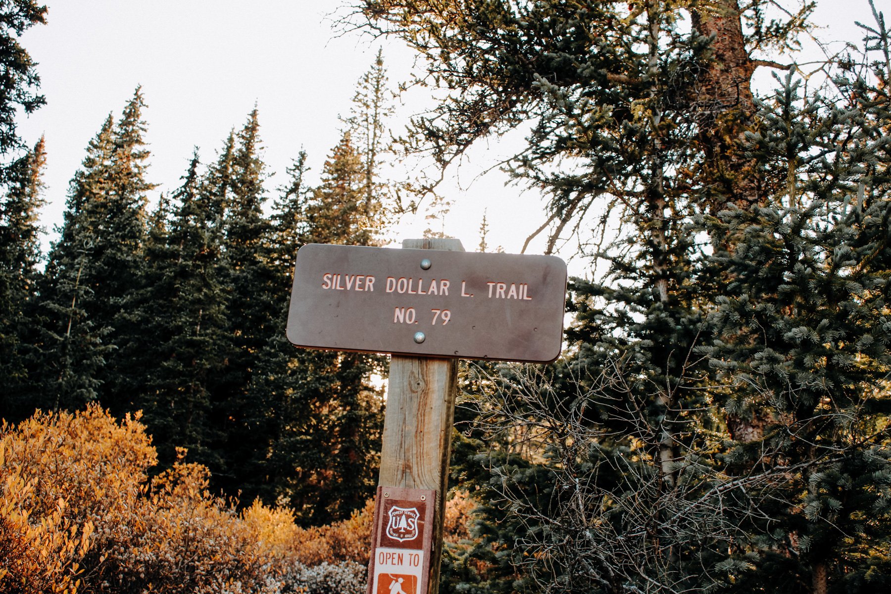
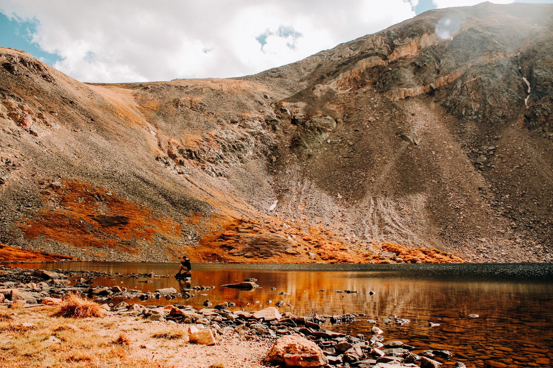
2. Silver Dollar Lake Arapaho NF 3.2 miles RT 774 feet elevation gain
This is the first alpine lake I ever hiked to in Colorado! Off of Guanella Pass, Silver Dollar lake is a great hike in the summer and fall as the foliage changes colors! You’ll need 4x4 to get to the trailhead as you turn off Guanella Pass, otherwise you’ll add another mile and 400+ foot gain (as of 2020 I believe this road is now closed to parking so you will not need 4x4 and will instead need to park at the trailhead where the road is still paved). You’ll slowly climb to the left of a lake situated in the valley, until you reach Silver Dollar Lake. You can continue on to Murray Lake for another .6 miles and 300 foot gain.
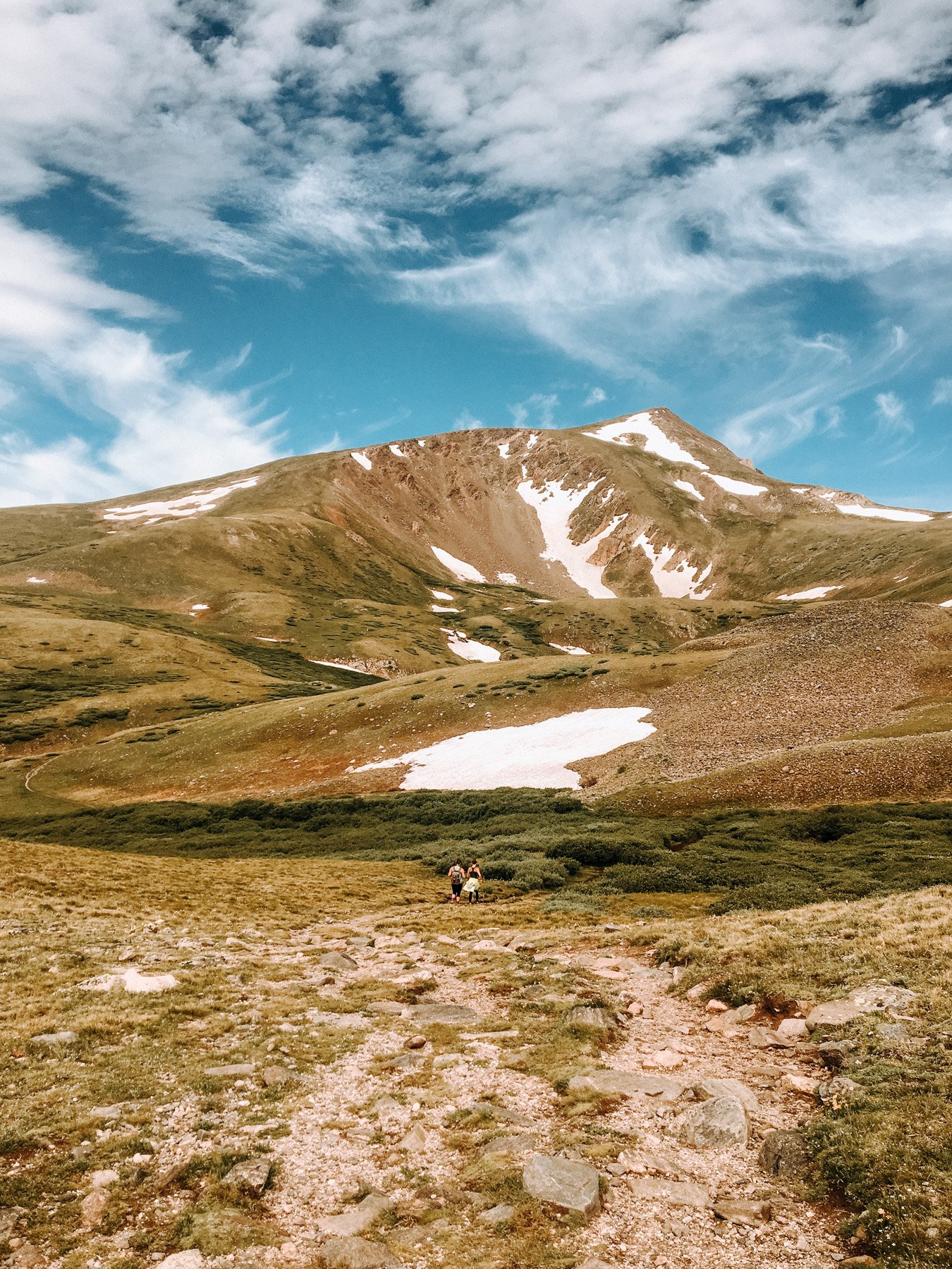
1. Chief Mountain, Arapaho NF 3.1 miles RT 984 feet elevation gain
If you’ve ever asked me about trails in Colorado, I’ve probably mentioned this one. My favorite trail ever, only about 45 minutes from downtown Denver, is Chief Mountain. The trailhead is an inconspicuous pull off on Mount Evans (now called Mount Blue Sky!) road, the fastest route coming from the Evergreen side. The trail is a steady climb up through the alpine until it opens up above tree line about half way through your hike. Once above tree line you’ll see the boulder field at the top (also, its hardly a boulder field so dont let how I am wording it deter you) which is the summit. From the top you can see Squaw Mountain Fire Tower Lookout, and Mount Evans, the highest of the peaks in the Northern Front Range. Unsurprisingly, I only have one iphone panorama photo from four years ago of the top of the summit because it is always so breathtaking that I like to just sit and take it in :) This is one of those busy trails that you can have all to yourself, if you know when to go. So it can also be great for proposals if you like a little drama but not an audience.

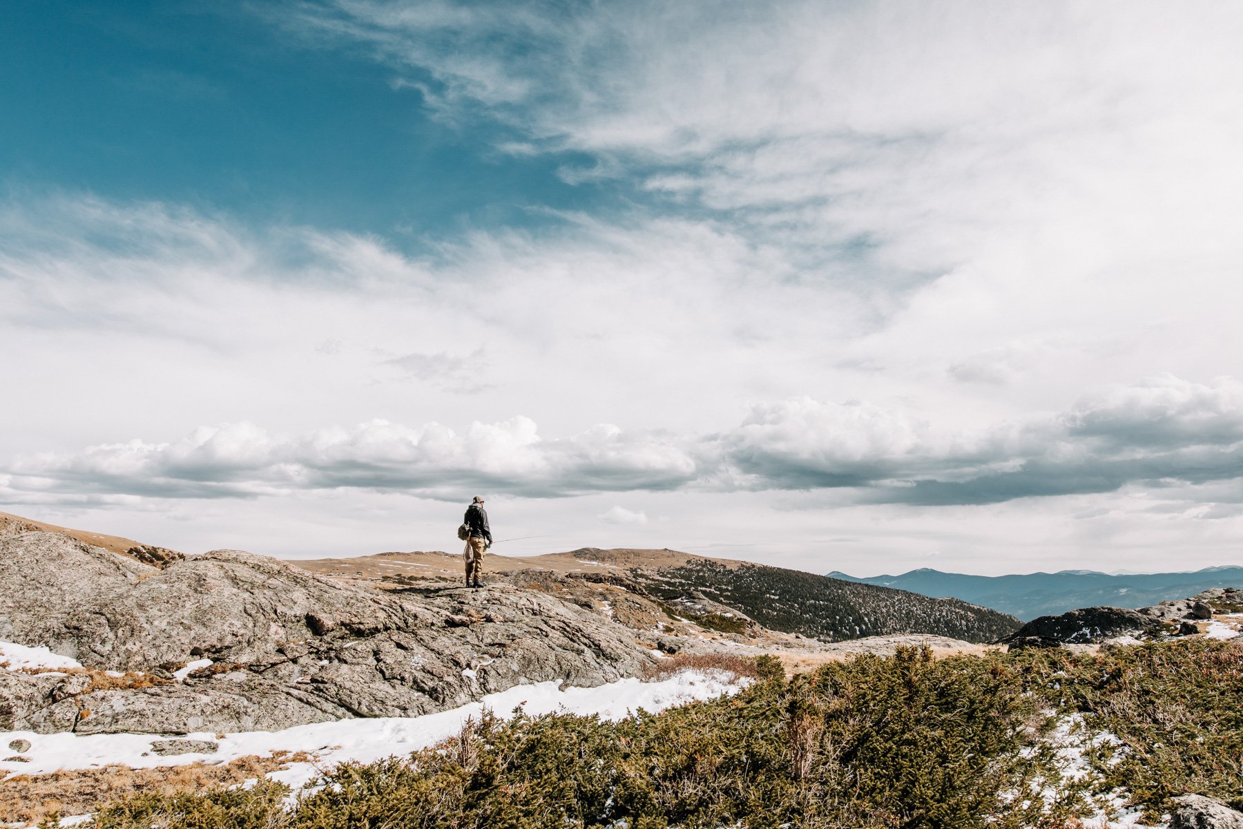
How to Be Prepared For the Best Colorado Hikes
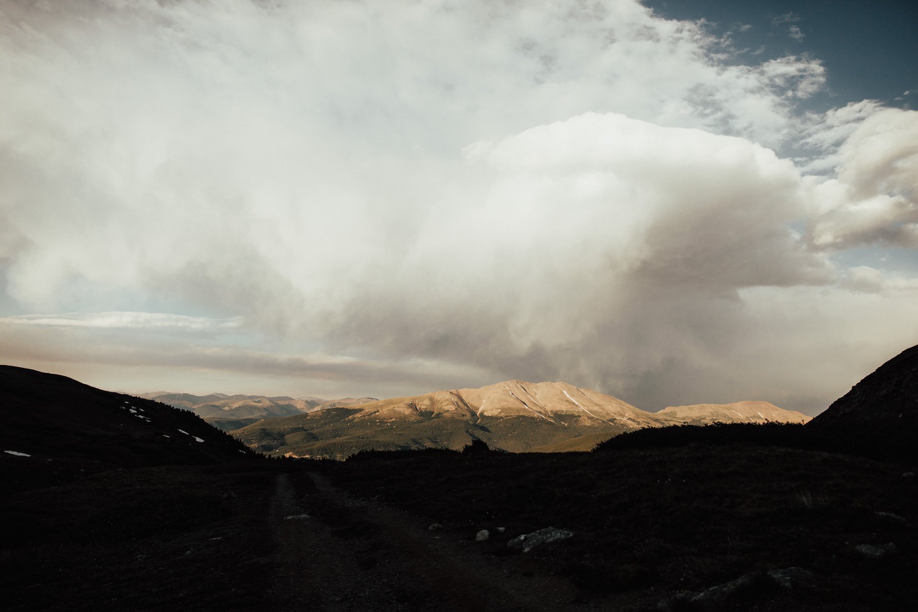
Weather is incredibly unpredictable at higher elevation. Most of these hikes are above alpine/tree line, it is incredibly dangerous to hike during storms. Because you are so high up, you will not be able to see incoming weather on the other side of a range or peak. It is always recommended that in spring and summer you are off mountains and summits by noon for incoming storms. In the last 36 years 472 people have been injured from lightning strikes so BE PREPARED. Know what to do if you are caught in the situation because as someone who has been caught above tree line in a storm, it is terrifying when you see lightning strike near you and you are an hour walk away from any shelter.
Also be aware that in these storms it can be 70 degrees and warm until it starts raining and the temperature drops drastically. If you are not prepared you can be soaking wet in a matter of minutes. Always carry rain gear, even if the forecast looks clear.
Additionally, many people traveling to Colorado want to go on these hikes and you should! But give yourself at least two or three days to adjust to the altitude. Altitude sickness is a very real thing and still hits me if I get above 10,000 feet, despite living in Denver at 5,280 feet for five years. If you start to feel dizzy or nauseous, turn around and get to lower elevation. Also if altitude sickness hits you in the form of “oh shit, I gotta shit and there is no toilet at 10,000 feet”, dig a cat hole 6 inches at least 200 feet from any lake, river, stream, wash, or water source and pack out your toilet paper if possible.
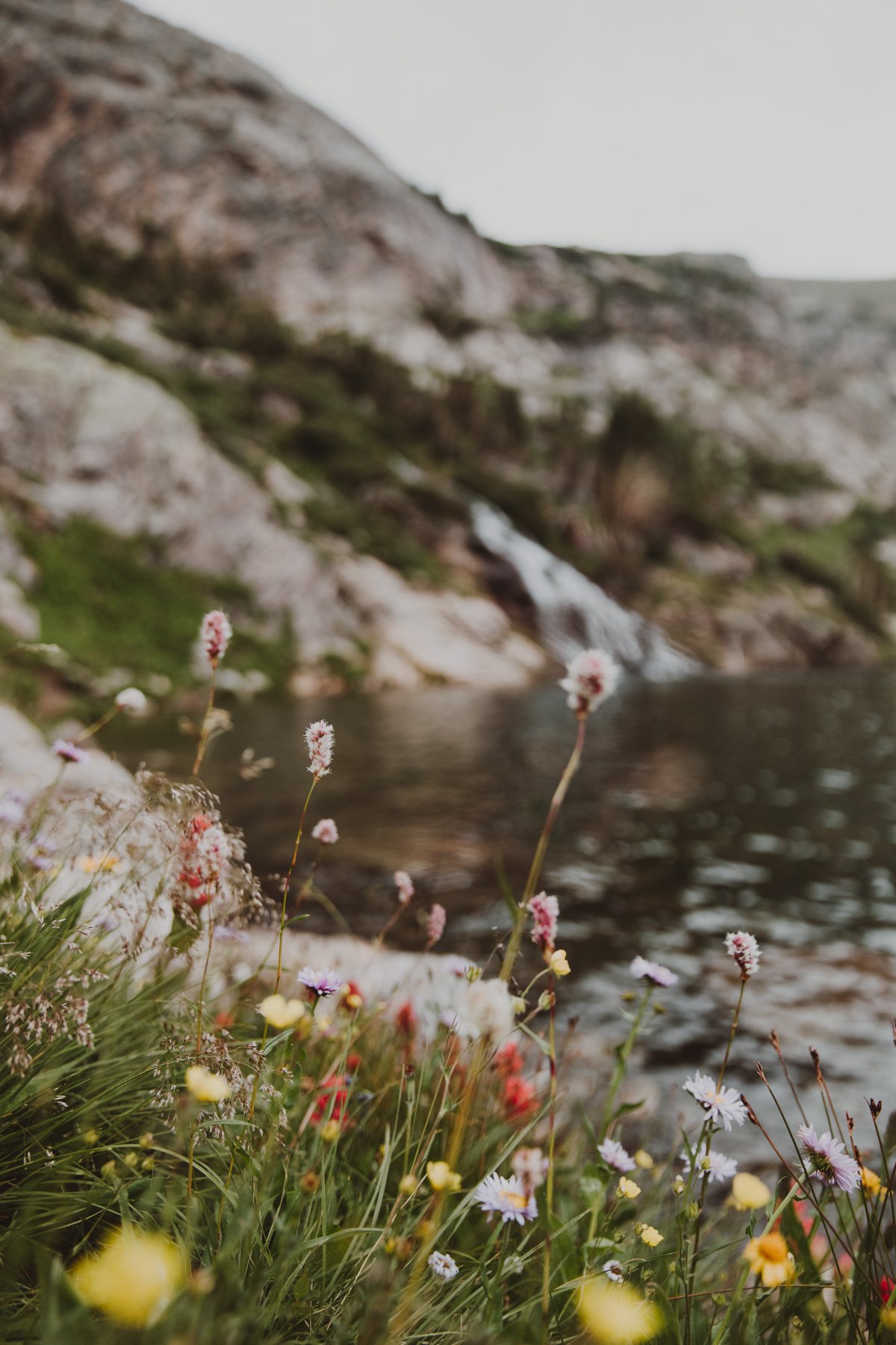
And last but not least, a lot of these trails have wildflowers in the spring and summer and so I would like to kindly remind you to please not step on, pick, or lay in them! Some wildflowers are rare and endangered so it is illegal to pick them. And all are a fragile part of the important eco system, (it prevents other visitors from enjoying them as well).
“Almost all wildflowers are fragile and many wilt and perish soon after being picked. Over the years, the repercussions of wildflower picking by unthinking people go far beyond the loss of the flowers themselves. A critical chain of events is triggered for years to come once wildflowers are lost. We don’t often realize it, but wildflowers support entire ecosystems for pollinators, birds, and small animals on a micro scale. Butterflies and other insects, small birds, and animals depend on seeds, nectar, and pollen for their food supply and life support system. In addition, some pollinators are not very mobile or have very small home ranges or depend on just one species of plant and die once their habitat has been destroyed.”
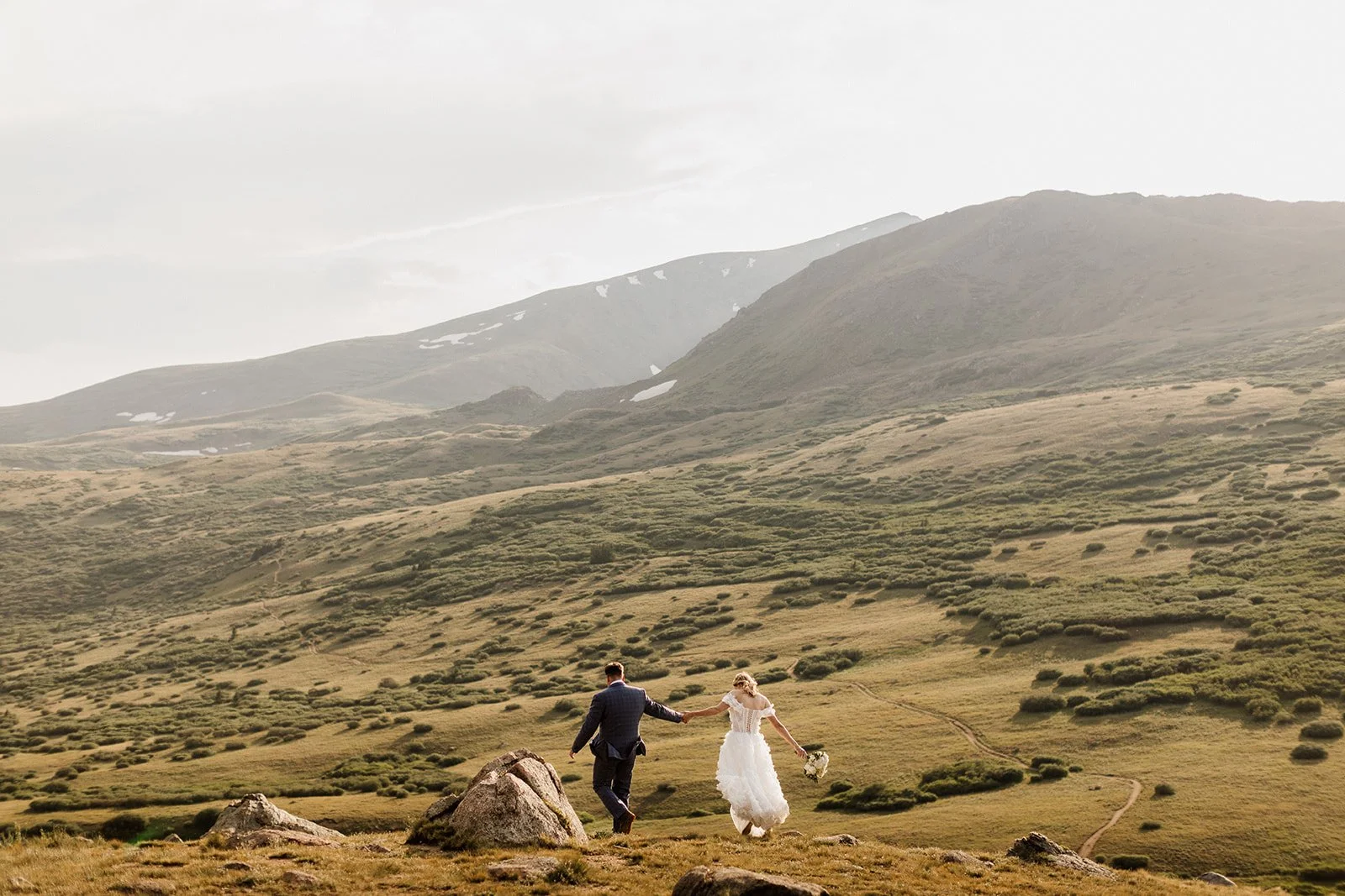
If you’re bookmarking this list and thinking, “okay but imagine doing this in a dress,” yeah… same.I help couples plan elopements, vow renewals, proposals, and engagement photos in these exact kinds of places without turning it into a whole production. No big hikes required. Snacks encouraged.
